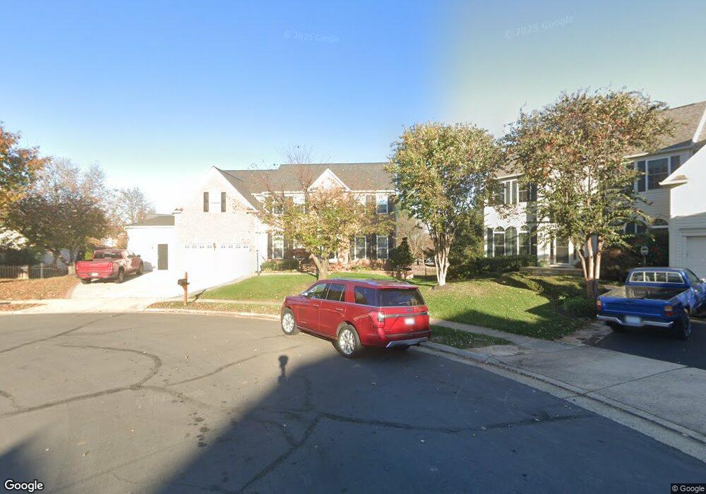
43844 Robindale Ct Ashburn, VA 20147
Estimated Value: $1,044,000 - $1,099,000
4
Beds
5
Baths
3,485
Sq Ft
$308/Sq Ft
Est. Value
About This Home
This home is located at 43844 Robindale Ct, Ashburn, VA 20147 and is currently estimated at $1,071,905, approximately $307 per square foot. 43844 Robindale Ct is a home located in Loudoun County with nearby schools including Cedar Lane Elementary School, Trailside Middle School, and Stone Bridge High.
Ownership History
Date
Name
Owned For
Owner Type
Purchase Details
Closed on
Nov 13, 1998
Sold by
Westbrook Homes L L C
Bought by
Ocak Adil
Current Estimated Value
Home Financials for this Owner
Home Financials are based on the most recent Mortgage that was taken out on this home.
Original Mortgage
$227,150
Outstanding Balance
$49,146
Interest Rate
6.49%
Estimated Equity
$1,022,759
Create a Home Valuation Report for This Property
The Home Valuation Report is an in-depth analysis detailing your home's value as well as a comparison with similar homes in the area
Home Values in the Area
Average Home Value in this Area
Purchase History
| Date | Buyer | Sale Price | Title Company |
|---|---|---|---|
| Ocak Adil | $302,437 | -- |
Source: Public Records
Mortgage History
| Date | Status | Borrower | Loan Amount |
|---|---|---|---|
| Open | Ocak Adil | $227,150 |
Source: Public Records
Tax History
| Year | Tax Paid | Tax Assessment Tax Assessment Total Assessment is a certain percentage of the fair market value that is determined by local assessors to be the total taxable value of land and additions on the property. | Land | Improvement |
|---|---|---|---|---|
| 2025 | $8,117 | $1,008,270 | $299,900 | $708,370 |
| 2024 | $8,138 | $940,780 | $294,900 | $645,880 |
| 2023 | $7,785 | $889,770 | $294,900 | $594,870 |
| 2022 | $7,524 | $845,360 | $269,900 | $575,460 |
| 2021 | $7,287 | $743,570 | $219,900 | $523,670 |
| 2020 | $7,127 | $688,620 | $199,700 | $488,920 |
| 2019 | $7,055 | $675,080 | $199,700 | $475,380 |
| 2018 | $6,681 | $615,800 | $179,700 | $436,100 |
| 2017 | $6,757 | $600,580 | $179,700 | $420,880 |
| 2016 | $6,935 | $605,650 | $0 | $0 |
| 2015 | $6,737 | $413,870 | $0 | $413,870 |
| 2014 | $6,671 | $397,910 | $0 | $397,910 |
Source: Public Records
Map
Nearby Homes
- 20337 Advantage Ct
- 20278 Glenrobin Terrace
- 20331 Susan Leslie Dr
- 20576 Ashburn Rd
- 43719 Middlebrook Terrace
- 20276 Medalist Dr
- 20129 Boxwood Place
- 20338 Fishers Island Ct
- 43983 Choptank Terrace
- 44095 Gala Cir
- 20471 Rolling Water Terrace
- 44082 Gala Cir
- 43589 Edison Club Ct
- 44048 Gala Cir
- 44106 Natalie Terrace Unit 301
- 20600 Cornstalk Terrace Unit 202
- 20602 Cornstalk Terrace Unit 101
- 20110 Muirfield Village Ct
- 44114 Natalie Terrace Unit 202
- 44118 Natalie Terrace Unit 302
- 43867 Merryoak Way
- 43849 Robindale Ct
- 43840 Robindale Ct
- 43871 Merryoak Way
- 43863 Merryoak Way
- 43845 Robindale Ct
- 43836 Robindale Ct
- 2460 Mystic Maroon Terrace
- 43859 Merryoak Way
- 43841 Robindale Ct
- 43837 Robindale Ct
- 43832 Robindale Ct
- 43870 Merryoak Way
- 43855 Merryoak Way
- 43862 Merryoak Way
- 43833 Robindale Ct
- 43858 Merryoak Way
- 43901 Backhand Terrace
- 20378 Snowpoint Place
- 20370 Snowpoint Place
Your Personal Tour Guide
Ask me questions while you tour the home.