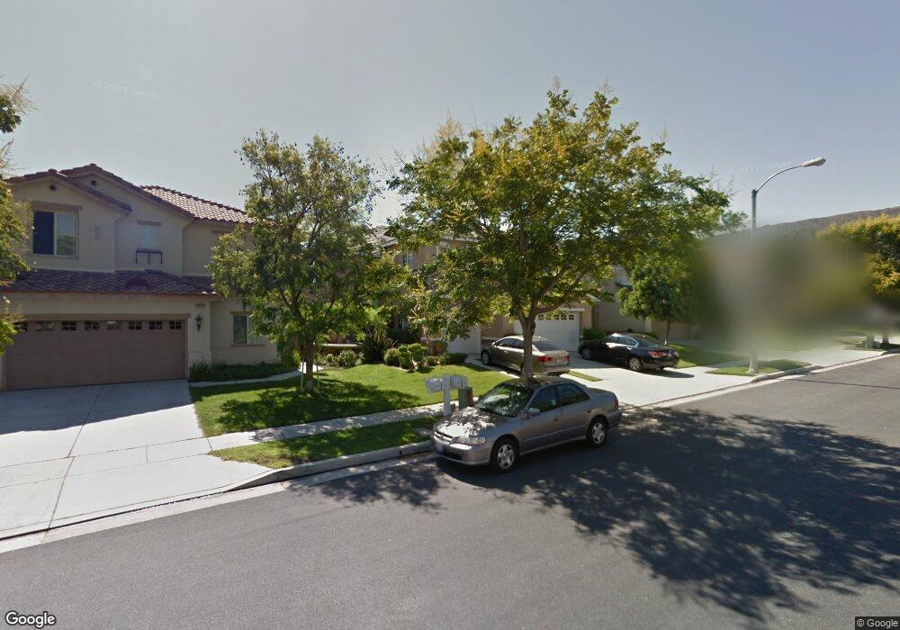
4385 Driving Range Rd Unit 30 Corona, CA 92883
Eagle Glen NeighborhoodEstimated Value: $918,000 - $994,000
About This Home
This home is located at 4385 Driving Range Rd Unit 30, Corona, CA 92883 and is currently estimated at $962,407, approximately $312 per square foot. 4385 Driving Range Rd Unit 30 is a home located in Riverside County with nearby schools including Woodrow Wilson Elementary School, El Cerrito Middle School, and Santiago High School.
Ownership History
We collect this data history from publicly available records. To have your information removed, we recommend requesting removal directly through your county’s website.
Purchase Details
Purchase Details
Home Financials for this Owner
Home Financials are based on the most recent Mortgage that was taken out on this home.Purchase Details
Purchase Details
Purchase Details
Home Financials for this Owner
Home Financials are based on the most recent Mortgage that was taken out on this home.Home Values in the Area
Average Home Value in this Area
Purchase History
We collect this data history from publicly available records. To have your information removed, we recommend requesting removal directly through your county’s website.
| Date | Buyer | Sale Price | Title Company |
|---|---|---|---|
| -- | None Listed On Document | ||
| $525,000 | First American Title Company | ||
| $430,000 | First American Title Company | ||
| -- | Lawyers Title Company | ||
| $308,500 | Fidelity National Title |
Mortgage History
We collect this data history from publicly available records. To have your information removed, we recommend requesting removal directly through your county’s website.
| Date | Status | Borrower | Loan Amount |
|---|---|---|---|
| Previous Owner | $390,000 | ||
| Previous Owner | $333,000 | ||
| Previous Owner | $274,600 |
Tax History
We collect this data history from publicly available records. To have your information removed, we recommend requesting removal directly through your county’s website.
| Year | Tax Paid | Tax Assessment Tax Assessment Total Assessment is a certain percentage of the fair market value that is determined by local assessors to be the total taxable value of land and additions on the property. | Land | Improvement |
|---|---|---|---|---|
| 2025 | $6,886 | $630,961 | $132,198 | $498,763 |
| 2023 | $6,886 | $606,462 | $127,065 | $479,397 |
| 2022 | $6,838 | $594,572 | $124,574 | $469,998 |
| 2021 | $7,437 | $582,915 | $122,132 | $460,783 |
| 2020 | $7,400 | $576,939 | $120,880 | $456,059 |
| 2019 | $7,267 | $565,627 | $118,510 | $447,117 |
| 2018 | $7,144 | $554,537 | $116,188 | $438,349 |
| 2017 | $6,959 | $543,664 | $113,910 | $429,754 |
| 2016 | $6,903 | $533,005 | $111,677 | $421,328 |
| 2015 | $6,777 | $525,000 | $110,000 | $415,000 |
| 2014 | $5,734 | $431,951 | $110,499 | $321,452 |
Map
- 4469 Driving Range Rd
- 4375 Leonard Way
- 4370 Leonard Way
- 4412 Signature Dr
- 4260 Powell Way Unit 118
- 4260 Powell Way Unit 119
- 4231 Adishian Way
- 1856 Plainfield Way
- 2336 Bearrs
- 4351 Edenwild Ln
- 4247 #107 Horvath St Unit 107
- 1916 Olympia Fields Dr
- 4132 Crooked Stick Ln
- 4167 Horvath St Unit 108
- 1749 Tamarron Dr
- 1728 Tamarron Dr
- 2303 Nova Way
- 4115 Bennett Ave
- 4105 Cameron Way Unit 103
- 1806 Riverstone St
- 4385 Driving Range Rd
- 4385 Driving Range Rd Unit 30
- 4371 Driving Range Rd
- 4399 Driving Range Rd
- 4357 Driving Range Rd
- 4413 Driving Range Rd
- 4386 Driving Range Rd
- 4427 Driving Range Rd
- 4343 Driving Range Rd
- 4400 Driving Range Rd
- 4372 Driving Range Rd Unit 199
- 4372 Driving Range Rd
- 4414 Driving Range Rd
- 4358 Driving Range Rd
- 4441 Driving Range Rd
- 4329 Driving Range Rd
- 4344 Driving Range Rd
- 4330 Driving Range Rd Unit 196
- 4455 Driving Range Rd Unit 25
- 4315 Driving Range Rd
Ask me questions while you tour the home.