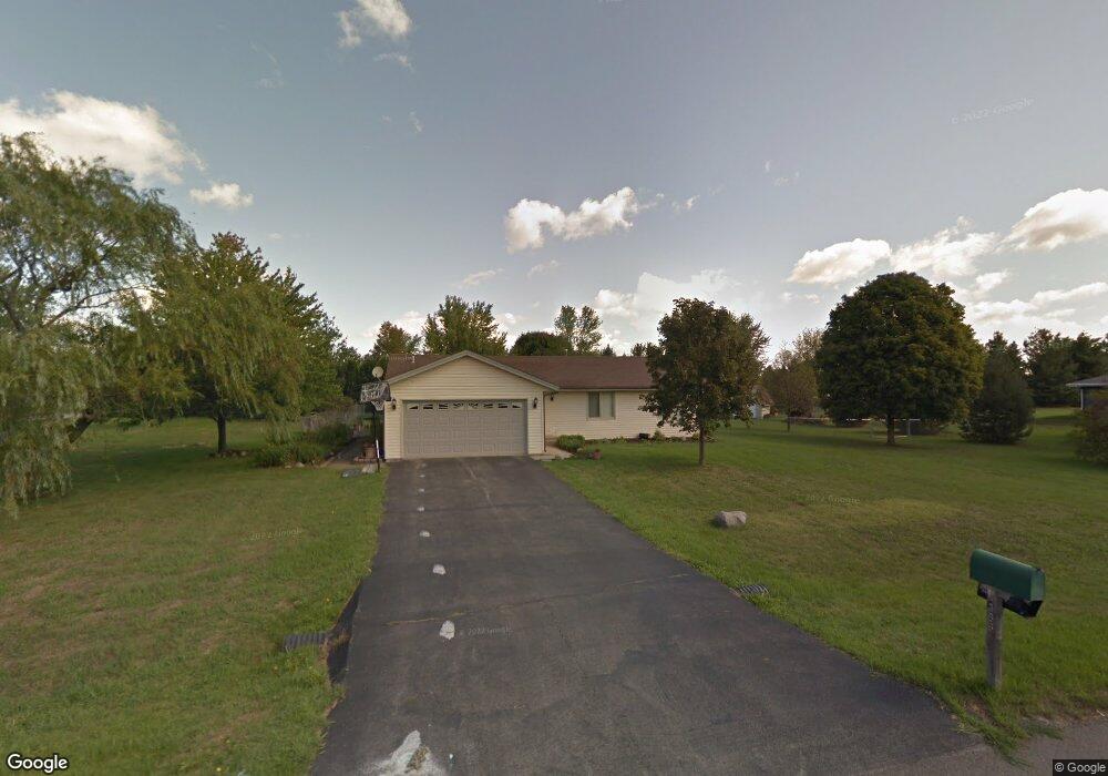
4386 Leeash Ct Roscoe, IL 61073
Estimated Value: $266,162 - $318,000
3
Beds
2
Baths
1,232
Sq Ft
$229/Sq Ft
Est. Value
About This Home
This home is located at 4386 Leeash Ct, Roscoe, IL 61073 and is currently estimated at $282,541, approximately $229 per square foot. 4386 Leeash Ct is a home located in Winnebago County with nearby schools including Ledgewood Elementary School, Kinnikinnick School, and Stone Creek School.
Ownership History
Date
Name
Owned For
Owner Type
Purchase Details
Closed on
Apr 25, 2025
Sold by
Miller Aaron W and Miller Amber M
Bought by
Miller Amber M
Current Estimated Value
Home Financials for this Owner
Home Financials are based on the most recent Mortgage that was taken out on this home.
Original Mortgage
$184,000
Outstanding Balance
$183,329
Interest Rate
6.5%
Mortgage Type
New Conventional
Estimated Equity
$99,212
Purchase Details
Closed on
Apr 15, 2010
Bought by
Miller Aaron W and Miller Amber M
Create a Home Valuation Report for This Property
The Home Valuation Report is an in-depth analysis detailing your home's value as well as a comparison with similar homes in the area
Home Values in the Area
Average Home Value in this Area
Purchase History
| Date | Buyer | Sale Price | Title Company |
|---|---|---|---|
| Miller Amber M | -- | None Listed On Document | |
| Miller Aaron W | $135,000 | -- |
Source: Public Records
Mortgage History
| Date | Status | Borrower | Loan Amount |
|---|---|---|---|
| Open | Miller Amber M | $184,000 |
Source: Public Records
Tax History
| Year | Tax Paid | Tax Assessment Tax Assessment Total Assessment is a certain percentage of the fair market value that is determined by local assessors to be the total taxable value of land and additions on the property. | Land | Improvement |
|---|---|---|---|---|
| 2024 | $4,996 | $66,576 | $12,654 | $53,922 |
| 2023 | $4,621 | $59,747 | $11,356 | $48,391 |
| 2022 | $4,387 | $54,618 | $10,381 | $44,237 |
| 2021 | $4,176 | $51,309 | $9,752 | $41,557 |
| 2020 | $4,089 | $49,445 | $9,398 | $40,047 |
| 2019 | $3,969 | $47,230 | $8,977 | $38,253 |
| 2018 | $3,723 | $45,383 | $8,626 | $36,757 |
| 2017 | $3,832 | $43,772 | $8,320 | $35,452 |
| 2016 | $3,671 | $43,070 | $8,187 | $34,883 |
| 2015 | $3,510 | $41,840 | $7,953 | $33,887 |
| 2014 | $3,234 | $41,311 | $7,852 | $33,459 |
Source: Public Records
Map
Nearby Homes
- 4830 Crown Point Cir
- 11748 Cedarbrook Rd
- 9.41 Acres Bluestem Rd
- 11578 Edgemere Terrace
- 11062 Chicory Ridge Way
- 12441 Woodcrest Ln
- 10458 Main St
- 10662 Chicory Ridge Way
- 11173 Downing Ln
- 5683 Oak Village Dr Unit 5683
- 11728 Freedlund Ct
- 664 Elberon Way
- 638 Merrion Rd
- 0000 Joncey Dr
- 13280 Huntington Chase
- 11641 Deacon Dr
- 12227 Joncey Dr
- 4564 E Rockton Rd
- 653 Yosemite Ave
- 9968 Leana Dr
- 11695 Balsa Ln
- 4428 Leeash Ct
- 4381 Leeash Ct
- 11686 Balsa Ln
- 11654 Balsa Ln
- 4435 Jennifer Dr
- 11732 Balsa Ln
- 11612 Balsa Ln
- 4413 Leeash Ct
- 11555 Balsa Ln
- 4435 Leeash Ct
- 4312 Cedar Brook Rd
- 4337 Pfister Ln
- 4361 Pfister Ln
- 4290 Buggywhip
- 11731 Balsa Ln
- 11128 Cedarbrook Rd
- 11174 Cedarbrook Rd
- 4321 Pfister Ln
- 4295 Buggywhip