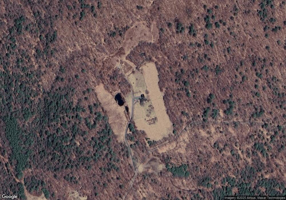
439 Bowlder Rd Sullivan, NH 03445
Estimated Value: $768,000 - $980,000
4
Beds
3
Baths
2,902
Sq Ft
$309/Sq Ft
Est. Value
About This Home
This home is located at 439 Bowlder Rd, Sullivan, NH 03445 and is currently estimated at $896,601, approximately $308 per square foot. 439 Bowlder Rd is a home located in Cheshire County with nearby schools including Keene Middle School and Keene High School.
Ownership History
Date
Name
Owned For
Owner Type
Purchase Details
Closed on
Mar 15, 2021
Sold by
Primrose Donald R
Bought by
Smith Bradford P and Oliver Robin
Current Estimated Value
Home Financials for this Owner
Home Financials are based on the most recent Mortgage that was taken out on this home.
Original Mortgage
$400,000
Outstanding Balance
$358,572
Interest Rate
2.7%
Mortgage Type
Purchase Money Mortgage
Estimated Equity
$538,029
Purchase Details
Closed on
Apr 12, 2011
Sold by
Hoffman John E and Hoffman Jean W
Bought by
Primrose Donald Robert
Home Financials for this Owner
Home Financials are based on the most recent Mortgage that was taken out on this home.
Original Mortgage
$138,000
Interest Rate
4.99%
Mortgage Type
Purchase Money Mortgage
Create a Home Valuation Report for This Property
The Home Valuation Report is an in-depth analysis detailing your home's value as well as a comparison with similar homes in the area
Home Values in the Area
Average Home Value in this Area
Purchase History
| Date | Buyer | Sale Price | Title Company |
|---|---|---|---|
| Smith Bradford P | $610,000 | None Available | |
| Primrose Donald Robert | $200,000 | -- |
Source: Public Records
Mortgage History
| Date | Status | Borrower | Loan Amount |
|---|---|---|---|
| Open | Smith Bradford P | $400,000 | |
| Previous Owner | Primrose Donald Robert | $40,000 | |
| Previous Owner | Primrose Donald Robert | $138,000 |
Source: Public Records
Tax History Compared to Growth
Tax History
| Year | Tax Paid | Tax Assessment Tax Assessment Total Assessment is a certain percentage of the fair market value that is determined by local assessors to be the total taxable value of land and additions on the property. | Land | Improvement |
|---|---|---|---|---|
| 2024 | $14,456 | $799,137 | $102,237 | $696,900 |
| 2023 | $14,725 | $448,932 | $58,432 | $390,500 |
| 2022 | $11,541 | $436,815 | $58,615 | $378,200 |
| 2021 | $10,281 | $437,667 | $59,467 | $378,200 |
| 2020 | $3,347 | $437,458 | $59,258 | $378,200 |
| 2019 | $9,736 | $437,558 | $59,358 | $378,200 |
| 2018 | $13,169 | $390,890 | $57,990 | $332,900 |
| 2017 | $3,282 | $390,546 | $57,646 | $332,900 |
| 2016 | $3,493 | $427,244 | $102,044 | $325,200 |
| 2015 | $11,409 | $426,986 | $101,786 | $325,200 |
| 2014 | $11,058 | $426,968 | $113,368 | $313,600 |
| 2013 | $12,484 | $424,345 | $106,045 | $318,300 |
Source: Public Records
Map
Nearby Homes
- 29 Nash Corner Rd
- 24 White Brook Dr
- 16 Nash Corner Rd
- 0 Teela Dr Unit 5037010
- Lot 53 Apple Hill Rd
- 72 W Shore Rd
- 101 Gilsum Rd
- 258 Valley Rd
- 22 Lakeview Terrace
- 105 South Rd
- 00 High St Unit 1
- 95 Apple Hill Rd
- 0 Connor Dr
- 45 Henderson Rd
- 101 Vessel Rock Rd
- 6 Mill St
- 172 Nh-Rte 123 Route
- 0 Old Stoddard Rd
- 15 Deadbrook Rd
- Lot 4 Belvedere Rd