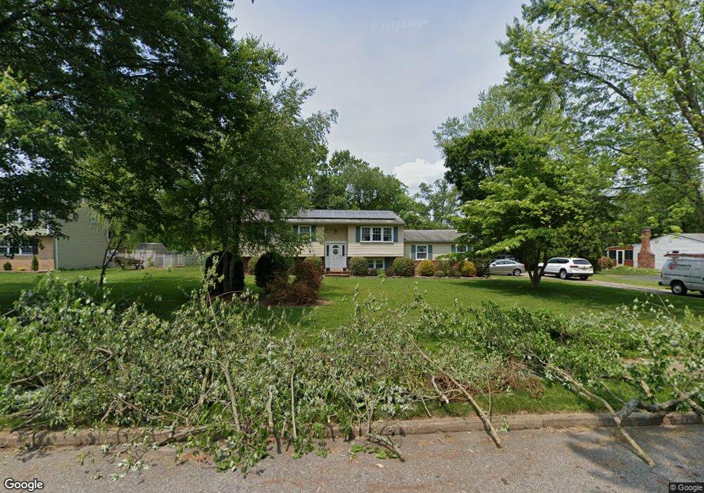
439 Cedar Ln Mickleton, NJ 08056
Estimated Value: $384,000 - $496,000
Studio
--
Bath
1,976
Sq Ft
$228/Sq Ft
Est. Value
About This Home
This home is located at 439 Cedar Ln, Mickleton, NJ 08056 and is currently estimated at $450,612, approximately $228 per square foot. 439 Cedar Ln is a home located in Gloucester County with nearby schools including Jeffrey Clark School, Samuel Mickle School, and Kingsway Regional Middle School.
Ownership History
Date
Name
Owned For
Owner Type
Purchase Details
Closed on
Jul 6, 2007
Sold by
Kent Deborah
Bought by
Bottiglieri Stephen and Bottiglieri Joanna
Current Estimated Value
Home Financials for this Owner
Home Financials are based on the most recent Mortgage that was taken out on this home.
Original Mortgage
$218,000
Interest Rate
6.25%
Mortgage Type
Purchase Money Mortgage
Purchase Details
Closed on
Aug 12, 2005
Sold by
Kent Bruce and Kent Deborah
Bought by
Kent Deborah
Home Financials for this Owner
Home Financials are based on the most recent Mortgage that was taken out on this home.
Original Mortgage
$62,000
Interest Rate
5.79%
Mortgage Type
Credit Line Revolving
Create a Home Valuation Report for This Property
The Home Valuation Report is an in-depth analysis detailing your home's value as well as a comparison with similar homes in the area
Home Values in the Area
Average Home Value in this Area
Purchase History
| Date | Buyer | Sale Price | Title Company |
|---|---|---|---|
| Bottiglieri Stephen | $272,500 | First American Title Ins Co | |
| Kent Deborah | -- | -- |
Source: Public Records
Mortgage History
| Date | Status | Borrower | Loan Amount |
|---|---|---|---|
| Open | Bottiglieri Stephen | $40,875 | |
| Previous Owner | Bottiglieri Stephen | $218,000 | |
| Previous Owner | Kent Deborah | $62,000 |
Source: Public Records
Tax History
| Year | Tax Paid | Tax Assessment Tax Assessment Total Assessment is a certain percentage of the fair market value that is determined by local assessors to be the total taxable value of land and additions on the property. | Land | Improvement |
|---|---|---|---|---|
| 2025 | $7,922 | $249,200 | $75,100 | $174,100 |
| 2024 | $7,670 | $249,200 | $75,100 | $174,100 |
Source: Public Records
Map
Nearby Homes
- 241 Gaunt Dr
- 424 Country Way
- 415 Country Way
- 118 Timberlane Rd
- 200 David Mills Ln
- 18 Millwood Dr
- 120 Jubilee Dr
- 552 Hereford Ln
- 355 Friendship Rd
- 209 Charles Corliss Blvd
- 2701 Lamington Ct
- 255 Genesee Rd
- 71 W Tomlin Station Rd
- 1224 Heddon Ave
- 1265 Walter Ave
- 1221 Walter Ave
- 255 Elizabeth Ave
- 0 Lodge Ave
- L8 Lodge Ave
- 276-280 County House Rd
- 441 Cedar Ln
- 437 Cedar Ln
- 438 Cedar Ln
- 440 Cedar Ln
- 111 Brook Hollow
- 433 Cedar Ln
- 432 Cedar Ln
- 107 Brook Hollow
- 136 Democrat Rd
- 110 Democrat Rd
- 105 Brookhollow Ct
- 431 Cedar Ln
- 430 Cedar Ln
- 101 Brookhollow Ct
- 108 Brook Hollow
- 106 Democrat Rd
- 111 Gaunt Dr
- 104 Brookhollow Ct
- 100 Brook Hollow
- 249 Gaunt Dr
Your Personal Tour Guide
Ask me questions while you tour the home.