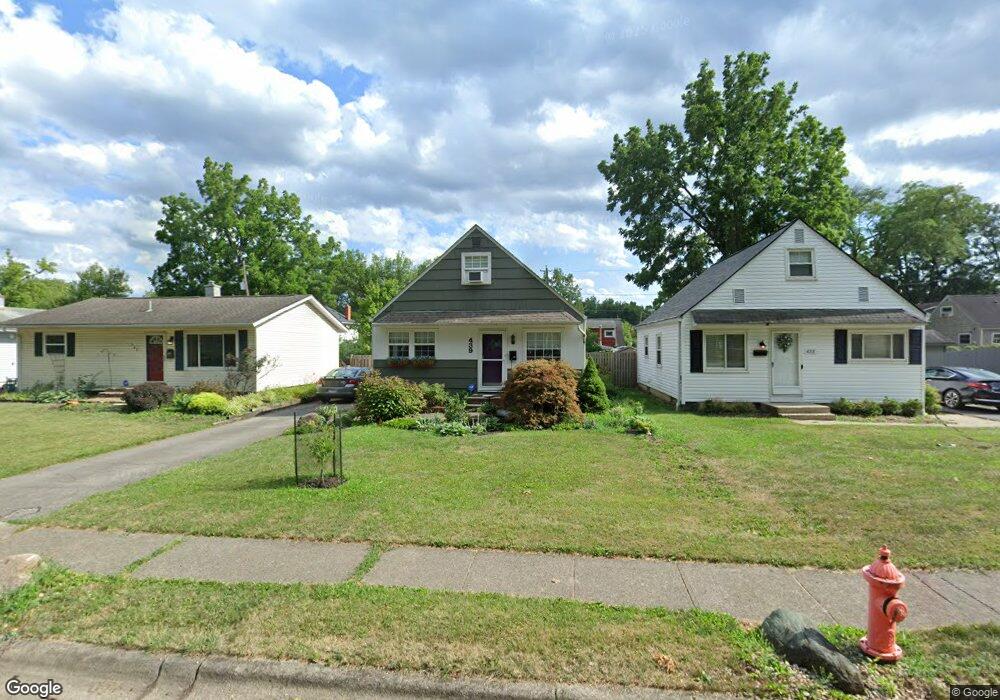
439 Chase Rd Columbus, OH 43214
Clintonville NeighborhoodEstimated Value: $295,866 - $325,000
3
Beds
1
Bath
1,100
Sq Ft
$283/Sq Ft
Est. Value
About This Home
This home is located at 439 Chase Rd, Columbus, OH 43214 and is currently estimated at $311,467, approximately $283 per square foot. 439 Chase Rd is a home located in Franklin County with nearby schools including Salem Elementary School, Dominion Middle School, and Whetstone High School.
Ownership History
Date
Name
Owned For
Owner Type
Purchase Details
Closed on
Feb 27, 2006
Sold by
Vetter Bruce J and Vetter Melissa
Bought by
Mans Suzanne R
Current Estimated Value
Home Financials for this Owner
Home Financials are based on the most recent Mortgage that was taken out on this home.
Original Mortgage
$112,800
Outstanding Balance
$62,483
Interest Rate
6.22%
Mortgage Type
Fannie Mae Freddie Mac
Estimated Equity
$248,984
Purchase Details
Closed on
Aug 26, 2004
Sold by
Keeler Christine
Bought by
Vetter Bruce J
Purchase Details
Closed on
Jun 9, 2000
Sold by
Keeler William J and Keeler Ruth N
Bought by
Keeler Christine
Purchase Details
Closed on
Aug 21, 1984
Bought by
Keeler William J
Purchase Details
Closed on
Jun 1, 1984
Create a Home Valuation Report for This Property
The Home Valuation Report is an in-depth analysis detailing your home's value as well as a comparison with similar homes in the area
Home Values in the Area
Average Home Value in this Area
Purchase History
| Date | Buyer | Sale Price | Title Company |
|---|---|---|---|
| Mans Suzanne R | $141,000 | Chicago | |
| Vetter Bruce J | $80,000 | Title First | |
| Keeler Christine | -- | -- | |
| Keeler William J | -- | -- | |
| -- | -- | -- |
Source: Public Records
Mortgage History
| Date | Status | Borrower | Loan Amount |
|---|---|---|---|
| Open | Mans Suzanne R | $112,800 |
Source: Public Records
Tax History
| Year | Tax Paid | Tax Assessment Tax Assessment Total Assessment is a certain percentage of the fair market value that is determined by local assessors to be the total taxable value of land and additions on the property. | Land | Improvement |
|---|---|---|---|---|
| 2025 | $3,660 | $81,550 | $32,550 | $49,000 |
| 2024 | $3,660 | $81,550 | $32,550 | $49,000 |
| 2023 | $3,613 | $81,550 | $32,550 | $49,000 |
| 2022 | $3,257 | $62,790 | $15,050 | $47,740 |
| 2021 | $3,262 | $62,790 | $15,050 | $47,740 |
| 2020 | $3,267 | $62,790 | $15,050 | $47,740 |
| 2019 | $2,952 | $48,660 | $11,590 | $37,070 |
| 2018 | $2,946 | $48,660 | $11,590 | $37,070 |
| 2017 | $2,950 | $48,660 | $11,590 | $37,070 |
| 2016 | $3,247 | $49,010 | $13,270 | $35,740 |
| 2015 | $2,947 | $49,010 | $13,270 | $35,740 |
| 2014 | $2,954 | $49,010 | $13,270 | $35,740 |
| 2013 | $1,387 | $46,655 | $12,635 | $34,020 |
Source: Public Records
Map
Nearby Homes
- 468 E Lincoln Ave
- 281 E Selby Blvd
- 587 Kenbrook Dr
- 627 S Selby Blvd
- 5301 Indianola Ave
- 734 Worthington Forest Place Unit 734
- 736 Worthington Forest Place Unit 736
- 119 E Lincoln Ave
- 5795 Foster Ave
- 5364 Stock Rd
- 952 Minerva Ave
- 5790 Crescent Ct
- 68 W Kanawha Ave
- 686 Plymouth St
- 5318 Eisenhower Rd
- 131 Broad Meadows Blvd
- 649 High St Unit 202
- 177 Franklin Ave
- 5822 Falmouth Ct
- 327 E Jeffrey Place
- 433 Chase Rd
- 443 Chase Rd
- 449 Chase Rd
- 421 Chase Rd
- 434 E Lincoln Ave
- 434 E Lincoln Ave
- 5468 Sharon Park Ave
- 457 Chase Rd
- 5460 Sharon Park Ave
- 0 E Lincoln Ave
- 411 Chase Rd
- 5458 Sharon Park Ave
- 465 Chase Rd
- 440 Chase Rd
- 434 Chase Rd
- 444 Chase Rd
- 5448 Sharon Park Ave
- 428 Chase Rd
- 448 Chase Rd
- 450 E Lincoln Ave
Your Personal Tour Guide
Ask me questions while you tour the home.