439 Cornwall Bridge Rd Sharon, CT 06069
Estimated Value: $713,619 - $1,065,000
1
Bed
3
Baths
336
Sq Ft
$2,767/Sq Ft
Est. Value
About This Home
This home is located at 439 Cornwall Bridge Rd, Sharon, CT 06069 and is currently estimated at $929,873, approximately $2,767 per square foot. 439 Cornwall Bridge Rd is a home with nearby schools including Housatonic Valley Regional High School.
Ownership History
Date
Name
Owned For
Owner Type
Purchase Details
Closed on
Oct 8, 2009
Sold by
Jenks William Tp
Bought by
Jenks William Tp and Caroselli-Jenks Rosemarie
Current Estimated Value
Purchase Details
Closed on
Dec 21, 1999
Sold by
Jenks William Tp
Bought by
Trottier Edward P
Create a Home Valuation Report for This Property
The Home Valuation Report is an in-depth analysis detailing your home's value as well as a comparison with similar homes in the area
Home Values in the Area
Average Home Value in this Area
Purchase History
| Date | Buyer | Sale Price | Title Company |
|---|---|---|---|
| Jenks William Tp | -- | -- | |
| Jenks William Tp | -- | -- | |
| Trottier Edward P | $79,000 | -- | |
| Trottier Edward P | $79,000 | -- |
Source: Public Records
Mortgage History
| Date | Status | Borrower | Loan Amount |
|---|---|---|---|
| Previous Owner | Trottier Edward P | $100,000 | |
| Previous Owner | Trottier Edward P | $401,600 |
Source: Public Records
Tax History
| Year | Tax Paid | Tax Assessment Tax Assessment Total Assessment is a certain percentage of the fair market value that is determined by local assessors to be the total taxable value of land and additions on the property. | Land | Improvement |
|---|---|---|---|---|
| 2025 | $3,452 | $309,600 | $167,900 | $141,700 |
| 2024 | $3,266 | $309,600 | $167,900 | $141,700 |
| 2023 | $3,673 | $255,100 | $138,600 | $116,500 |
| 2022 | $3,673 | $255,100 | $138,600 | $116,500 |
| 2021 | $3,699 | $255,100 | $138,600 | $116,500 |
| 2020 | $3,673 | $255,100 | $138,600 | $116,500 |
| 2019 | $3,673 | $255,100 | $138,600 | $116,500 |
| 2018 | $3,963 | $290,600 | $170,500 | $120,100 |
| 2017 | $3,893 | $275,300 | $170,500 | $104,800 |
| 2016 | $3,082 | $214,000 | $170,500 | $43,500 |
| 2015 | $2,932 | $214,000 | $170,500 | $43,500 |
| 2014 | $2,836 | $214,000 | $170,500 | $43,500 |
Source: Public Records
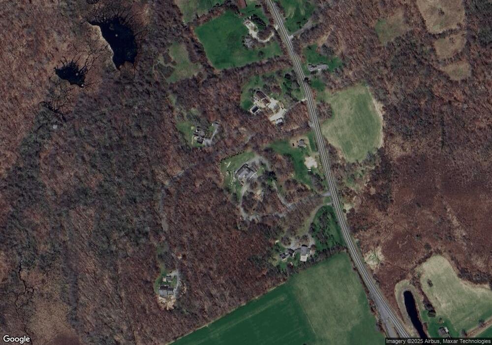
Map
Nearby Homes
- 25 Bowne Rd
- 130 Sharon Mountain Rd
- 76 Fairchild Rd
- 45 Herrick Rd
- 50 Jewett Hill Rd
- 70 Kent Rd S
- 331 Calkinstown Rd
- 1 Great Elm Dr
- 59 Cornwall Bridge Rd
- 2 Great Elm Rd
- 0 Cornwall Bridge Rd Unit 170559925
- 16 Upper Main St
- 30 Knibloe Hill Rd
- 0 W Woods Rd Unit 2
- 79 Hilltop Rd
- 1 W Woods Rd
- 138 Amenia Rd
- 0 Railroad St
- 143 Whitcomb Hill Rd
- 22 Troutbeck Crescent
- 431 Cornwall Bridge Rd
- 441 Cornwall Bridge Rd
- 429 Cornwall Bridge Rd
- 425 Cornwall Bridge Rd
- 0 Red Horse Hill
- 0 Red Horse Hill Unit 98495279
- 0 Red Horse Hill Unit 98522747
- 427 Cornwall Bridge Rd
- 430 Cornwall Bridge Rd
- 1 Dunbar Rd
- 423 Cornwall Bridge Rd
- 454 Cornwall Bridge Rd
- 10 Red Horse Hill
- 30 Red Horse Hill
- 416 Cornwall Bridge Rd
- 0 Cornwall Bridge Rd Unit 360491
- 0 Cornwall Bridge Rd Unit 98430313
- 0 Cornwall Bridge Rd Unit 98391750
- 0 Cornwall Bridge Rd Unit 99004511
- 9 Dunbar Rd
Your Personal Tour Guide
Ask me questions while you tour the home.