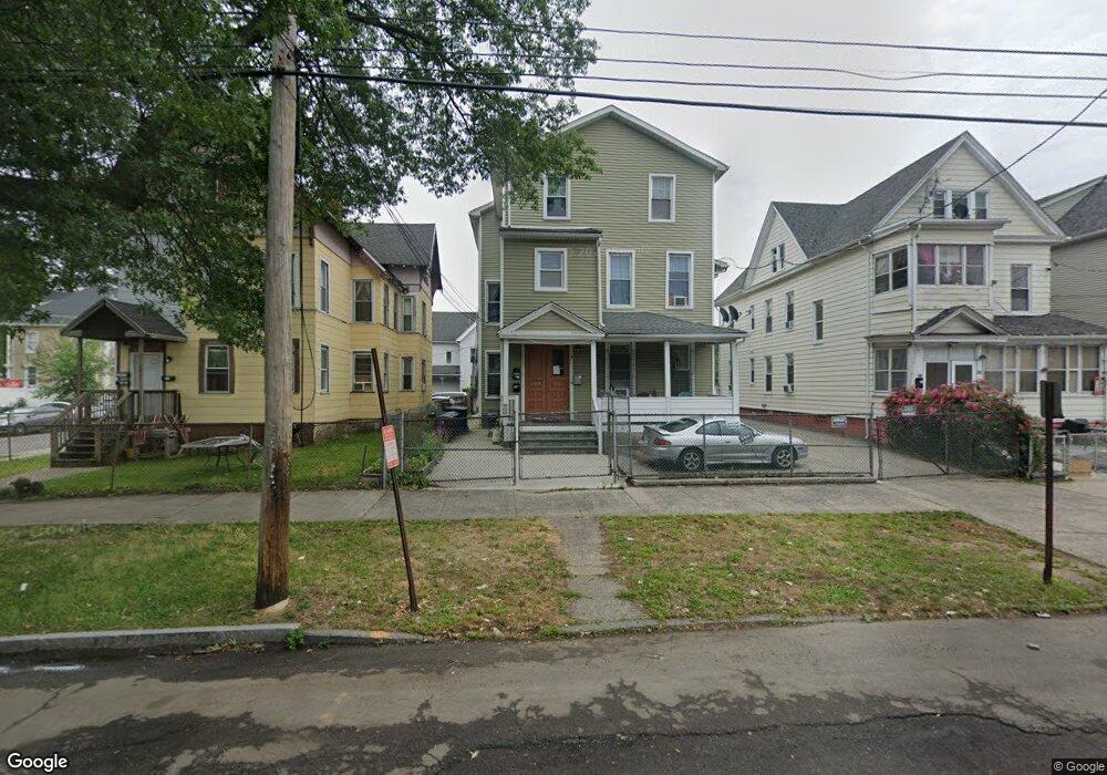
439 Howard Ave New Haven, CT 06519
The Hill NeighborhoodEstimated Value: $154,266 - $538,000
5
Beds
3
Baths
4,456
Sq Ft
$80/Sq Ft
Est. Value
About This Home
This home is located at 439 Howard Ave, New Haven, CT 06519 and is currently estimated at $356,817, approximately $80 per square foot. 439 Howard Ave is a home located in New Haven County with nearby schools including John C. Daniels and St Martin De Porres Academy.
Ownership History
Date
Name
Owned For
Owner Type
Purchase Details
Closed on
Oct 27, 2011
Sold by
Schaperow Jeffrey
Bought by
Pinos Claudio and Pinos Libelia
Current Estimated Value
Create a Home Valuation Report for This Property
The Home Valuation Report is an in-depth analysis detailing your home's value as well as a comparison with similar homes in the area
Home Values in the Area
Average Home Value in this Area
Purchase History
| Date | Buyer | Sale Price | Title Company |
|---|---|---|---|
| Pinos Claudio | $79,000 | -- |
Source: Public Records
Mortgage History
| Date | Status | Borrower | Loan Amount |
|---|---|---|---|
| Previous Owner | Pinos Claudio | $405,000 | |
| Previous Owner | Pinos Claudio | $101,358 | |
| Previous Owner | Pinos Claudio | $6,000 | |
| Previous Owner | Pinos Claudio | $5,000 |
Source: Public Records
Tax History
| Year | Tax Paid | Tax Assessment Tax Assessment Total Assessment is a certain percentage of the fair market value that is determined by local assessors to be the total taxable value of land and additions on the property. | Land | Improvement |
|---|---|---|---|---|
| 2025 | $8,371 | $212,450 | $22,260 | $190,190 |
| 2024 | $8,179 | $212,450 | $22,260 | $190,190 |
| 2023 | $7,903 | $212,450 | $22,260 | $190,190 |
| 2022 | $8,445 | $212,450 | $22,260 | $190,190 |
| 2021 | $5,566 | $126,840 | $19,180 | $107,660 |
| 2020 | $5,566 | $126,840 | $19,180 | $107,660 |
| 2019 | $5,452 | $126,840 | $19,180 | $107,660 |
| 2018 | $5,452 | $126,840 | $19,180 | $107,660 |
| 2017 | $4,906 | $126,840 | $19,180 | $107,660 |
| 2016 | $4,110 | $98,910 | $12,180 | $86,730 |
| 2015 | $4,110 | $98,910 | $12,180 | $86,730 |
| 2014 | $4,110 | $98,910 | $12,180 | $86,730 |
Source: Public Records
Map
Nearby Homes
- 433 Howard Ave
- 443 Howard Ave
- 429 Howard Ave
- 36 Rosette St
- 425 Howard Ave
- 32 Rosette St
- 451 Howard Ave
- 37 Rosette St
- 26 Rosette St
- 455 Howard Ave Unit 1
- 455 Howard Ave
- 24 Rosette St
- 35 Rosette St
- 33 Rosette St
- 440 Howard Ave Unit 3
- 440 Howard Ave Unit 1
- 461 Howard Ave
- 461 Howard Ave Unit 3
- 22 Rosette St
- 446 Howard Ave
Your Personal Tour Guide
Ask me questions while you tour the home.