439 Tandy Brook Rd Cornish, NH 03745
Estimated Value: $316,000 - $325,000
2
Beds
1
Bath
1,978
Sq Ft
$162/Sq Ft
Est. Value
About This Home
This home is located at 439 Tandy Brook Rd, Cornish, NH 03745 and is currently estimated at $320,093, approximately $161 per square foot. 439 Tandy Brook Rd is a home with nearby schools including Cornish Elementary School.
Ownership History
Date
Name
Owned For
Owner Type
Purchase Details
Closed on
Sep 20, 2024
Sold by
Kendall Thomas J
Bought by
Strout Jeremiah J
Current Estimated Value
Home Financials for this Owner
Home Financials are based on the most recent Mortgage that was taken out on this home.
Original Mortgage
$294,500
Outstanding Balance
$290,038
Interest Rate
6.47%
Mortgage Type
Purchase Money Mortgage
Estimated Equity
$30,055
Create a Home Valuation Report for This Property
The Home Valuation Report is an in-depth analysis detailing your home's value as well as a comparison with similar homes in the area
Home Values in the Area
Average Home Value in this Area
Purchase History
| Date | Buyer | Sale Price | Title Company |
|---|---|---|---|
| Strout Jeremiah J | $310,000 | None Available | |
| Strout Jeremiah J | $310,000 | None Available |
Source: Public Records
Mortgage History
| Date | Status | Borrower | Loan Amount |
|---|---|---|---|
| Open | Strout Jeremiah J | $294,500 | |
| Closed | Strout Jeremiah J | $294,500 |
Source: Public Records
Tax History
| Year | Tax Paid | Tax Assessment Tax Assessment Total Assessment is a certain percentage of the fair market value that is determined by local assessors to be the total taxable value of land and additions on the property. | Land | Improvement |
|---|---|---|---|---|
| 2025 | $5,287 | $305,600 | $76,400 | $229,200 |
| 2024 | $4,948 | $305,600 | $76,400 | $229,200 |
| 2023 | $4,750 | $181,100 | $53,100 | $128,000 |
| 2022 | $4,287 | $181,100 | $53,100 | $128,000 |
| 2021 | $4,113 | $181,100 | $53,100 | $128,000 |
| 2020 | $3,856 | $181,100 | $53,100 | $128,000 |
| 2019 | $3,535 | $181,100 | $53,100 | $128,000 |
| 2018 | $3,481 | $158,300 | $47,100 | $111,200 |
| 2017 | $3,407 | $158,300 | $47,100 | $111,200 |
| 2016 | $3,385 | $158,200 | $47,100 | $111,100 |
| 2015 | $3,637 | $158,200 | $47,100 | $111,100 |
| 2014 | $3,594 | $158,200 | $47,100 | $111,100 |
| 2013 | $3,687 | $175,800 | $57,200 | $118,600 |
Source: Public Records
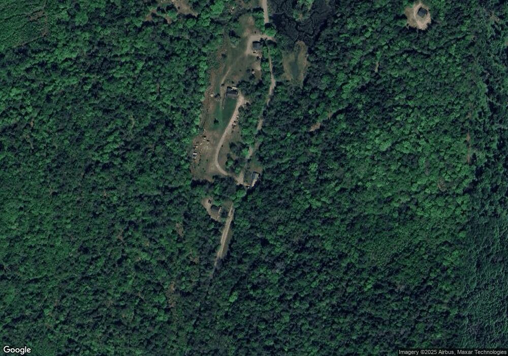
Map
Nearby Homes
- 00 Tandy Brook Rd Unit 12
- 528 Town House Rd
- 0 Town House Rd Unit 28
- 16 Eric Place
- 9 Mccusker Place
- 763 Center Rd
- 66 Country Skyline Blvd
- 412 Winter St
- 0 Hanover St Unit 1
- 17 Alderwood Ct
- 84 Cubb Ct
- 11 Cubb Ct
- 517 Back Mountain Rd
- 108 Cubb Ct
- 23 Cubb Ct
- 1928 Vermont 131
- 64 State St
- 0 Slab City Rd Unit 5036741
- 43 Davis St
- 211 North St
- 439 Tandy Brook Rd
- 450 Tandy Brook Rd
- 425 Tandy Brook Rd
- 0 Tandy Brook Rd
- 386 Tandy Brook Rd
- 406 Tandy Brook Rd
- 382 Tandy Brook Rd
- 499 Tandy Brook Rd
- 80 Hilliard Rd
- 473 Jackson Rd
- 23 Hilliard Rd
- 524 Jackson Rd
- 540 Jackson Rd
- 486 Jackson Rd
- 18 Hilliard Rd
- 466 Jackson Rd
- 93 Hilliard Rd
- 528 Jackson Rd
- 425 Jackson Rd
- 567 Tandy Brook Rd
Your Personal Tour Guide
Ask me questions while you tour the home.