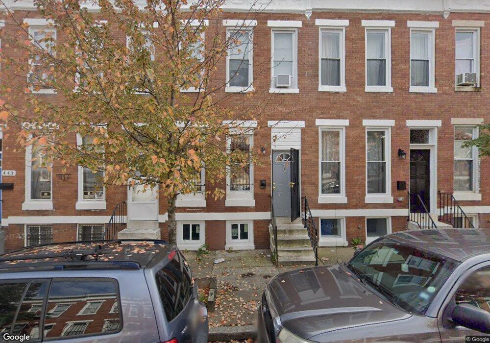
439 Whitridge Ave Baltimore, MD 21218
Harwood NeighborhoodEstimated Value: $122,635 - $180,000
--
Bed
1
Bath
1,344
Sq Ft
$113/Sq Ft
Est. Value
About This Home
This home is located at 439 Whitridge Ave, Baltimore, MD 21218 and is currently estimated at $151,318, approximately $112 per square foot. 439 Whitridge Ave is a home located in Baltimore City with nearby schools including Barclay Elementary/Middle School, Booker T. Washington Middle School, and Paul Laurence Dunbar High School.
Ownership History
Date
Name
Owned For
Owner Type
Purchase Details
Closed on
Jun 18, 2008
Sold by
439 Whitridge Avenue Llc
Bought by
Whitridge Acquistion Llc
Current Estimated Value
Purchase Details
Closed on
May 4, 2007
Sold by
Bsd Llc
Bought by
439 Whitridge Avenue Llc
Home Financials for this Owner
Home Financials are based on the most recent Mortgage that was taken out on this home.
Original Mortgage
$115,000
Interest Rate
6.24%
Mortgage Type
Purchase Money Mortgage
Create a Home Valuation Report for This Property
The Home Valuation Report is an in-depth analysis detailing your home's value as well as a comparison with similar homes in the area
Home Values in the Area
Average Home Value in this Area
Purchase History
| Date | Buyer | Sale Price | Title Company |
|---|---|---|---|
| Whitridge Acquistion Llc | $115,000 | -- | |
| 439 Whitridge Avenue Llc | $35,000 | -- |
Source: Public Records
Mortgage History
| Date | Status | Borrower | Loan Amount |
|---|---|---|---|
| Previous Owner | 439 Whitridge Avenue Llc | $115,000 |
Source: Public Records
Tax History Compared to Growth
Tax History
| Year | Tax Paid | Tax Assessment Tax Assessment Total Assessment is a certain percentage of the fair market value that is determined by local assessors to be the total taxable value of land and additions on the property. | Land | Improvement |
|---|---|---|---|---|
| 2025 | $1,144 | $49,400 | $40,000 | $9,400 |
| 2024 | $1,144 | $48,700 | $0 | $0 |
| 2023 | $1,133 | $48,000 | $0 | $0 |
| 2022 | $1,116 | $47,300 | $40,000 | $7,300 |
| 2021 | $1,114 | $47,200 | $0 | $0 |
| 2020 | $1,112 | $47,100 | $0 | $0 |
| 2019 | $1,931 | $47,000 | $40,000 | $7,000 |
| 2018 | $1,940 | $82,200 | $40,000 | $42,200 |
| 2017 | $1,940 | $82,200 | $0 | $0 |
| 2016 | $1,520 | $82,200 | $0 | $0 |
| 2015 | $1,520 | $59,133 | $0 | $0 |
| 2014 | $1,520 | $36,067 | $0 | $0 |
Source: Public Records
Map
Nearby Homes
- 431 Whitridge Ave
- 430 Whitridge Ave
- 418 Whitridge Ave
- 439 E 27th St
- 408 Whitridge Ave
- 434 E 28th St
- 444 E 28th St
- 348 Whitridge Ave
- 442 E Lorraine Ave
- 428 E Lorraine Ave
- 435 Ilchester Ave
- 429 Ilchester Ave
- 2717 Boone St
- 2715 Boone St
- 516 E 27th St
- 448 Ilchester Ave
- 2633 Boone St
- 318 E 28th St
- 300 E 27th St
- 312 E 28th St
- 441 Whitridge Ave
- 437 Whitridge Ave
- 435 Whitridge Ave
- 443 Whitridge Ave
- 433 Whitridge Ave
- 445 Whitridge Ave
- 447 Whitridge Ave
- 420 E 27th St
- 429 Whitridge Ave
- 449 Whitridge Ave
- 427 Whitridge Ave
- 451 Whitridge Ave
- 453 Whitridge Ave
- 425 Whitridge Ave
- 423 Whitridge Ave
- 438 Whitridge Ave
- 440 Whitridge Ave
- 436 Whitridge Ave
- 455 Whitridge Ave
- 442 Whitridge Ave