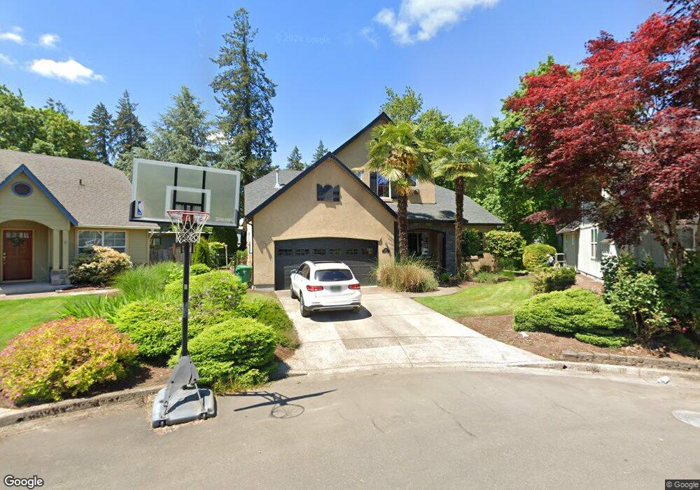
4390 Katy Ln Eugene, OR 97404
Santa Clara NeighborhoodEstimated Value: $558,000 - $639,000
About This Home
This home is located at 4390 Katy Ln, Eugene, OR 97404 and is currently estimated at $603,730, approximately $236 per square foot. 4390 Katy Ln is a home located in Lane County with nearby schools including Awbrey Park Elementary School, Madison Middle School, and North Eugene High School.
Ownership History
We collect this data history from publicly available records. To have your information removed, we recommend requesting removal directly through your county’s website.
Purchase Details
Home Financials for this Owner
Home Financials are based on the most recent Mortgage that was taken out on this home.Purchase Details
Home Financials for this Owner
Home Financials are based on the most recent Mortgage that was taken out on this home.Home Values in the Area
Average Home Value in this Area
Purchase History
We collect this data history from publicly available records. To have your information removed, we recommend requesting removal directly through your county’s website.
| Date | Buyer | Sale Price | Title Company |
|---|---|---|---|
| -- | Western Pioneer Title Co | ||
| $55,500 | Western Pioneer Title Co |
Mortgage History
We collect this data history from publicly available records. To have your information removed, we recommend requesting removal directly through your county’s website.
| Date | Status | Borrower | Loan Amount |
|---|---|---|---|
| Open | $139,300 | ||
| Closed | $249,500 | ||
| Previous Owner | $183,600 |
Tax History
We collect this data history from publicly available records. To have your information removed, we recommend requesting removal directly through your county’s website.
| Year | Tax Paid | Tax Assessment Tax Assessment Total Assessment is a certain percentage of the fair market value that is determined by local assessors to be the total taxable value of land and additions on the property. | Land | Improvement |
|---|---|---|---|---|
| 2025 | $6,247 | $320,628 | ||
| 2024 | $6,169 | $311,290 | ||
| 2023 | $6,169 | $302,224 | $0 | $0 |
| 2022 | $5,780 | $293,422 | $0 | $0 |
| 2021 | $5,428 | $284,876 | $0 | $0 |
| 2020 | $5,448 | $276,579 | $0 | $0 |
| 2019 | $5,261 | $268,524 | $0 | $0 |
| 2018 | $4,952 | $253,110 | $0 | $0 |
| 2017 | $4,731 | $253,110 | $0 | $0 |
| 2016 | $4,613 | $245,738 | $0 | $0 |
| 2015 | $4,433 | $238,581 | $0 | $0 |
| 2014 | $4,343 | $231,632 | $0 | $0 |
Map
- 4366 Berry Ln
- 4398 Spring Meadow Ave
- 4442 Thunderbird St
- 4742 Thunderbird St
- 4226 Scottdale St
- 4610 Altura St
- 170 Daniel Dr
- 426 Carthage Ave
- 190 Naismith Blvd
- 4620 Wendover St
- 355 N Grove Ct
- 4014 Hyacinth St
- 850 E Beacon Dr
- 355 River Loop 2
- 0 E Beacon Dr Unit 415928222
- 328 Dean Ave
- 288 Suburban Ave
- 993 Tyson Ln
- 3622 Stark St
- 1111 Risden Place
Ask me questions while you tour the home.