Estimated Value: $451,000 - $998,000
4
Beds
4
Baths
3,226
Sq Ft
$213/Sq Ft
Est. Value
About This Home
This home is located at 4391 Mike St, Jamul, CA 91935 and is currently estimated at $688,333, approximately $213 per square foot. 4391 Mike St is a home located in San Diego County with nearby schools including Jamul Primary School, Oak Grove Middle School, and Valhalla High.
Ownership History
Date
Name
Owned For
Owner Type
Purchase Details
Closed on
May 25, 2006
Sold by
Lawson Valley Partnership
Bought by
Stewart Michael L and Fletcher Wilma Joyce
Current Estimated Value
Home Financials for this Owner
Home Financials are based on the most recent Mortgage that was taken out on this home.
Original Mortgage
$144,000
Outstanding Balance
$83,970
Interest Rate
6.52%
Mortgage Type
Unknown
Estimated Equity
$604,363
Create a Home Valuation Report for This Property
The Home Valuation Report is an in-depth analysis detailing your home's value as well as a comparison with similar homes in the area
Purchase History
| Date | Buyer | Sale Price | Title Company |
|---|---|---|---|
| Stewart Michael L | $287,000 | Chicago Title Co |
Source: Public Records
Mortgage History
| Date | Status | Borrower | Loan Amount |
|---|---|---|---|
| Open | Stewart Michael L | $144,000 |
Source: Public Records
Tax History
| Year | Tax Paid | Tax Assessment Tax Assessment Total Assessment is a certain percentage of the fair market value that is determined by local assessors to be the total taxable value of land and additions on the property. | Land | Improvement |
|---|---|---|---|---|
| 2025 | $8,252 | $733,577 | $215,139 | $518,438 |
| 2024 | $8,252 | $696,645 | $210,921 | $485,724 |
| 2023 | $8,063 | $678,085 | $206,786 | $471,299 |
| 2022 | $7,867 | $664,790 | $202,732 | $462,058 |
| 2021 | $7,701 | $651,756 | $198,757 | $452,999 |
| 2020 | $7,660 | $645,074 | $196,719 | $448,355 |
| 2019 | $7,591 | $632,426 | $192,862 | $439,564 |
| 2018 | $7,455 | $620,027 | $189,081 | $430,946 |
| 2017 | $7,301 | $607,871 | $185,374 | $422,497 |
| 2016 | $7,151 | $595,953 | $181,740 | $414,213 |
| 2015 | $7,074 | $587,003 | $179,011 | $407,992 |
| 2014 | $6,790 | $575,505 | $175,505 | $400,000 |
Source: Public Records
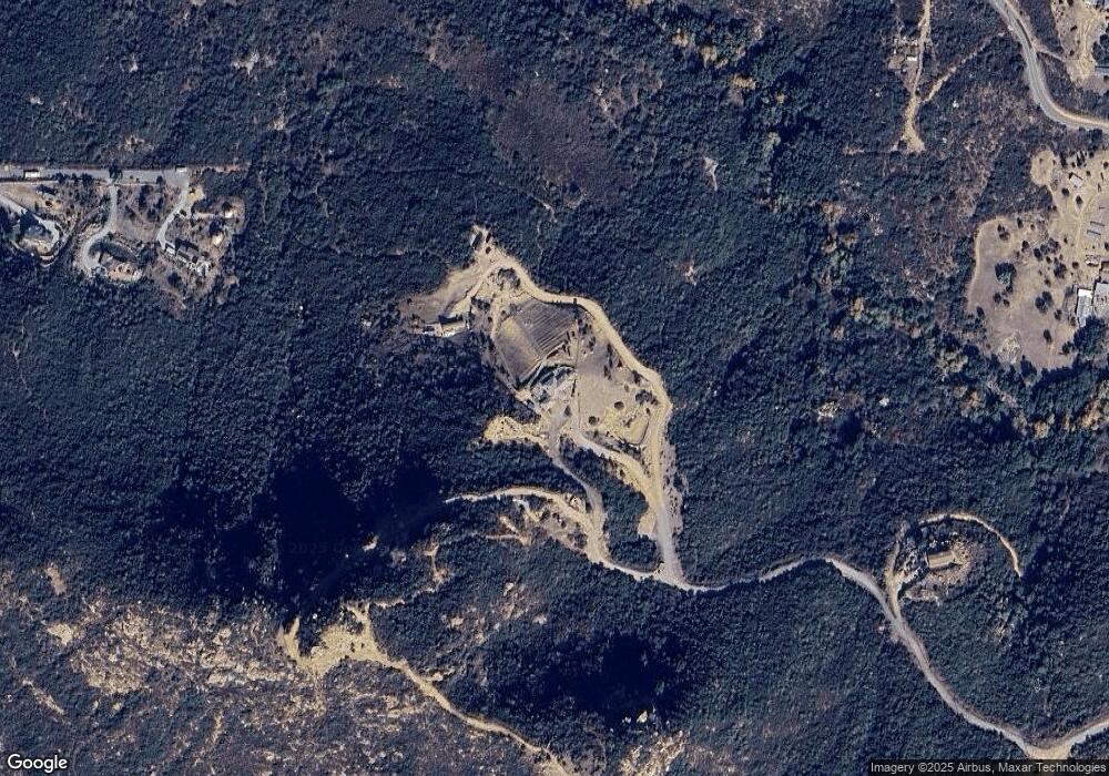
Map
Nearby Homes
- 0 Lawson Valley Rd Unit 2
- 0 Bunny Dr Unit Sec 26-16-2E Nwq Neq
- 0 Bunny Dr Unit Sec 26-16-2E Nwq Doc
- 4391 Montiel Truck Trail
- 3340 Skytrail Ranch Rd
- 17020 Skyline Truck Trail
- 17368 Skyline Truck Trail
- 0 Lawson Valley Unit PTP2600097
- 2413 ,2425 Oak Valley Trail
- 19191 High Glen Rd Unit 4
- 4826 Hidden Glen Dr
- 19150 High Glen Rd
- 15692 Lawson Valley Rd
- 4722 Park Ln
- 0000 High Glen Rd
- 15519 Skyline Truck Trail
- 2169 Corte Dorado Espuela Unit 29
- 2005 Corte Asoleado
- 0000 Sloane Canyon Rd Unit 2,3
- 0 Isla Vista Rd
- 4713 La Selva Rd
- 4713 La Selva Rd Unit 1
- 4729 La Selva Rd
- 17893 Lawson Valley Rd
- 17675 Lawson Valley Rd
- 4757 La Selva Rd
- 17543 Lawson Valley Rd
- 0 La Selva Rd Unit PTP2303627
- 0 La Selva Rd Unit 160036769
- 0 La Selva Rd Unit 200024079
- 17355 Lawson Valley Rd
- 17511 Lawson Valley Rd
- 17822 Lawson Valley Rd
- 000 La Selva Rd
- 17457 Lawson Valley Rd
- 3858 Rudnick Dr
- 17908 Mark Lee Dr
- 3808 Rudnick Dr
- 17762 Lawson Valley Rd
- 4824 La Selva Rd
Your Personal Tour Guide
Ask me questions while you tour the home.