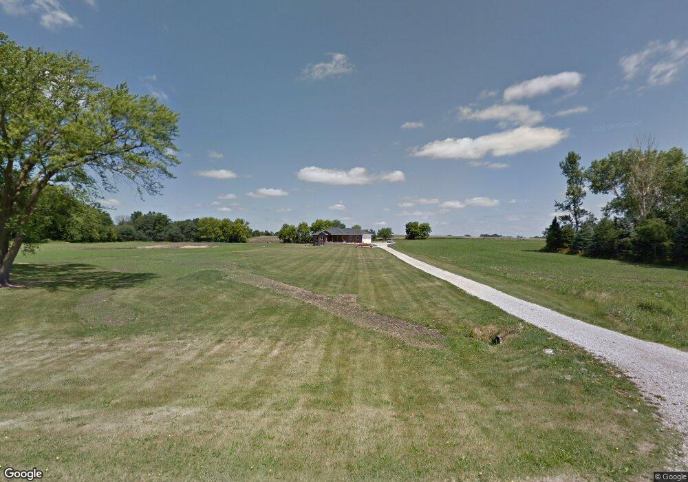
4391 Spencers Grove Rd Walker, IA 52352
Estimated Value: $239,000 - $472,709
5
Beds
5
Baths
1,679
Sq Ft
$204/Sq Ft
Est. Value
About This Home
This home is located at 4391 Spencers Grove Rd, Walker, IA 52352 and is currently estimated at $342,177, approximately $203 per square foot. 4391 Spencers Grove Rd is a home located in Linn County with nearby schools including North Linn Elementary School, North-Linn Middle School, and North-Linn Senior High School.
Ownership History
Date
Name
Owned For
Owner Type
Purchase Details
Closed on
Aug 4, 2006
Sold by
Kester William and Kester Julie
Bought by
Vanetten Joel and Vanetten Van Etten
Current Estimated Value
Home Financials for this Owner
Home Financials are based on the most recent Mortgage that was taken out on this home.
Original Mortgage
$240,000
Interest Rate
6.49%
Mortgage Type
Purchase Money Mortgage
Create a Home Valuation Report for This Property
The Home Valuation Report is an in-depth analysis detailing your home's value as well as a comparison with similar homes in the area
Home Values in the Area
Average Home Value in this Area
Purchase History
| Date | Buyer | Sale Price | Title Company |
|---|---|---|---|
| Vanetten Joel | $54,000 | None Available | |
| Kester William | -- | None Available |
Source: Public Records
Mortgage History
| Date | Status | Borrower | Loan Amount |
|---|---|---|---|
| Previous Owner | Vanetten Joel | $240,000 |
Source: Public Records
Tax History Compared to Growth
Tax History
| Year | Tax Paid | Tax Assessment Tax Assessment Total Assessment is a certain percentage of the fair market value that is determined by local assessors to be the total taxable value of land and additions on the property. | Land | Improvement |
|---|---|---|---|---|
| 2025 | $6,284 | $350,000 | $60,000 | $290,000 |
| 2024 | $5,574 | $382,500 | $60,000 | $322,500 |
| 2023 | $5,574 | $382,500 | $60,000 | $322,500 |
| 2022 | $5,442 | $307,200 | $60,000 | $247,200 |
| 2021 | $4,958 | $307,200 | $60,000 | $247,200 |
| 2020 | $4,958 | $326,600 | $60,000 | $266,600 |
| 2019 | $5,780 | $307,000 | $60,000 | $247,000 |
| 2018 | $4,574 | $307,000 | $60,000 | $247,000 |
| 2017 | $4,919 | $260,300 | $60,000 | $200,300 |
| 2016 | $4,919 | $260,300 | $60,000 | $200,300 |
| 2015 | $4,852 | $260,300 | $60,000 | $200,300 |
| 2014 | $4,852 | $260,300 | $60,000 | $200,300 |
| 2013 | $4,734 | $260,300 | $60,000 | $200,300 |
Source: Public Records
Map
Nearby Homes
- 302 Maple Ln
- 0 51st St Ln Unit 2508608
- 00 Stewart Ave
- 0 Stewart Ave
- 4617 Durow Rd
- 0 54th Street Trail
- 3054 Lucas Ave
- 0 31st Ave
- 103 North St
- 300 N Union Ave
- 3296 Union Ave
- 1 S Union Ave
- 5555 Troy Mills Rd
- 302 W Main St
- 101 South St
- 105 South St
- 2387 290th St
- 1010 Northview Dr
- 1109 Grubbs St
- 401 Brush Ave
- 4381 Spencers Grove Rd
- 4405 Spencers Grove Rd
- 4408 Spencers Grove Rd
- 4351 Spencers Grove Rd
- 4426 Spencers Grove Rd
- 4444 Spencers Grove Rd
- 318 Mill St
- 4370 Linn St
- 216 Grant St
- 104 Mill St
- 14 Mill St
- 26 Mill St
- 22 Mill St
- 106 Mill St
- 10 S Mill St
- 4462 Spencers Grove Rd
- 25 Mill St
- 17 Mill St
- 19 Mill St
- 15 Mill St