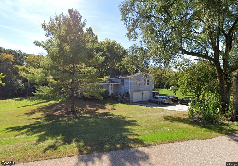
43W561 Kenmar Dr Elburn, IL 60119
Estimated Value: $422,176 - $524,000
4
Beds
2
Baths
1,668
Sq Ft
$294/Sq Ft
Est. Value
About This Home
This home is located at 43W561 Kenmar Dr, Elburn, IL 60119 and is currently estimated at $489,794, approximately $293 per square foot. 43W561 Kenmar Dr is a home located in Kane County with nearby schools including Kaneland Blackberry Creek Elementary School, Harter Middle School, and Kaneland Senior High School.
Create a Home Valuation Report for This Property
The Home Valuation Report is an in-depth analysis detailing your home's value as well as a comparison with similar homes in the area
Home Values in the Area
Average Home Value in this Area
Tax History Compared to Growth
Tax History
| Year | Tax Paid | Tax Assessment Tax Assessment Total Assessment is a certain percentage of the fair market value that is determined by local assessors to be the total taxable value of land and additions on the property. | Land | Improvement |
|---|---|---|---|---|
| 2024 | $9,308 | $124,018 | $18,937 | $105,081 |
| 2023 | $8,973 | $111,929 | $17,091 | $94,838 |
| 2022 | $8,199 | $98,025 | $15,686 | $82,339 |
| 2021 | $7,933 | $93,821 | $15,013 | $78,808 |
| 2020 | $7,799 | $91,622 | $14,661 | $76,961 |
| 2019 | $7,814 | $90,277 | $14,446 | $75,831 |
| 2018 | $6,837 | $78,232 | $14,446 | $63,786 |
| 2017 | $6,845 | $77,343 | $14,282 | $63,061 |
| 2016 | $6,997 | $76,785 | $19,171 | $57,614 |
| 2015 | -- | $74,326 | $18,423 | $55,903 |
| 2014 | -- | $67,850 | $20,500 | $47,350 |
| 2013 | -- | $67,850 | $20,500 | $47,350 |
Source: Public Records
Map
Nearby Homes
- 43W575 Kenmar Dr
- 43W580 Kenmar Dr
- LOT 90 Kenmar Dr
- 43W554 Kenmar Dr
- 43W542 Kenmar Dr
- 0S025 Rowe Rd
- 43W501 Kenmar Dr
- 7 Rowe Rd
- 43W510 Kenmar Dr
- 43W502 Kenmar Ct
- 0S097 Rowe Rd
- 0S090 Rowe Rd
- 0s030 Rowe Rd
- 0 Rowe Rd
- 43W480 Kenmar Dr
- 43W463 Kenmar Dr
- 43W547 Kenmar Ct
- 43W461 Kenmar Ct
- 43W675 Kenmar Dr
- 43W503 Kenmar Ct