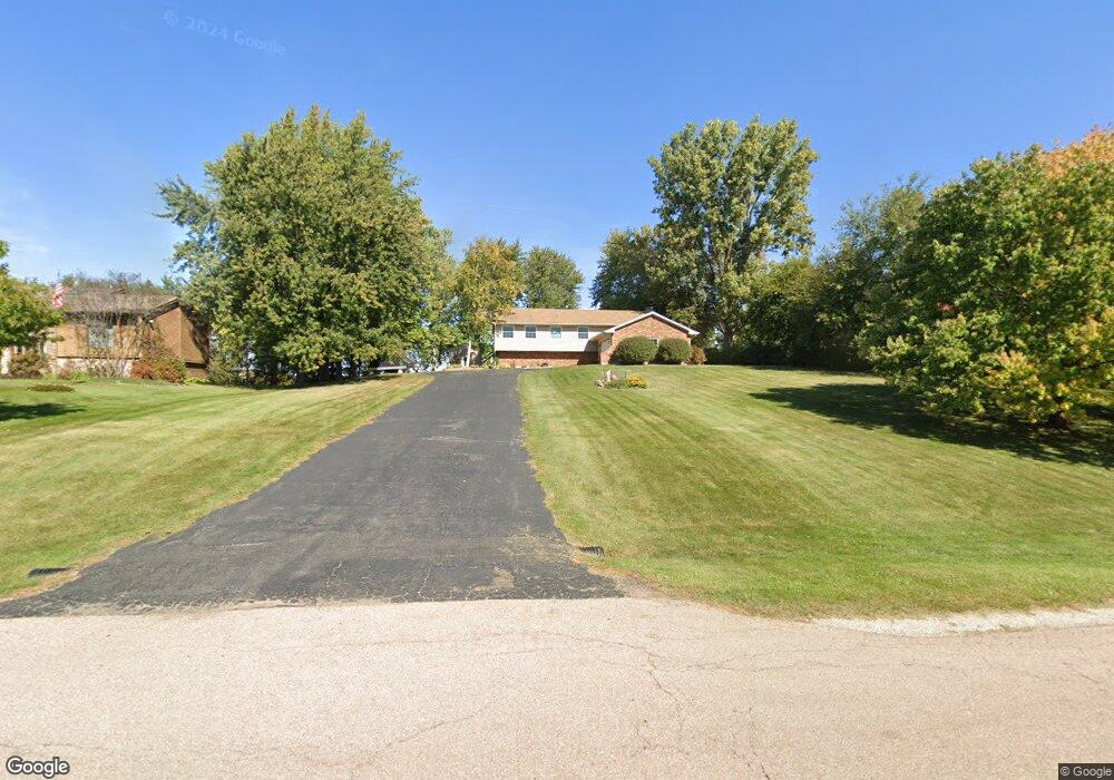
43W700 Kenmar Dr Elburn, IL 60119
Estimated Value: $416,767 - $522,000
3
Beds
3
Baths
1,638
Sq Ft
$289/Sq Ft
Est. Value
About This Home
This home is located at 43W700 Kenmar Dr, Elburn, IL 60119 and is currently estimated at $473,942, approximately $289 per square foot. 43W700 Kenmar Dr is a home located in Kane County with nearby schools including Kaneland Blackberry Creek Elementary School, Harter Middle School, and Kaneland Senior High School.
Ownership History
Date
Name
Owned For
Owner Type
Purchase Details
Closed on
May 9, 1997
Sold by
Lange Leroy B and Lange Julie A
Bought by
Webster David M and Webster Katherine M
Current Estimated Value
Home Financials for this Owner
Home Financials are based on the most recent Mortgage that was taken out on this home.
Original Mortgage
$156,800
Outstanding Balance
$21,979
Interest Rate
8.27%
Estimated Equity
$451,963
Create a Home Valuation Report for This Property
The Home Valuation Report is an in-depth analysis detailing your home's value as well as a comparison with similar homes in the area
Home Values in the Area
Average Home Value in this Area
Purchase History
| Date | Buyer | Sale Price | Title Company |
|---|---|---|---|
| Webster David M | $196,000 | Ticor Title Insurance |
Source: Public Records
Mortgage History
| Date | Status | Borrower | Loan Amount |
|---|---|---|---|
| Open | Webster David M | $156,800 |
Source: Public Records
Tax History Compared to Growth
Tax History
| Year | Tax Paid | Tax Assessment Tax Assessment Total Assessment is a certain percentage of the fair market value that is determined by local assessors to be the total taxable value of land and additions on the property. | Land | Improvement |
|---|---|---|---|---|
| 2024 | $9,632 | $128,063 | $20,245 | $107,818 |
| 2023 | $9,288 | $115,581 | $18,272 | $97,309 |
| 2022 | $8,334 | $99,538 | $16,769 | $82,769 |
| 2021 | $8,064 | $95,270 | $16,050 | $79,220 |
| 2020 | $7,928 | $93,037 | $15,674 | $77,363 |
| 2019 | $7,943 | $91,671 | $15,444 | $76,227 |
| 2018 | $7,347 | $83,620 | $15,444 | $68,176 |
| 2017 | $7,356 | $82,669 | $15,268 | $67,401 |
| 2016 | $7,051 | $77,333 | $19,171 | $58,162 |
| 2015 | -- | $75,123 | $18,423 | $56,700 |
| 2014 | -- | $70,037 | $20,500 | $49,537 |
| 2013 | -- | $70,037 | $20,500 | $49,537 |
Source: Public Records
Map
Nearby Homes
- 43W674 Kenmar Dr
- 43W726 Kenmar Dr
- 43W754 Kenmar Dr
- 43W675 Kenmar Dr
- 43W723 Kenmar Dr
- 0s030 Rowe Rd
- 0 Rowe Rd
- 43W747 Kenmar Dr
- 0S090 Rowe Rd
- 43W771 Kenmar Dr
- 7 Rowe Rd
- 43W785 Kenmar Dr
- 0S025 Rowe Rd
- 0S156 Rowe Rd
- 43W821 Kenmar Dr
- 43W575 Kenmar Dr
- 0S097 Rowe Rd
- 0S123 Rowe Rd
- 43W580 Kenmar Dr
- 43W835 Kenmar Dr Unit 1