44 Acres Lowery Rd 44 Acres Morganton, GA 30560
Estimated Value: $561,924 - $619,000
--
Bed
1
Bath
4,244
Sq Ft
$139/Sq Ft
Est. Value
About This Home
This home is located at 44 Acres Lowery Rd 44 Acres, Morganton, GA 30560 and is currently estimated at $590,462, approximately $139 per square foot. 44 Acres Lowery Rd 44 Acres is a home located in Fannin County with nearby schools including Fannin County High School.
Ownership History
Date
Name
Owned For
Owner Type
Purchase Details
Closed on
Jun 14, 2024
Sold by
Sutherland Christina
Bought by
Deardorff Jeffrey Douglas
Current Estimated Value
Purchase Details
Closed on
May 27, 2022
Sold by
Sutherland James
Bought by
The R4 Grp Llc
Purchase Details
Closed on
Dec 8, 2021
Sold by
Dewar Jane T R
Bought by
Sutherland James and Sutherland Christina
Purchase Details
Closed on
Apr 8, 2016
Sold by
Rasmussen Dewar Jane T
Bought by
Chimps
Purchase Details
Closed on
Apr 15, 2013
Sold by
Dewar C E Steuart
Bought by
Dewar Jane T R
Purchase Details
Closed on
Mar 11, 2013
Sold by
Rasmussen Dewar Jane T
Bought by
Dewar C E and Dewar Steuart
Purchase Details
Closed on
Dec 30, 1996
Sold by
Lemer Richard C
Bought by
Dewar C E Stewart
Create a Home Valuation Report for This Property
The Home Valuation Report is an in-depth analysis detailing your home's value as well as a comparison with similar homes in the area
Home Values in the Area
Average Home Value in this Area
Purchase History
| Date | Buyer | Sale Price | Title Company |
|---|---|---|---|
| Deardorff Jeffrey Douglas | $539,900 | -- | |
| Deardorff Jeffrey Douglas | $539,900 | -- | |
| The R4 Grp Llc | $201,250 | -- | |
| The R4 Grp Llc | $201,250 | -- | |
| Sutherland James | $315,000 | -- | |
| Sutherland James | $315,000 | -- | |
| Chimps | $525,000 | -- | |
| Chimps | $525,000 | -- | |
| Dewar Jane T R | -- | -- | |
| Dewar Jane T R | -- | -- | |
| Dewar C E | -- | -- | |
| Dewar C E | -- | -- | |
| Dewar C E Stewart | $686,900 | -- | |
| Dewar C E Stewart | $686,900 | -- |
Source: Public Records
Tax History Compared to Growth
Tax History
| Year | Tax Paid | Tax Assessment Tax Assessment Total Assessment is a certain percentage of the fair market value that is determined by local assessors to be the total taxable value of land and additions on the property. | Land | Improvement |
|---|---|---|---|---|
| 2024 | $1,020 | $111,316 | $111,316 | $0 |
| 2023 | $1,135 | $111,316 | $111,316 | $0 |
| 2022 | $1,219 | $119,544 | $119,544 | $0 |
| 2021 | $1,124 | $80,165 | $80,165 | $0 |
| 2020 | $1,143 | $80,165 | $80,165 | $0 |
| 2019 | $1,165 | $80,165 | $80,165 | $0 |
| 2018 | $1,235 | $80,165 | $80,165 | $0 |
| 2017 | $1,418 | $80,165 | $80,165 | $0 |
| 2016 | $1,449 | $173,510 | $126,522 | $46,988 |
| 2015 | $1,929 | $174,597 | $126,522 | $48,074 |
| 2014 | $1,994 | $295,262 | $239,287 | $55,974 |
Source: Public Records
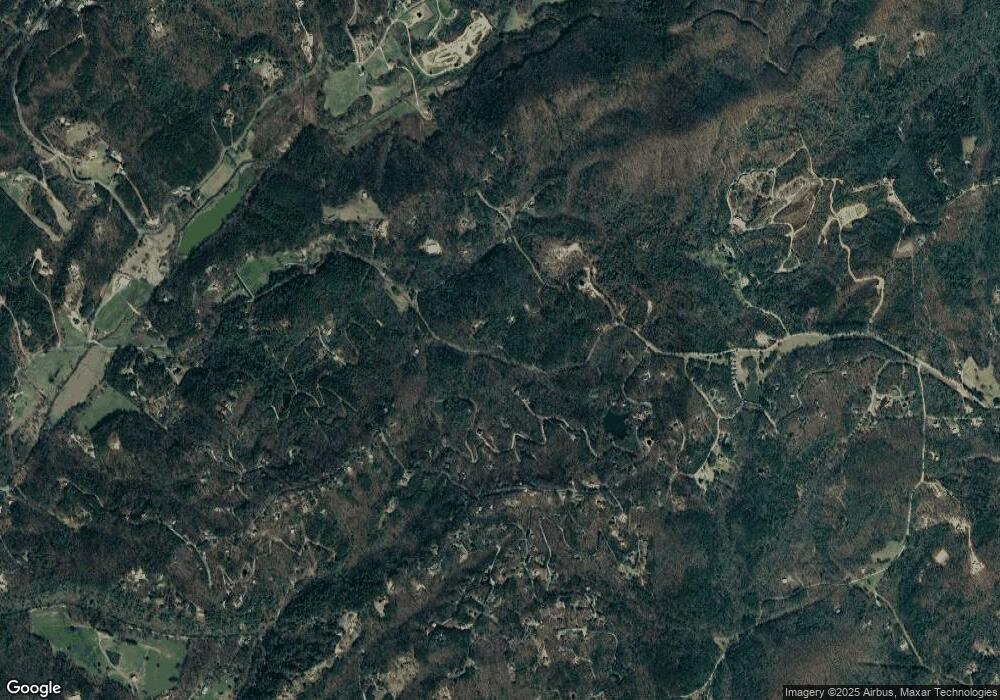
Map
Nearby Homes
- 419 Blue Ridge Trail
- 91 Blue Grass Hollow
- Lot 133 Ridges of Blue Ridge
- 419 Blue Ridge Trails
- 136 Mountain Meadows Cir
- 34 Mountain Lookout
- LT 133 Ridges of Blue Ridge
- 240 Rolling Hill
- 138 Laurel Ridge
- 335 Meadowoods Dr
- 55 Trails End Ln
- 99 Blue Cloud Trail
- 105 Snowy Rd
- 1600 My Mountain Rd
- 34 Smokey Ridge Ln
- 327 Dancing Trees Trail
- 00 Lowery Rd
- 50 AC Lowery Rd
- 5 AC Lowery Rd
- 50 Acres Lowery Rd Unit 50 ac
- 50 Acres Lowery Rd
- 0 Lowery Rd
- 44 ACRES Lowery Rd Unit 44 ACRES
- 1239 Lowery Rd
- 1233 Lowery Rd
- 0 My Mountain Rd Unit 1.8AC 8357858
- 0 My Mountain Rd Unit 1.8AC 8055438
- 0 My Mountain Rd Unit 135568
- 0 My Mountain Rd Unit 118633
- 0 My Mountain Rd Unit 7182981
- 0 My Mountain Rd Unit LOTS 2 & 3 20007623
- 0 My Mountain Rd Unit 9044468
- 0 My Mountain Rd Unit 1.4 AC 8736873
- 0 My Mountain Rd Unit 8763272
- 0 My Mountain Rd Unit 1.8AC 8202518
- 0 My Mountain Rd Unit 8839521