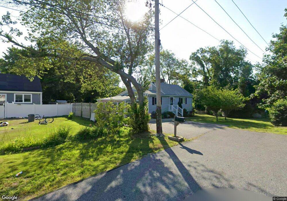
44 Allan St Marshfield, MA 02050
Ocean Bluff-Brant Rock NeighborhoodEstimated Value: $548,000 - $605,000
3
Beds
2
Baths
1,338
Sq Ft
$434/Sq Ft
Est. Value
About This Home
This home is located at 44 Allan St, Marshfield, MA 02050 and is currently estimated at $580,080, approximately $433 per square foot. 44 Allan St is a home located in Plymouth County with nearby schools including Governor Edward Winslow School, Furnace Brook Middle School, and Marshfield High School.
Create a Home Valuation Report for This Property
The Home Valuation Report is an in-depth analysis detailing your home's value as well as a comparison with similar homes in the area
Home Values in the Area
Average Home Value in this Area
Tax History
| Year | Tax Paid | Tax Assessment Tax Assessment Total Assessment is a certain percentage of the fair market value that is determined by local assessors to be the total taxable value of land and additions on the property. | Land | Improvement |
|---|---|---|---|---|
| 2025 | $4,935 | $498,500 | $318,800 | $179,700 |
| 2024 | $4,877 | $469,400 | $298,900 | $170,500 |
| 2023 | $4,675 | $409,700 | $269,000 | $140,700 |
| 2022 | $4,675 | $361,000 | $229,100 | $131,900 |
| 2021 | $4,454 | $337,700 | $219,200 | $118,500 |
| 2020 | $4,014 | $301,100 | $189,300 | $111,800 |
| 2019 | $3,940 | $294,500 | $189,300 | $105,200 |
| 2018 | $3,937 | $294,500 | $189,300 | $105,200 |
| 2017 | $3,710 | $270,400 | $179,300 | $91,100 |
| 2016 | $3,616 | $260,500 | $169,400 | $91,100 |
| 2015 | $3,317 | $249,600 | $169,400 | $80,200 |
| 2014 | $3,317 | $249,600 | $169,400 | $80,200 |
Source: Public Records
Map
Nearby Homes
- 122 June St
- 78 Tower Ave
- 17 Dyke Rd
- 106 Careswell St
- 116 Island St
- 32 Gratto Rd
- 71 Gurnet Rd
- 85 Constitution Rd
- 116 Outlook Rd
- 30 Chandler Dr
- 86 Barouche Dr
- 42 Carr Rd
- 155 Quincy Ave
- 7 Pierce Rd
- 92 Salt Meadow Waye
- 184 King Phillips Pathe
- 242 Enterprise St
- 431 Moraine St
- 290 S River St
- 387 Lot 2A Old Cove Rd
Your Personal Tour Guide
Ask me questions while you tour the home.