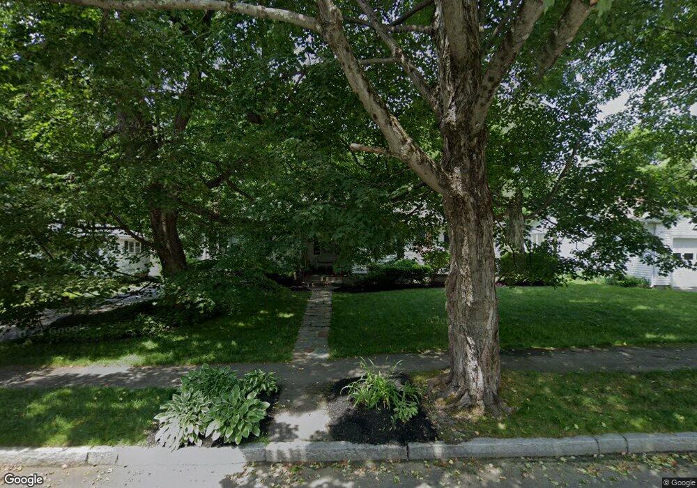
44 Ashmore Rd Worcester, MA 01602
Tatnuck NeighborhoodEstimated Value: $399,000 - $446,978
3
Beds
1
Bath
1,242
Sq Ft
$344/Sq Ft
Est. Value
About This Home
This home is located at 44 Ashmore Rd, Worcester, MA 01602 and is currently estimated at $427,245, approximately $343 per square foot. 44 Ashmore Rd is a home located in Worcester County with nearby schools including Tatnuck Magnet School, Chandler Magnet, and Jacob Hiatt Magnet School.
Create a Home Valuation Report for This Property
The Home Valuation Report is an in-depth analysis detailing your home's value as well as a comparison with similar homes in the area
Home Values in the Area
Average Home Value in this Area
Tax History Compared to Growth
Tax History
| Year | Tax Paid | Tax Assessment Tax Assessment Total Assessment is a certain percentage of the fair market value that is determined by local assessors to be the total taxable value of land and additions on the property. | Land | Improvement |
|---|---|---|---|---|
| 2025 | $5,165 | $391,600 | $118,700 | $272,900 |
| 2024 | $5,148 | $374,400 | $118,700 | $255,700 |
| 2023 | $4,993 | $348,200 | $103,200 | $245,000 |
| 2022 | $4,452 | $292,700 | $82,600 | $210,100 |
| 2021 | $4,394 | $269,900 | $66,100 | $203,800 |
| 2020 | $4,225 | $248,500 | $66,100 | $182,400 |
| 2019 | $3,989 | $221,600 | $59,500 | $162,100 |
| 2018 | $3,873 | $204,800 | $59,500 | $145,300 |
| 2017 | $3,936 | $204,800 | $59,500 | $145,300 |
| 2016 | $3,877 | $188,100 | $43,700 | $144,400 |
| 2015 | $3,775 | $188,100 | $43,700 | $144,400 |
| 2014 | $3,675 | $188,100 | $43,700 | $144,400 |
Source: Public Records
Map
Nearby Homes
- 20 Manhattan Rd
- 980 Pleasant St
- 563 Chandler St
- 6 Moore Ave
- 1029 Pleasant St Unit 19
- 40 Rustic Dr
- 19 Kenilworth Rd
- 23 Fenton Dr
- 12 Copperfield Rd
- 806 Pleasant St
- 9 Field Way
- 47R Yarnie Unit 3B
- 47R Yarnie Unit 3A
- 47R Yarnie Unit 1B
- 47R Yarnie Unit 2B
- 47R Yarnie Unit 4B
- 47R Yarnie Unit 8B
- 47R Yarnie Unit 5A
- 47R Yarnie Unit 6B
- 47R Yarnie Unit 4A