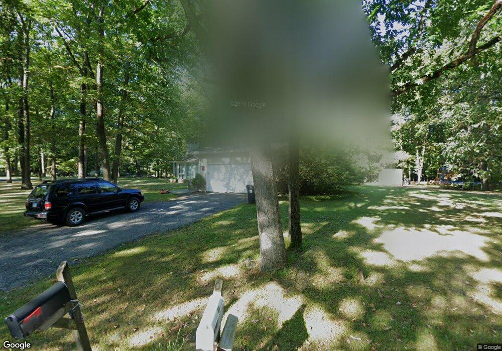
44 Aunt Hack Rd Danbury, CT 06811
Estimated Value: $420,000 - $639,000
3
Beds
3
Baths
1,600
Sq Ft
$332/Sq Ft
Est. Value
About This Home
Property Id: 52295
CLEAN, FRESHLY PAINTED 3 BEDROOM 2 BATH HOME IN UPSCALE NEIGHBORHOOD. LEVEL ACRE, 2 CAR GARAGE, CENTRAL AIR, DECK. CLOSE TO HIGHWAY, GOLF COURSE AND COMM. POOL. $3,000 MONTH.
Ownership History
Date
Name
Owned For
Owner Type
Purchase Details
Closed on
Jul 25, 2003
Sold by
Scott William
Bought by
Asmar William and Asmar Hiam
Current Estimated Value
Create a Home Valuation Report for This Property
The Home Valuation Report is an in-depth analysis detailing your home's value as well as a comparison with similar homes in the area
Home Values in the Area
Average Home Value in this Area
Purchase History
| Date | Buyer | Sale Price | Title Company |
|---|---|---|---|
| Asmar William | $270,000 | -- |
Source: Public Records
Mortgage History
| Date | Status | Borrower | Loan Amount |
|---|---|---|---|
| Open | Asmar William | $202,500 |
Source: Public Records
Property History
| Date | Event | Price | List to Sale | Price per Sq Ft |
|---|---|---|---|---|
| 07/17/2025 07/17/25 | Off Market | $3,000 | -- | -- |
| 07/03/2025 07/03/25 | For Rent | $3,000 | -- | -- |
Tax History
| Year | Tax Paid | Tax Assessment Tax Assessment Total Assessment is a certain percentage of the fair market value that is determined by local assessors to be the total taxable value of land and additions on the property. | Land | Improvement |
|---|---|---|---|---|
| 2025 | $7,634 | $305,480 | $109,480 | $196,000 |
| 2024 | $7,466 | $305,480 | $109,480 | $196,000 |
| 2023 | $7,127 | $305,480 | $109,480 | $196,000 |
| 2022 | $6,536 | $231,600 | $109,600 | $122,000 |
| 2021 | $23,986 | $231,600 | $109,600 | $122,000 |
| 2020 | $6,392 | $231,600 | $109,600 | $122,000 |
| 2019 | $6,392 | $231,600 | $109,600 | $122,000 |
| 2018 | $6,392 | $231,600 | $109,600 | $122,000 |
| 2017 | $2,742 | $208,200 | $104,400 | $103,800 |
| 2016 | $5,971 | $208,200 | $104,400 | $103,800 |
| 2015 | $5,884 | $208,200 | $104,400 | $103,800 |
| 2014 | $5,746 | $208,200 | $104,400 | $103,800 |
Source: Public Records
Map
Nearby Homes
- 15 Lindencrest Dr
- 15 Driftway Point Rd
- 34 Lindencrest Dr
- 6 Joes Hill Rd
- 85 Winding Ridge Way Unit 85
- 40 Middle River Rd
- 31 Greenlawn Dr
- 22 Driftway Rd
- 55 Mill Plain Rd Unit 19-3
- 55 Mill Plain Rd Unit 17-6
- 2 Greenlawn Dr
- 503 Center Meadow Ln Unit 503
- 184 Warrington Round Unit 184
- 187-189 Middle River Rd
- 15 Lockwood Dr
- 9 Lockwood Dr
- 9 Lockwood Dr Unit Lot 48
- 13 Mercy St Unit 13
- 7 Lockwood Dr Unit Lot 47
- 7 Lockwood Dr
- 46 Aunt Hack Rd
- 45 Aunt Hack Rd
- 47 Aunt Hack Rd
- 42 Aunt Hack Rd
- 48 Aunt Hack Rd
- 43 Aunt Hack Rd
- 49 Aunt Hack Rd
- 1 Maplecrest Dr
- 1A Maplecrest Dr
- 50 Aunt Hack Rd
- 40 Aunt Hack Rd
- 17 Lindencrest Dr
- 4 Maplecrest Dr
- 4A Maplecrest Dr
- 2 Maplewood Dr
- 3 Maplecrest Dr
- 41 Aunt Hack Rd
- 13 Lindencrest Dr
- 51 Aunt Hack Rd
- 6 Tanglewood Dr
Your Personal Tour Guide
Ask me questions while you tour the home.