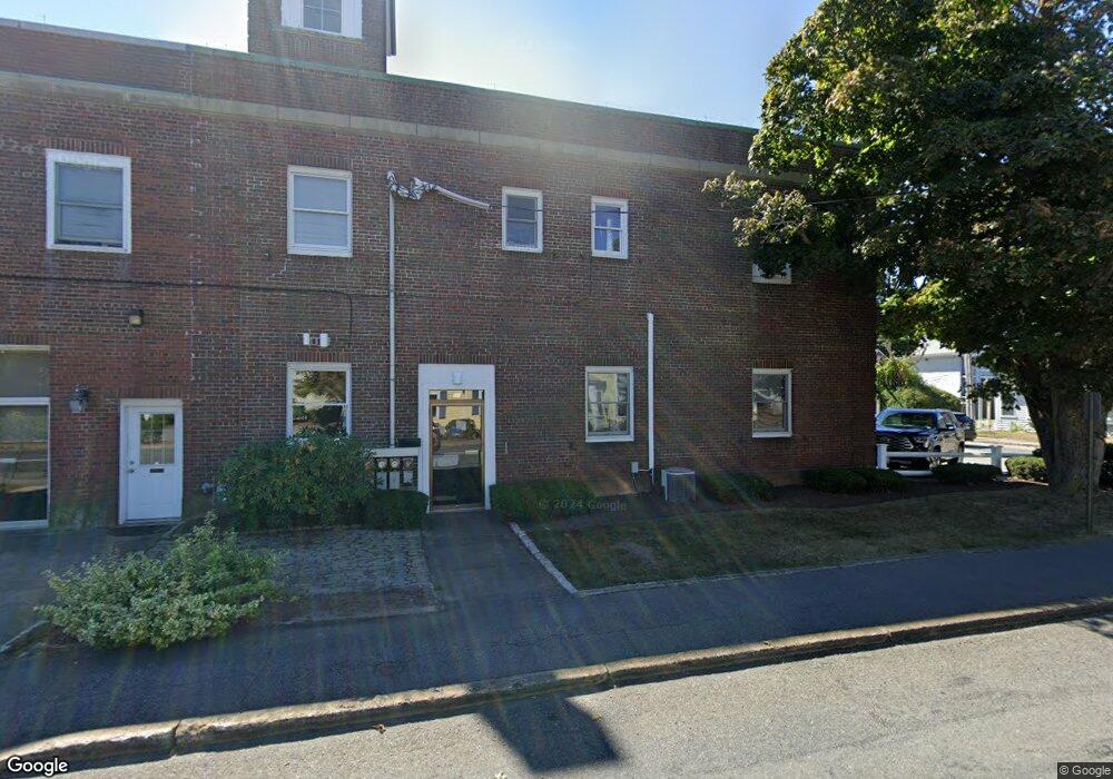
44 Barnstable Rd Hyannis, MA 2601
Estimated Value: $1,090,962
Studio
--
Bath
6,544
Sq Ft
$167/Sq Ft
Est. Value
About This Home
This home is located at 44 Barnstable Rd, Hyannis, MA 2601 and is currently estimated at $1,090,962, approximately $166 per square foot. 44 Barnstable Rd is a home located in Barnstable County with nearby schools including Hyannis West Elementary School, Barnstable United Elementary School, and Barnstable Intermediate School.
Ownership History
Date
Name
Owned For
Owner Type
Purchase Details
Closed on
Jan 2, 2020
Sold by
Horgan Rt
Bought by
Horgan Lt
Current Estimated Value
Purchase Details
Closed on
Jul 3, 2001
Sold by
James Daniel E
Bought by
Horgan Rt
Home Financials for this Owner
Home Financials are based on the most recent Mortgage that was taken out on this home.
Original Mortgage
$210,000
Interest Rate
7.14%
Mortgage Type
Purchase Money Mortgage
Create a Home Valuation Report for This Property
The Home Valuation Report is an in-depth analysis detailing your home's value as well as a comparison with similar homes in the area
Home Values in the Area
Average Home Value in this Area
Purchase History
| Date | Buyer | Sale Price | Title Company |
|---|---|---|---|
| Horgan Lt | -- | None Available | |
| Horgan Rt | $337,500 | -- | |
| Horgan Rt | $337,500 | -- |
Source: Public Records
Mortgage History
| Date | Status | Borrower | Loan Amount |
|---|---|---|---|
| Previous Owner | Horgan Rt | $210,000 | |
| Closed | Horgan Rt | $130,000 |
Source: Public Records
Tax History
| Year | Tax Paid | Tax Assessment Tax Assessment Total Assessment is a certain percentage of the fair market value that is determined by local assessors to be the total taxable value of land and additions on the property. | Land | Improvement |
|---|---|---|---|---|
| 2025 | $9,684 | $985,100 | $199,600 | $785,500 |
| 2024 | $9,540 | $978,500 | $199,600 | $778,900 |
| 2023 | $10,284 | $978,500 | $199,600 | $778,900 |
| 2022 | $11,013 | $860,400 | $199,600 | $660,800 |
| 2021 | $10,908 | $852,200 | $199,600 | $652,600 |
| 2020 | $9,328 | $708,800 | $172,100 | $536,700 |
| 2019 | $9,578 | $709,500 | $172,100 | $537,400 |
| 2018 | $9,053 | $696,400 | $172,100 | $524,300 |
| 2017 | $8,596 | $683,300 | $172,100 | $511,200 |
| 2016 | $8,391 | $683,300 | $172,100 | $511,200 |
| 2015 | $7,788 | $649,000 | $165,300 | $483,700 |
Source: Public Records
Map
Nearby Homes
- 68 Center St Unit 13
- 55 Louis St
- 35 Pleasant St
- 72 Grove St
- 115 School St Unit W206
- 110 School St Unit E113
- 97 Bassett Ln
- 22 Terry Ct
- 83 Main St
- 252 Hinckley Rd
- 287 Ocean St Unit C2
- 287 Ocean St Unit 2 BLDG C
- 138 Chase St
- 25 Ripple Cove Rd
- 8 Jasmine Ln
- 78 Bristol Ave
- 125 Sea St
- 49 Snow Creek Dr
- 10 Hiramar Rd Unit 10-12
- 10-12 Hiramar
- 44 Barnstable Rd Unit 2nd fl
- 44 Barnstable Rd Unit 44
- 44 Barnstable Rd Unit 44
- 44 Barnstable Rd
- 49 Elm Ave
- 28 Barnstable Rd
- 28 Barnstable Rd
- 37 Barnstable Rd
- 56 Barnstable Rd
- 37 Barnstable Rd
- 45 Barnstable Rd
- 26 Barnstable Rd
- 8 North St
- 51 Barnstable Rd
- 320 Main St
- 66 Barnstable Rd
- 61 Barnstable Rd
- 30 Elm Ave Unit A3
- 30 Elm Ave Unit B4
- 30 Elm Ave
Your Personal Tour Guide
Ask me questions while you tour the home.