44 Brinker Dr Doylestown, PA 18901
Estimated Value: $830,368 - $987,000
4
Beds
3
Baths
2,532
Sq Ft
$351/Sq Ft
Est. Value
About This Home
This home is located at 44 Brinker Dr, Doylestown, PA 18901 and is currently estimated at $887,842, approximately $350 per square foot. 44 Brinker Dr is a home located in Bucks County with nearby schools including Mill Creek Elementary School, Unami Middle School, and Central Bucks High School - South.
Ownership History
Date
Name
Owned For
Owner Type
Purchase Details
Closed on
May 21, 2010
Sold by
Trompisz Wayne and Trompisz Sharon
Bought by
Henry Cynthia B and Henry George M
Current Estimated Value
Home Financials for this Owner
Home Financials are based on the most recent Mortgage that was taken out on this home.
Original Mortgage
$353,000
Outstanding Balance
$237,412
Interest Rate
5.12%
Mortgage Type
New Conventional
Estimated Equity
$650,430
Purchase Details
Closed on
Mar 8, 2002
Sold by
Ashby Mark S and Ashby Wendy I
Bought by
Trompisz Wayne and Trompisz Sharon
Home Financials for this Owner
Home Financials are based on the most recent Mortgage that was taken out on this home.
Original Mortgage
$268,000
Interest Rate
7.04%
Purchase Details
Closed on
Dec 21, 1995
Sold by
Doylestown Knoll Associates Lp
Bought by
Ashby Mark S and Ashby Wendy J
Home Financials for this Owner
Home Financials are based on the most recent Mortgage that was taken out on this home.
Original Mortgage
$203,150
Interest Rate
7.13%
Mortgage Type
VA
Create a Home Valuation Report for This Property
The Home Valuation Report is an in-depth analysis detailing your home's value as well as a comparison with similar homes in the area
Home Values in the Area
Average Home Value in this Area
Purchase History
| Date | Buyer | Sale Price | Title Company |
|---|---|---|---|
| Henry Cynthia B | $468,000 | None Available | |
| Trompisz Wayne | $335,000 | -- | |
| Ashby Mark S | $212,225 | -- |
Source: Public Records
Mortgage History
| Date | Status | Borrower | Loan Amount |
|---|---|---|---|
| Open | Henry Cynthia B | $353,000 | |
| Previous Owner | Trompisz Wayne | $268,000 | |
| Previous Owner | Ashby Mark S | $203,150 |
Source: Public Records
Tax History
| Year | Tax Paid | Tax Assessment Tax Assessment Total Assessment is a certain percentage of the fair market value that is determined by local assessors to be the total taxable value of land and additions on the property. | Land | Improvement |
|---|---|---|---|---|
| 2025 | $7,482 | $42,280 | $6,520 | $35,760 |
| 2024 | $7,482 | $42,280 | $6,520 | $35,760 |
| 2023 | $7,134 | $42,280 | $6,520 | $35,760 |
| 2022 | $7,055 | $42,280 | $6,520 | $35,760 |
| 2021 | $6,910 | $42,280 | $6,520 | $35,760 |
| 2020 | $6,878 | $42,280 | $6,520 | $35,760 |
| 2019 | $6,804 | $42,280 | $6,520 | $35,760 |
| 2018 | $6,783 | $42,280 | $6,520 | $35,760 |
| 2017 | $6,730 | $42,280 | $6,520 | $35,760 |
| 2016 | $6,688 | $42,280 | $6,520 | $35,760 |
| 2015 | -- | $42,280 | $6,520 | $35,760 |
| 2014 | -- | $42,280 | $6,520 | $35,760 |
Source: Public Records
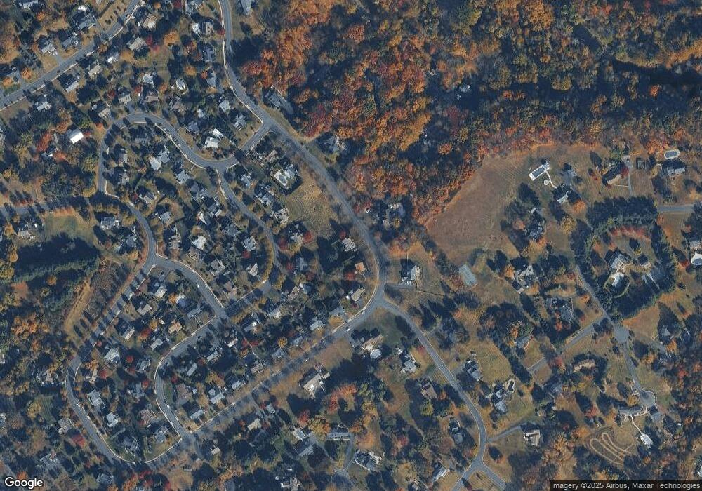
Map
Nearby Homes
- 44 Buck Rd
- 28 Brinker Dr
- 168 Shady Brook Cir
- 60 Pebble Ridge Rd
- 11 Tradesville Dr
- 49 Tradesville Dr
- 3159 Bristol Rd
- 72 Bittersweet Dr
- 588 Almshouse Rd
- 23 Mill Creek Dr
- 612 Bethel Ln Unit THE ROOSEVELT PLAN
- 137 Wells Rd
- 3421 Pin Oak Ln
- 242 Snapdragon St
- 930 Red Coat Farm Dr
- 3632 Bristol Rd
- 60 Quarry Rd
- 981 Scarlet Oak Dr
- 14 Addison Ct Unit 2504
- 969 Lower State Rd
Your Personal Tour Guide
Ask me questions while you tour the home.