Estimated Value: $354,689 - $593,000
--
Bed
--
Bath
1,560
Sq Ft
$333/Sq Ft
Est. Value
About This Home
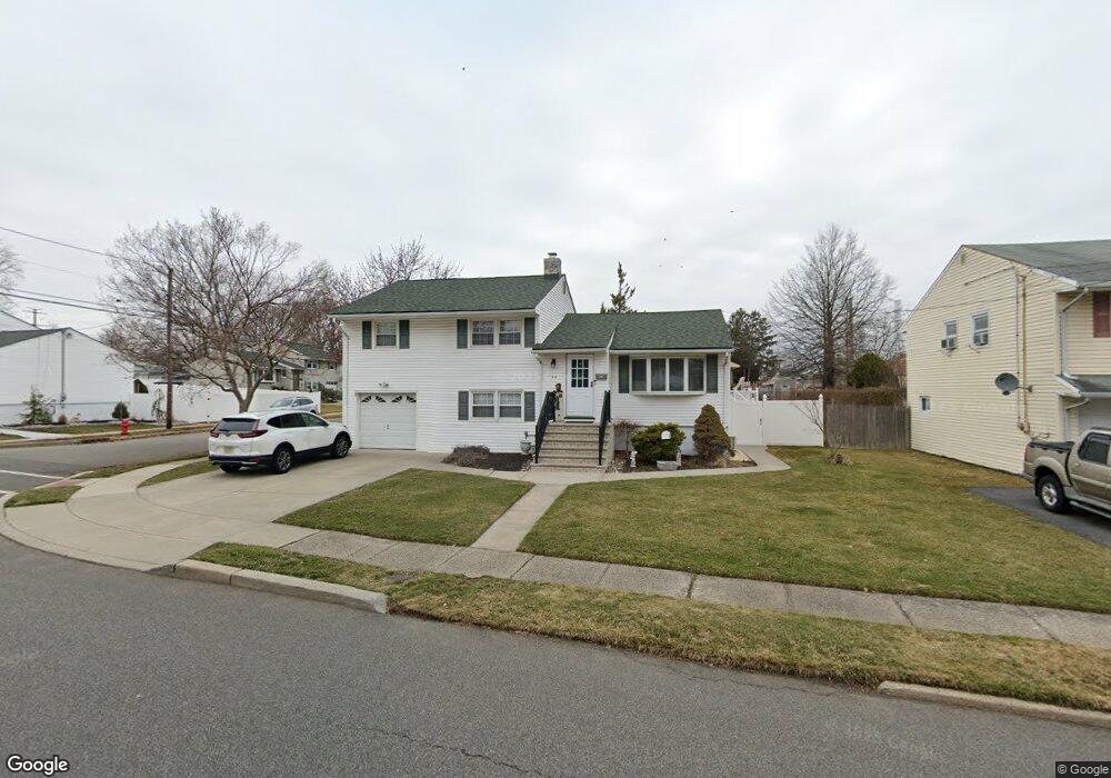
This home is located at 44 Burnham Dr, Fords, NJ 08863 and is currently estimated at $518,922, approximately $332 per square foot. 44 Burnham Dr is a home located in Middlesex County with nearby schools including Lafayette Estates School #25, Fords Middle School, and Woodbridge High School.
Ownership History
Date
Name
Owned For
Owner Type
Purchase Details
Closed on
Jul 6, 1999
Sold by
Downes Thomas
Bought by
Boland Thomas and Boland Patricia
Current Estimated Value
Home Financials for this Owner
Home Financials are based on the most recent Mortgage that was taken out on this home.
Original Mortgage
$156,000
Outstanding Balance
$43,870
Interest Rate
7.61%
Estimated Equity
$475,052
Purchase Details
Closed on
May 12, 1994
Sold by
Steinberg Herbert
Bought by
Downs Thomas and Schneider Ellen
Home Financials for this Owner
Home Financials are based on the most recent Mortgage that was taken out on this home.
Original Mortgage
$147,000
Interest Rate
7.93%
Create a Home Valuation Report for This Property
The Home Valuation Report is an in-depth analysis detailing your home's value as well as a comparison with similar homes in the area
Home Values in the Area
Average Home Value in this Area
Purchase History
| Date | Buyer | Sale Price | Title Company |
|---|---|---|---|
| Boland Thomas | $168,000 | -- | |
| Downs Thomas | $158,000 | -- |
Source: Public Records
Mortgage History
| Date | Status | Borrower | Loan Amount |
|---|---|---|---|
| Open | Boland Thomas | $156,000 | |
| Previous Owner | Downs Thomas | $147,000 |
Source: Public Records
Tax History Compared to Growth
Tax History
| Year | Tax Paid | Tax Assessment Tax Assessment Total Assessment is a certain percentage of the fair market value that is determined by local assessors to be the total taxable value of land and additions on the property. | Land | Improvement |
|---|---|---|---|---|
| 2025 | $9,862 | $78,100 | $23,400 | $54,700 |
| 2024 | $9,574 | $78,100 | $23,400 | $54,700 |
| 2023 | $9,574 | $78,100 | $23,400 | $54,700 |
| 2022 | $9,317 | $78,100 | $23,400 | $54,700 |
| 2021 | $9,220 | $78,100 | $23,400 | $54,700 |
| 2020 | $8,841 | $77,400 | $23,400 | $54,000 |
| 2019 | $8,613 | $77,400 | $23,400 | $54,000 |
| 2018 | $8,443 | $77,400 | $23,400 | $54,000 |
| 2017 | $8,112 | $75,700 | $23,400 | $52,300 |
| 2016 | $8,045 | $75,700 | $23,400 | $52,300 |
| 2015 | $7,889 | $75,700 | $23,400 | $52,300 |
| 2014 | $7,717 | $75,700 | $23,400 | $52,300 |
Source: Public Records
Map
Nearby Homes
- 537 Ford Ave
- 59 Hearthstone Ave
- 128 Burnham Dr
- 29 Highland Terrace
- 55 Murdock St
- 149 Ethel St
- 110 Sheppard Place
- 62 Harmon Rd
- 14 Jefferson St
- 108 Jefferson St
- 30 Judson St Unit 8B
- 47 Judson St Unit 14B
- 47 Judson St Unit 16B
- 32 Judson St Unit 10-A
- 206 Arlington Dr
- 204 Marlin Dr
- 199 Evergreen Rd Unit 14A
- 199 Evergreen Rd Unit 8A
- 199 Evergreen Rd Unit 5B
- 250 Ford Ave