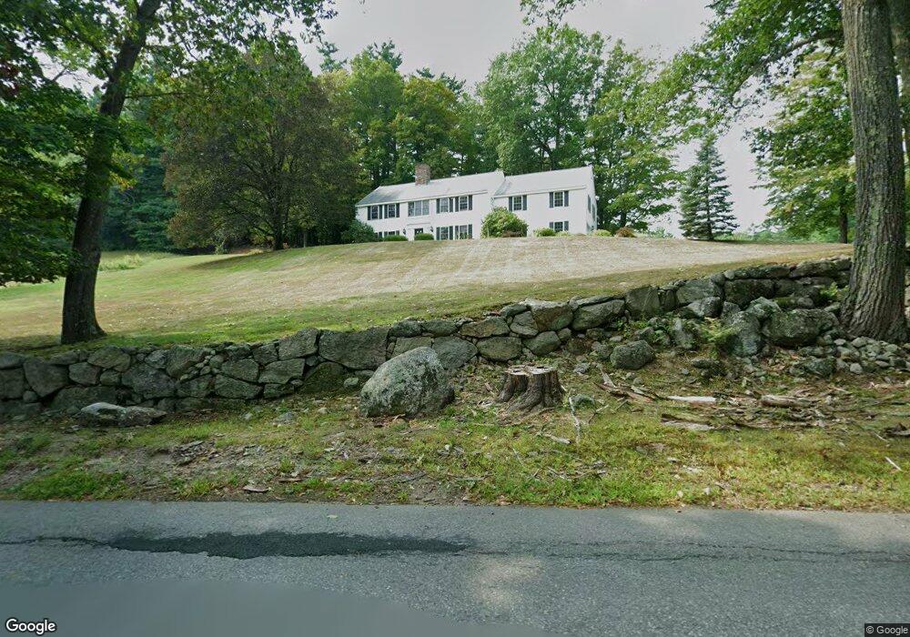
44 Christian Hill Rd Unit 5/106/0 & 5/105/0 Amherst, NH 03031
Estimated Value: $858,000 - $1,050,000
4
Beds
4
Baths
1,960
Sq Ft
$484/Sq Ft
Est. Value
About This Home
This home is located at 44 Christian Hill Rd Unit 5/106/0 & 5/105/0, Amherst, NH 03031 and is currently estimated at $949,326, approximately $484 per square foot. 44 Christian Hill Rd Unit 5/106/0 & 5/105/0 is a home located in Hillsborough County with nearby schools including Wilkins Elementary School, Amherst Middle School, and Souhegan Cooperative High School.
Ownership History
Date
Name
Owned For
Owner Type
Purchase Details
Closed on
Oct 10, 2024
Sold by
Hendrix James D and Carr Cynthia A
Bought by
Orourke Sean C and Combs Susan L
Current Estimated Value
Create a Home Valuation Report for This Property
The Home Valuation Report is an in-depth analysis detailing your home's value as well as a comparison with similar homes in the area
Home Values in the Area
Average Home Value in this Area
Purchase History
| Date | Buyer | Sale Price | Title Company |
|---|---|---|---|
| Orourke Sean C | $912,533 | None Available |
Source: Public Records
Tax History Compared to Growth
Tax History
| Year | Tax Paid | Tax Assessment Tax Assessment Total Assessment is a certain percentage of the fair market value that is determined by local assessors to be the total taxable value of land and additions on the property. | Land | Improvement |
|---|---|---|---|---|
| 2024 | $12,006 | $523,600 | $172,500 | $351,100 |
| 2023 | $11,456 | $523,600 | $172,500 | $351,100 |
| 2022 | $11,064 | $523,600 | $172,500 | $351,100 |
| 2021 | $11,158 | $523,600 | $172,500 | $351,100 |
| 2020 | $11,076 | $388,900 | $139,500 | $249,400 |
| 2019 | $10,485 | $388,900 | $139,500 | $249,400 |
| 2018 | $0 | $388,900 | $139,500 | $249,400 |
| 2017 | $10,115 | $388,900 | $139,500 | $249,400 |
| 2016 | $9,498 | $378,400 | $139,500 | $238,900 |
| 2015 | $9,133 | $344,900 | $158,300 | $186,600 |
| 2014 | $9,195 | $344,900 | $158,300 | $186,600 |
| 2013 | $9,800 | $370,500 | $158,300 | $212,200 |
Source: Public Records
Map
Nearby Homes
- 4 Bloody Brook Rd
- 67 Christian Hill Rd
- 23 Bloody Brook Rd
- 80 Christian Hill Rd
- 1B Debbie Ln
- 3 Renee Dr
- 135 Amherst St Unit 28
- 64 Lyndeborough Rd
- 7 Miles Rd
- 25 Atherton Ln
- 6 Whittemore Ln
- 57 Patch Hill Ln
- 229 Mont Vernon Rd
- 007-056 MacK Hill Rd
- 51 Singer Brook Rd
- 40 North St
- 18 Adams St
- 3 Abby Ln Unit 2
- 30 Perkins St Unit 1
- 17 Kittredge Rd
- 44 Christian Hill Rd
- 41 Christian Hill Rd
- 39 Christian Hill Rd
- 38 Christian Hill Rd
- 50 Christian Hill Rd
- 51 Christian Hill Rd
- 5 Eaton Rd
- 6 Bloody Brook Rd
- 8 Bloody Brook Rd
- 10 Bloody Brook Rd
- 3 Brimstone Hill Rd
- 35 Christian Hill Rd
- 12 Bloody Brook Rd
- 16 Bloody Brook Rd
- 2 Brimstone Hill Rd
- 48 Christian Hill Rd
- 3 Bloody Brook Rd
- 18 Bloody Brook Rd
- 9 Bloody Brook Rd
- 9 Bloody Brook Rd Unit 5-139