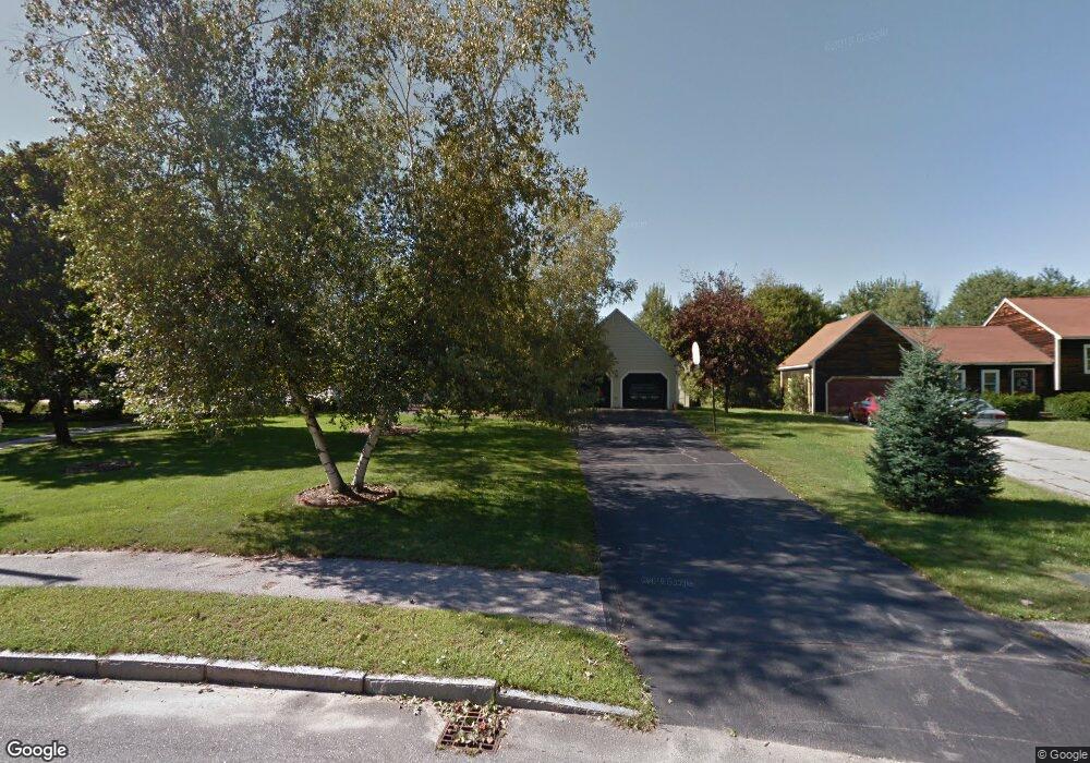
44 Conant Dr Concord, NH 03301
South End NeighborhoodEstimated Value: $600,051 - $659,000
3
Beds
2
Baths
1,914
Sq Ft
$331/Sq Ft
Est. Value
About This Home
This home is located at 44 Conant Dr, Concord, NH 03301 and is currently estimated at $634,263, approximately $331 per square foot. 44 Conant Dr is a home located in Merrimack County with nearby schools including Abbot-Downing School, Rundlett Middle School, and Concord High School.
Ownership History
Date
Name
Owned For
Owner Type
Purchase Details
Closed on
Apr 7, 2025
Sold by
Angwin Paul G and Angwin Norma J
Bought by
Angwin Ft and Angwin
Current Estimated Value
Purchase Details
Closed on
Mar 12, 2012
Sold by
Paul H & R G Angwin Ret and Acorace
Bought by
Delta Dental Plan Of N
Create a Home Valuation Report for This Property
The Home Valuation Report is an in-depth analysis detailing your home's value as well as a comparison with similar homes in the area
Home Values in the Area
Average Home Value in this Area
Purchase History
| Date | Buyer | Sale Price | Title Company |
|---|---|---|---|
| Angwin Ft | -- | None Available | |
| Delta Dental Plan Of N | $350,000 | -- | |
| Delta Dental Plan Of N | $350,000 | -- |
Source: Public Records
Tax History Compared to Growth
Tax History
| Year | Tax Paid | Tax Assessment Tax Assessment Total Assessment is a certain percentage of the fair market value that is determined by local assessors to be the total taxable value of land and additions on the property. | Land | Improvement |
|---|---|---|---|---|
| 2024 | $11,367 | $410,500 | $115,700 | $294,800 |
| 2023 | $11,026 | $410,500 | $115,700 | $294,800 |
| 2022 | $10,628 | $410,500 | $115,700 | $294,800 |
| 2021 | $10,209 | $406,400 | $111,600 | $294,800 |
| 2020 | $10,043 | $375,300 | $89,200 | $286,100 |
| 2019 | $9,226 | $332,100 | $87,400 | $244,700 |
| 2018 | $8,948 | $317,400 | $87,400 | $230,000 |
| 2017 | $8,726 | $309,000 | $87,400 | $221,600 |
| 2016 | $8,190 | $296,000 | $85,900 | $210,100 |
| 2015 | $7,855 | $280,000 | $89,500 | $190,500 |
| 2014 | $7,507 | $280,000 | $89,500 | $190,500 |
| 2013 | -- | $276,300 | $89,500 | $186,800 |
| 2012 | -- | $268,500 | $89,500 | $179,000 |
Source: Public Records
Map
Nearby Homes
- 22 Wilson Ave
- 15 Wilson Ave
- 0 South St Unit 4969509
- 122 South St
- 12 Avon St
- 2 Kensington Rd
- 1 Kensington Rd
- 289 South St
- 0 Spruce St Unit 88
- 105 S Main St
- 47 South St
- 33 Spruce St
- 24 Pierce St
- 376 S Main St
- 14 Downing St
- 14-16 Perley St
- 10 Perley St
- 53 Heather Ln
- 54 Pleasant St Unit 8
- 87 S Main St Unit 2