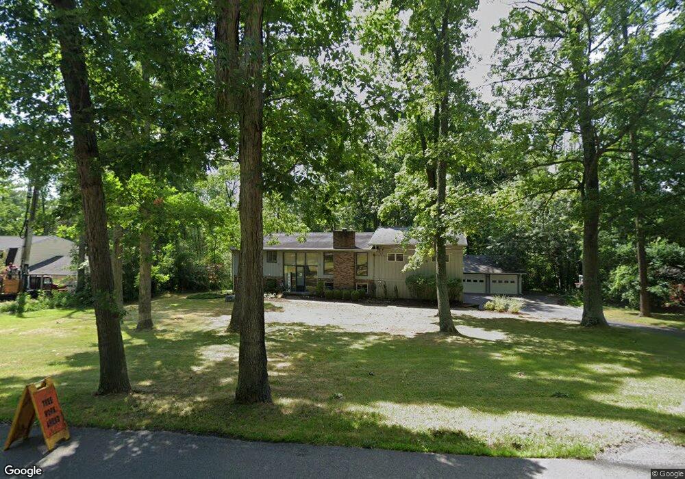
44 Davenport Rd Big Flats, NY 14814
Estimated Value: $319,000 - $462,000
5
Beds
4
Baths
1,872
Sq Ft
$219/Sq Ft
Est. Value
About This Home
This home is located at 44 Davenport Rd, Big Flats, NY 14814 and is currently estimated at $410,270, approximately $219 per square foot. 44 Davenport Rd is a home located in Chemung County with nearby schools including Big Flats School, Horseheads Middle School, and Horseheads Intermediate School.
Ownership History
Date
Name
Owned For
Owner Type
Purchase Details
Closed on
Sep 11, 2007
Sold by
Dauchy Todd M
Bought by
Mccullough Michael
Current Estimated Value
Home Financials for this Owner
Home Financials are based on the most recent Mortgage that was taken out on this home.
Original Mortgage
$200,000
Outstanding Balance
$85,318
Interest Rate
6.74%
Mortgage Type
Purchase Money Mortgage
Estimated Equity
$324,952
Purchase Details
Closed on
Oct 27, 1998
Sold by
Smith Scott W and Smith Margaret R
Bought by
Dauchy Todd M and Dauchy Nicole L
Create a Home Valuation Report for This Property
The Home Valuation Report is an in-depth analysis detailing your home's value as well as a comparison with similar homes in the area
Home Values in the Area
Average Home Value in this Area
Purchase History
| Date | Buyer | Sale Price | Title Company |
|---|---|---|---|
| Mccullough Michael | $240,000 | Steven W Barnstead | |
| Dauchy Todd M | $119,000 | -- |
Source: Public Records
Mortgage History
| Date | Status | Borrower | Loan Amount |
|---|---|---|---|
| Open | Mccullough Michael | $200,000 |
Source: Public Records
Tax History Compared to Growth
Tax History
| Year | Tax Paid | Tax Assessment Tax Assessment Total Assessment is a certain percentage of the fair market value that is determined by local assessors to be the total taxable value of land and additions on the property. | Land | Improvement |
|---|---|---|---|---|
| 2024 | $10,993 | $408,700 | $68,100 | $340,600 |
| 2023 | $9,975 | $364,500 | $63,000 | $301,500 |
| 2022 | $10,267 | $364,500 | $63,000 | $301,500 |
| 2021 | $9,849 | $343,900 | $61,200 | $282,700 |
| 2020 | $9,378 | $324,400 | $58,300 | $266,100 |
| 2019 | $3,672 | $324,400 | $58,300 | $266,100 |
| 2018 | $8,968 | $324,400 | $58,300 | $266,100 |
| 2017 | $9,143 | $324,400 | $58,300 | $266,100 |
| 2016 | $9,061 | $324,400 | $58,300 | $266,100 |
| 2015 | -- | $324,400 | $58,300 | $266,100 |
| 2014 | -- | $309,000 | $56,500 | $252,500 |
Source: Public Records
Map
Nearby Homes
- 3 Davenport Rd
- 2 Davenport Rd
- 90 Davenport Rd
- 40 Orchard Dr
- 113 Olcott Rd N
- 170 Hillview Dr
- 0 Goff Rd
- 23 Chestnut St
- 12017 Birch Dr
- 11827 Lando Ln
- 11901 Jolley Way
- 0 Jolley Way
- 0 Canal St
- 2817 Forest Hill Dr
- 3211 Hickock Rd
- 11955 River Rd
- 2609 King Cir
- 11948 River Rd
- 689 Steege Hill Rd
- 2614 Morrcrest Dr
- 52 Davenport Rd
- 42 Davenport Rd
- 47 Davenport Rd
- 36 Davenport Rd
- 60 Davenport Rd
- 37 Davenport Rd
- 26 Davenport Rd
- 68 Davenport Rd
- 29 Davenport Rd
- 72 Davenport Rd
- 41 Woodland Dr
- 45 Woodland Dr
- 37 Woodland Dr
- 49 Woodland Dr
- 84 Davenport Rd
- 12 Davenport Rd
- 51 Woodland Dr
- 35 Woodland Dr
- 55 Churchill Place
- 48 Woodland Dr