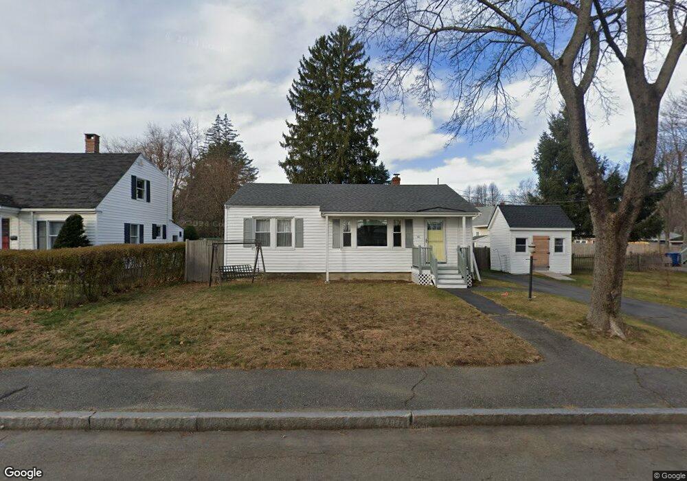
44 Dennett St Unit Portl Portland, ME 04102
Nasons Corner NeighborhoodEstimated Value: $316,000 - $449,000
3
Beds
1
Bath
864
Sq Ft
$466/Sq Ft
Est. Value
About This Home
This home is located at 44 Dennett St Unit Portl, Portland, ME 04102 and is currently estimated at $402,624, approximately $466 per square foot. 44 Dennett St Unit Portl is a home located in Cumberland County with nearby schools including Amanda C Rowe School, Lincoln Middle School, and Breakwater School.
Ownership History
Date
Name
Owned For
Owner Type
Purchase Details
Closed on
Mar 22, 2005
Sold by
American Screenwriters
Bought by
Downs Benjamin M and Downs Cortney
Current Estimated Value
Home Financials for this Owner
Home Financials are based on the most recent Mortgage that was taken out on this home.
Original Mortgage
$143,920
Outstanding Balance
$74,841
Interest Rate
6%
Mortgage Type
Adjustable Rate Mortgage/ARM
Estimated Equity
$327,783
Create a Home Valuation Report for This Property
The Home Valuation Report is an in-depth analysis detailing your home's value as well as a comparison with similar homes in the area
Home Values in the Area
Average Home Value in this Area
Purchase History
| Date | Buyer | Sale Price | Title Company |
|---|---|---|---|
| Downs Benjamin M | -- | -- |
Source: Public Records
Mortgage History
| Date | Status | Borrower | Loan Amount |
|---|---|---|---|
| Open | Downs Benjamin M | $143,920 | |
| Closed | Downs Benjamin M | $17,990 |
Source: Public Records
Tax History Compared to Growth
Tax History
| Year | Tax Paid | Tax Assessment Tax Assessment Total Assessment is a certain percentage of the fair market value that is determined by local assessors to be the total taxable value of land and additions on the property. | Land | Improvement |
|---|---|---|---|---|
| 2024 | $4,065 | $270,800 | $76,500 | $194,300 |
| 2023 | $3,876 | $269,000 | $76,500 | $192,500 |
| 2022 | $3,661 | $269,000 | $76,500 | $192,500 |
| 2021 | $3,494 | $269,000 | $76,500 | $192,500 |
| 2020 | $3,212 | $137,800 | $53,900 | $83,900 |
| 2019 | $3,212 | $137,800 | $53,900 | $83,900 |
| 2018 | $3,098 | $137,800 | $53,900 | $83,900 |
| 2017 | $2,983 | $137,800 | $53,900 | $83,900 |
| 2016 | $2,909 | $137,800 | $53,900 | $83,900 |
| 2015 | $2,843 | $137,800 | $53,900 | $83,900 |
| 2014 | $2,756 | $137,800 | $53,900 | $83,900 |
Source: Public Records
Map
Nearby Homes
- 0 Hillcrest Ave
- 7 Dale Ct
- 99 Webb St
- 63A Capisic St
- 24 Celebration Ct Unit 13
- 159 Bancroft St
- 97 Warren Ave
- 37 Tremont St
- 18 Stoneledge Dr
- 147 Pleasant Ave Unit 2
- 1549 Westbrook St
- 4 Fairview St
- 75 Mcauley Way Unit 307
- 75 Mcauley Way Unit 206
- 75 Mcauley Way Unit 401
- 75 Mcauley Way Unit 207
- 75 Mcauley Way Unit 502
- 75 Mcauley Way Unit 304
- 75 Mcauley Way Unit 301
- 75 Mcauley Way Unit 402