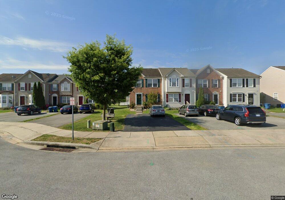
44 E Fred Cir Camden, DE 19934
Estimated Value: $277,000 - $317,000
3
Beds
3
Baths
1,348
Sq Ft
$217/Sq Ft
Est. Value
About This Home
This home is located at 44 E Fred Cir, Camden, DE 19934 and is currently estimated at $292,233, approximately $216 per square foot. 44 E Fred Cir is a home located in Kent County with nearby schools including Nellie Hughes Stokes Elementary School, Fred Fifer Middle School, and Caesar Rodney High School.
Ownership History
Date
Name
Owned For
Owner Type
Purchase Details
Closed on
Sep 26, 2006
Sold by
Odonnell Frank G and Odonnell Carol L
Bought by
Arrington Winston L and Jones Cezette E
Current Estimated Value
Home Financials for this Owner
Home Financials are based on the most recent Mortgage that was taken out on this home.
Original Mortgage
$198,400
Outstanding Balance
$118,912
Interest Rate
6.54%
Mortgage Type
FHA
Estimated Equity
$173,321
Purchase Details
Closed on
Dec 27, 2005
Sold by
Ryland Group Inc
Bought by
Odonnell Carol L and Odonnell Frank G
Home Financials for this Owner
Home Financials are based on the most recent Mortgage that was taken out on this home.
Original Mortgage
$38,288
Interest Rate
6.39%
Mortgage Type
Seller Take Back
Create a Home Valuation Report for This Property
The Home Valuation Report is an in-depth analysis detailing your home's value as well as a comparison with similar homes in the area
Home Values in the Area
Average Home Value in this Area
Purchase History
| Date | Buyer | Sale Price | Title Company |
|---|---|---|---|
| Arrington Winston L | $6,000 | Chicago Title Insurance Comp | |
| Odonnell Carol L | $5,743 | None Available |
Source: Public Records
Mortgage History
| Date | Status | Borrower | Loan Amount |
|---|---|---|---|
| Open | Arrington Winston L | $198,400 | |
| Previous Owner | Odonnell Carol L | $38,288 |
Source: Public Records
Tax History
| Year | Tax Paid | Tax Assessment Tax Assessment Total Assessment is a certain percentage of the fair market value that is determined by local assessors to be the total taxable value of land and additions on the property. | Land | Improvement |
|---|---|---|---|---|
| 2025 | $1,006 | $247,500 | $65,900 | $181,600 |
| 2024 | $1,002 | $247,500 | $65,900 | $181,600 |
| 2023 | $903 | $34,800 | $3,400 | $31,400 |
| 2022 | $854 | $34,800 | $3,400 | $31,400 |
| 2021 | $847 | $34,800 | $3,400 | $31,400 |
| 2020 | $833 | $34,800 | $3,400 | $31,400 |
| 2019 | $801 | $34,800 | $3,400 | $31,400 |
| 2018 | $773 | $34,800 | $3,400 | $31,400 |
| 2017 | $751 | $34,800 | $0 | $0 |
| 2016 | $736 | $34,800 | $0 | $0 |
| 2015 | $619 | $34,800 | $0 | $0 |
| 2014 | $617 | $34,800 | $0 | $0 |
Source: Public Records
Map
Nearby Homes
- 31 E Fred Cir
- 16 Lone Tree Dr
- 13 Casterline Ct
- 256 Headstart Ln
- 45 Capricorn Way
- 109 Wesley St
- 105 Wilder Rd
- 96 Lochmeath Way
- 21 E Peach St
- Lot 47 Red Brookfield Dr
- 143 S Knight Ln Unit 107
- 50 Nanticoke Dr
- Lot 22 Bee Brookfield Dr
- 1275 Lochmeath Way
- 11901 Willow Grove Rd
- 237 E Camden Wyoming Ave
- 11 N Kimmer Ln Unit 265
- 11939 Willow Grove Rd
- 870 Brookfield Dr
- 43 Brookfield Dr
Your Personal Tour Guide
Ask me questions while you tour the home.