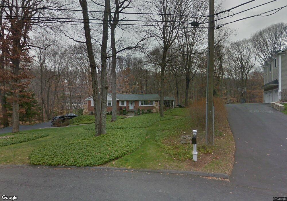
44 High Point Rd Westport, CT 06880
Staples NeighborhoodEstimated Value: $1,250,124 - $1,546,000
3
Beds
4
Baths
1,596
Sq Ft
$896/Sq Ft
Est. Value
About This Home
This home is located at 44 High Point Rd, Westport, CT 06880 and is currently estimated at $1,429,531, approximately $895 per square foot. 44 High Point Rd is a home located in Fairfield County with nearby schools including Long Lots School, Bedford Middle School, and Staples High School.
Ownership History
Date
Name
Owned For
Owner Type
Purchase Details
Closed on
Jun 14, 1972
Bought by
Shannon John F and Shannon Dianne
Current Estimated Value
Create a Home Valuation Report for This Property
The Home Valuation Report is an in-depth analysis detailing your home's value as well as a comparison with similar homes in the area
Home Values in the Area
Average Home Value in this Area
Purchase History
| Date | Buyer | Sale Price | Title Company |
|---|---|---|---|
| Shannon John F | -- | -- |
Source: Public Records
Tax History Compared to Growth
Tax History
| Year | Tax Paid | Tax Assessment Tax Assessment Total Assessment is a certain percentage of the fair market value that is determined by local assessors to be the total taxable value of land and additions on the property. | Land | Improvement |
|---|---|---|---|---|
| 2025 | $10,782 | $571,700 | $446,600 | $125,100 |
| 2024 | $10,645 | $571,700 | $446,600 | $125,100 |
| 2023 | $10,491 | $571,700 | $446,600 | $125,100 |
| 2022 | $10,331 | $571,700 | $446,600 | $125,100 |
| 2021 | $10,331 | $571,700 | $446,600 | $125,100 |
| 2020 | $9,841 | $588,900 | $454,400 | $134,500 |
| 2019 | $9,929 | $588,900 | $454,400 | $134,500 |
| 2018 | $9,929 | $588,900 | $454,400 | $134,500 |
| 2017 | $9,929 | $588,900 | $454,400 | $134,500 |
| 2016 | $9,929 | $588,900 | $454,400 | $134,500 |
| 2015 | $10,959 | $605,800 | $406,800 | $199,000 |
| 2014 | $10,868 | $605,800 | $406,800 | $199,000 |
Source: Public Records
Map
Nearby Homes
- 6 Bayberry Common
- 21 Sturges Commons
- 6 Fox Run Ln
- 13 Terhune Dr
- 10 Debra Ln
- 16 Burr School Rd
- 43 Burr Farms Rd
- 1 Sturges Hwy Unit Lot 1
- 1 Sturges Hwy Unit 2
- 9 Burr Farms Rd
- 111 Sturges Hwy
- 4 Burr Farms Rd
- 1084 Sturges Hwy
- 40 Maple Ave N
- 7 Morningside Ln
- 107 Old Rd
- 402 Harvest Commons Unit 402
- 1001 Hulls Farm Rd
- 1135 Hulls Farm Rd
- 1 Coastal Ct
- 42 High Point Rd
- 46 High Point Rd
- 48 High Point Rd
- 36 High Point Rd
- 41 High Point Rd
- 50 High Point Rd
- 43 High Point Rd
- 34 High Point Rd
- 47 High Point Rd
- 35 High Point Rd
- 49 High Point Rd
- 69 Bayberry Ln
- 32 High Point Rd
- 39 High Point Rd
- 14 Dorchester Dr
- 52 High Point Rd
- 54 High Point Rd
- 37 High Point Rd
- 51 High Point Rd