44 Kerrie Ct Moultonborough, NH 03254
Estimated Value: $638,179 - $2,614,000
4
Beds
3
Baths
2,969
Sq Ft
$480/Sq Ft
Est. Value
About This Home
This home is located at 44 Kerrie Ct, Moultonborough, NH 03254 and is currently estimated at $1,425,393, approximately $480 per square foot. 44 Kerrie Ct is a home located in Carroll County with nearby schools including Moultonborough Central School and Moultonborough Academy High School.
Ownership History
Date
Name
Owned For
Owner Type
Purchase Details
Closed on
Jun 9, 2019
Sold by
Shirley J Schneider Irt
Bought by
Aaron D & J S Alexander Irt
Current Estimated Value
Purchase Details
Closed on
Jul 1, 2014
Sold by
Alexander Aaron D and Alexander Jill S
Bought by
Aaron D D and Aaron S J
Purchase Details
Closed on
Aug 17, 1992
Bought by
Aaron D & J S Alexander Ret
Create a Home Valuation Report for This Property
The Home Valuation Report is an in-depth analysis detailing your home's value as well as a comparison with similar homes in the area
Home Values in the Area
Average Home Value in this Area
Purchase History
| Date | Buyer | Sale Price | Title Company |
|---|---|---|---|
| Aaron D & J S Alexander Irt | -- | -- | |
| Aaron D D | -- | -- | |
| Aaron D & J S Alexander Ret | -- | -- |
Source: Public Records
Tax History Compared to Growth
Tax History
| Year | Tax Paid | Tax Assessment Tax Assessment Total Assessment is a certain percentage of the fair market value that is determined by local assessors to be the total taxable value of land and additions on the property. | Land | Improvement |
|---|---|---|---|---|
| 2024 | $3,106 | $549,800 | $147,600 | $402,200 |
| 2023 | $2,948 | $517,200 | $126,500 | $390,700 |
| 2022 | $2,197 | $459,600 | $115,500 | $344,100 |
| 2021 | $2,837 | $406,400 | $110,200 | $296,200 |
| 2020 | $2,698 | $378,400 | $110,200 | $268,200 |
| 2019 | $2,583 | $361,200 | $110,300 | $250,900 |
| 2018 | $2,687 | $348,100 | $101,800 | $246,300 |
| 2017 | $2,787 | $339,000 | $101,800 | $237,200 |
| 2016 | $2,840 | $324,900 | $101,800 | $223,100 |
| 2015 | $2,736 | $303,700 | $101,800 | $201,900 |
| 2014 | $2,733 | $308,500 | $101,800 | $206,700 |
| 2013 | $2,681 | $308,500 | $101,800 | $206,700 |
Source: Public Records
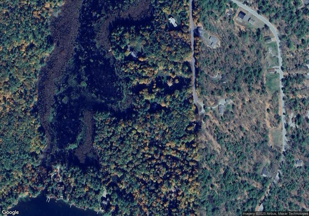
Map
Nearby Homes
- 320 Redding Ln
- 203 Krainewood Dr
- 22 Tiger Trail
- 30 Leopards Leap
- 33 Blackadar Ln
- 1 Little Beaver Island
- 29 Kona Farm Rd
- 24 Dew Point Ln
- 38 Lake Shore Dr Unit 12
- 38 Lake Shore Dr Unit 10
- 00 Whittier Hwy Unit 8
- 4 Schneider Rd
- 122 Toltec Point Rd
- 52 Chase Cir
- 5 Ferry Rd
- 525 Whittier Hwy
- 2 Little Badger Island
- 244 Wentworth Shores Rd
- 100 Marvin Rd
- 00 Gilman Hill Rd Unit 1
- 42 Kerrie Ct
- 50 Kerrie Ct
- 32 Kerrie Ct
- 43 Kerrie Ct
- 27 Kerrie Ct
- 61 Sheltie Crossing
- 18 Kerrie Ct
- 63 Grassy Pond Rd
- 15 Kerrie Ct
- 57 Grassy Pond Rd
- 53 Grassy Pond Rd
- 49 Grassy Pond Rd
- 67 Grassy Pond Rd
- 73 Grassy Pond Rd
- 39 Grassy Pond Rd
- 208 Eagle Shore Rd
- 196 Eagle Shore Rd
- 28 Grassy Pond Rd
- 156 Eagle Shore Rd Unit 160
- 33 Grassy Pond Rd