44 Lawrence Ave Westport Point, MA 02791
Westport Point NeighborhoodEstimated Value: $1,522,208 - $1,872,000
3
Beds
--
Bath
1,874
Sq Ft
$934/Sq Ft
Est. Value
About This Home
This home is located at 44 Lawrence Ave, Westport Point, MA 02791 and is currently estimated at $1,751,069, approximately $934 per square foot. 44 Lawrence Ave is a home with nearby schools including Alice A. Macomber Primary School, Westport Elementary School, and Westport Middle-High School.
Ownership History
Date
Name
Owned For
Owner Type
Purchase Details
Closed on
Oct 8, 2024
Sold by
Neave Katherine F
Bought by
44 Lawrence Ave Rt and Neave
Current Estimated Value
Purchase Details
Closed on
Mar 1, 2007
Sold by
Neave Andrew T and Neave Elizabeth P
Bought by
Neave Joseph W and Neave Katherine F
Purchase Details
Closed on
Jan 16, 2007
Sold by
Neave Ft and Neave
Bought by
Neave Andrew T and Neave Elizabeth P
Create a Home Valuation Report for This Property
The Home Valuation Report is an in-depth analysis detailing your home's value as well as a comparison with similar homes in the area
Home Values in the Area
Average Home Value in this Area
Purchase History
| Date | Buyer | Sale Price | Title Company |
|---|---|---|---|
| 44 Lawrence Ave Rt | -- | None Available | |
| 44 Lawrence Ave Rt | -- | None Available | |
| Neave Joseph W | $350,000 | -- | |
| Neave Andrew T | -- | -- | |
| Neave Joseph W | $350,000 | -- | |
| Neave Andrew T | -- | -- |
Source: Public Records
Tax History Compared to Growth
Tax History
| Year | Tax Paid | Tax Assessment Tax Assessment Total Assessment is a certain percentage of the fair market value that is determined by local assessors to be the total taxable value of land and additions on the property. | Land | Improvement |
|---|---|---|---|---|
| 2025 | $10,762 | $1,444,600 | $1,143,000 | $301,600 |
| 2024 | $10,104 | $1,307,100 | $1,011,800 | $295,300 |
| 2023 | $10,144 | $1,243,100 | $963,600 | $279,500 |
| 2022 | $8,893 | $1,048,700 | $873,700 | $175,000 |
| 2021 | $8,036 | $932,300 | $759,200 | $173,100 |
| 2020 | $7,603 | $901,900 | $728,800 | $173,100 |
| 2019 | $7,422 | $897,500 | $728,800 | $168,700 |
| 2018 | $6,672 | $816,600 | $648,800 | $167,800 |
| 2017 | $6,527 | $819,000 | $648,800 | $170,200 |
| 2016 | $6,285 | $794,600 | $630,800 | $163,800 |
| 2015 | $6,937 | $874,800 | $720,900 | $153,900 |
Source: Public Records
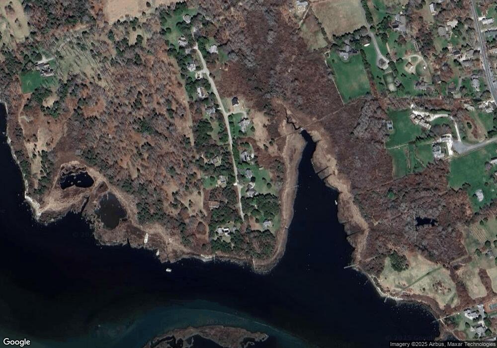
Map
Nearby Homes
- 1881 Main Rd
- 1702J Drift Rd
- 1702 Drift Rd
- 0 Reed Rd (Ss)
- 1580 Main Rd
- 19 Seabury Ln
- 1346 Main Rd Unit B
- 189 Brayton Point Rd
- 99 Sylvia Ln
- 304 Brayton Point Rd
- 255 John Dyer Rd
- 238-242 E Beach Rd
- 245 John Dyer Rd
- 17 Quail Trail
- 225 Hixbridge Rd
- Lot 2 Horseneck Rd
- 920 Drift Rd
- 101 Adamsville Rd
- 505 Long Hwy
- 116 Amy Hart Path
- 48 Lawrence Ave
- 38 Lawrence Ave
- 48 Lawrence Ave
- 43 Lawrence Ave Unit Weekly
- 43 Lawrence Ave Unit 1
- 43 Lawrence Ave
- 43 Lawrence Ave
- 43 Lawrence Ave Unit SUMMER WEEK
- 39 Lawrence Ave
- 49 Lawrence Ave
- 18 Lawrence Ave
- 54 Lawrence Ave
- 23 Lawrence Ave
- 15 Lawrence Ave
- 22 Lawrence Ave
- 10 Lawrence Ave
- 9 Lawrence Ave
- 9 Lawrence Ave Unit WEEKLY
- 57 Cape Bial Ln
- 46 Cape Bial Ln