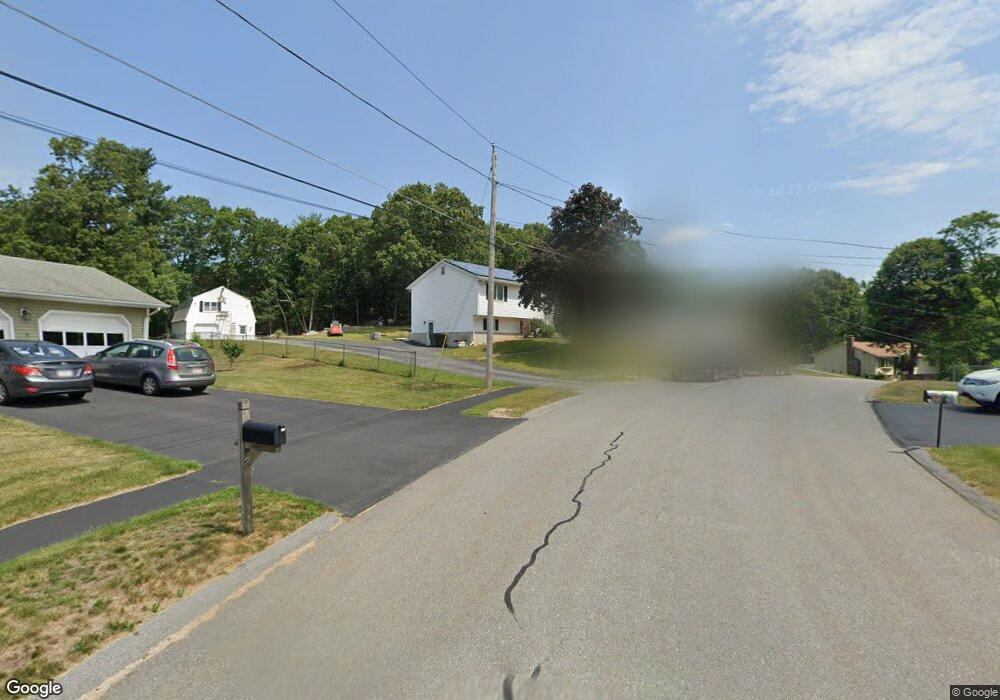
44 Lorna Dr Auburn, MA 01501
Stoneville NeighborhoodEstimated Value: $508,508 - $554,000
4
Beds
2
Baths
1,196
Sq Ft
$441/Sq Ft
Est. Value
About This Home
This home is located at 44 Lorna Dr, Auburn, MA 01501 and is currently estimated at $527,877, approximately $441 per square foot. 44 Lorna Dr is a home located in Worcester County with nearby schools including Auburn Senior High School and Shrewsbury Montessori School - Auburn Campus.
Ownership History
Date
Name
Owned For
Owner Type
Purchase Details
Closed on
Dec 12, 2003
Sold by
Kupstas Linda A
Bought by
Dorval Andrew P and Kapp Debra L
Current Estimated Value
Home Financials for this Owner
Home Financials are based on the most recent Mortgage that was taken out on this home.
Original Mortgage
$227,900
Outstanding Balance
$105,752
Interest Rate
5.9%
Mortgage Type
Purchase Money Mortgage
Estimated Equity
$422,125
Purchase Details
Closed on
Jul 31, 1996
Sold by
Rutigliano Donna M
Bought by
Kupstas Steven E and Kupstas Linda
Create a Home Valuation Report for This Property
The Home Valuation Report is an in-depth analysis detailing your home's value as well as a comparison with similar homes in the area
Home Values in the Area
Average Home Value in this Area
Purchase History
| Date | Buyer | Sale Price | Title Company |
|---|---|---|---|
| Dorval Andrew P | $288,500 | -- | |
| Dorval Andrew P | $288,500 | -- | |
| Kupstas Steven E | $135,000 | -- |
Source: Public Records
Mortgage History
| Date | Status | Borrower | Loan Amount |
|---|---|---|---|
| Open | Dorval Andrew P | $227,900 | |
| Closed | Dorval Andrew P | $227,900 |
Source: Public Records
Tax History Compared to Growth
Tax History
| Year | Tax Paid | Tax Assessment Tax Assessment Total Assessment is a certain percentage of the fair market value that is determined by local assessors to be the total taxable value of land and additions on the property. | Land | Improvement |
|---|---|---|---|---|
| 2025 | $64 | $449,800 | $130,400 | $319,400 |
| 2024 | $6,103 | $408,800 | $125,500 | $283,300 |
| 2023 | $5,852 | $368,500 | $114,200 | $254,300 |
| 2022 | $5,535 | $329,100 | $114,200 | $214,900 |
| 2021 | $5,174 | $285,200 | $100,800 | $184,400 |
| 2020 | $5,128 | $285,200 | $100,800 | $184,400 |
| 2019 | $5,021 | $272,600 | $99,900 | $172,700 |
| 2018 | $3,887 | $258,500 | $93,400 | $165,100 |
| 2017 | $4,523 | $246,600 | $84,700 | $161,900 |
| 2016 | $4,389 | $242,600 | $87,300 | $155,300 |
| 2015 | $4,015 | $232,600 | $87,300 | $145,300 |
| 2014 | $3,906 | $225,900 | $83,000 | $142,900 |
Source: Public Records
Map
Nearby Homes
- 27 Havana Rd
- 1-9 Helens Way
- 315 Stafford St
- 177 Oxford St N
- 2 Keen St
- 19-20 Williams St
- 177 Boyce St
- 176 Boyce St
- 5 Commonwealth Ave
- 25 Vinal St Unit 26
- 25 Vinal St Unit 29
- 25 Vinal St Unit 30
- 53 James St
- 34 Rockland Rd
- 8 Shirley St
- 40 Ludlow St
- 4 S Edlin St
- 24 Ludlow St
- 35 Genessee St Unit I
- 11 Inwood Rd