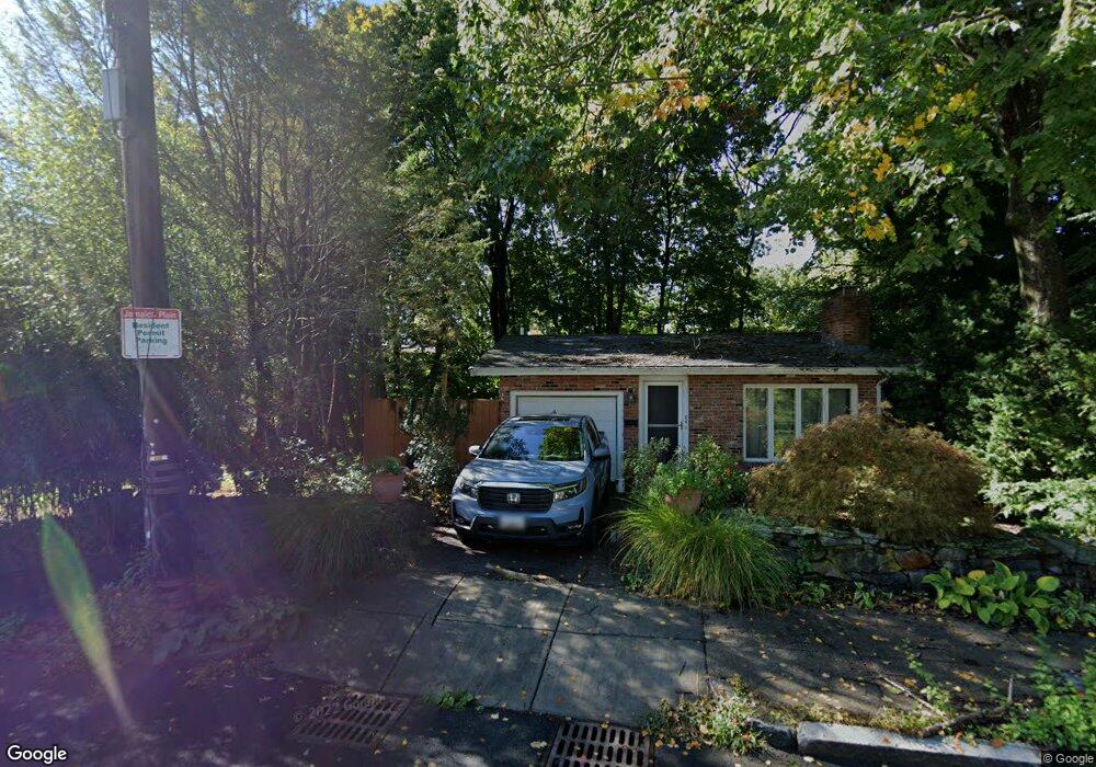
44 Malcolm Rd Jamaica Plain, MA 02130
Jamaica Plain NeighborhoodEstimated Value: $1,063,000 - $1,189,000
3
Beds
2
Baths
1,316
Sq Ft
$870/Sq Ft
Est. Value
About This Home
This home is located at 44 Malcolm Rd, Jamaica Plain, MA 02130 and is currently estimated at $1,144,573, approximately $869 per square foot. 44 Malcolm Rd is a home located in Suffolk County with nearby schools including Dexter School, The Park School, and The Croft School - Jamaica Plain.
Ownership History
Date
Name
Owned For
Owner Type
Purchase Details
Closed on
Sep 6, 2006
Sold by
Boynton Richard W
Bought by
Romano Cynthia M
Current Estimated Value
Home Financials for this Owner
Home Financials are based on the most recent Mortgage that was taken out on this home.
Original Mortgage
$456,000
Interest Rate
6.79%
Mortgage Type
Purchase Money Mortgage
Purchase Details
Closed on
Jan 15, 1988
Sold by
Carlson Glenn H
Bought by
Boynton Richard W
Create a Home Valuation Report for This Property
The Home Valuation Report is an in-depth analysis detailing your home's value as well as a comparison with similar homes in the area
Home Values in the Area
Average Home Value in this Area
Purchase History
| Date | Buyer | Sale Price | Title Company |
|---|---|---|---|
| Romano Cynthia M | $570,000 | -- | |
| Boynton Richard W | $177,500 | -- |
Source: Public Records
Mortgage History
| Date | Status | Borrower | Loan Amount |
|---|---|---|---|
| Open | Boynton Richard W | $417,000 | |
| Closed | Romano Cynthia M | $456,000 | |
| Previous Owner | Boynton Richard W | $260,000 | |
| Previous Owner | Boynton Richard W | $25,000 |
Source: Public Records
Tax History Compared to Growth
Tax History
| Year | Tax Paid | Tax Assessment Tax Assessment Total Assessment is a certain percentage of the fair market value that is determined by local assessors to be the total taxable value of land and additions on the property. | Land | Improvement |
|---|---|---|---|---|
| 2025 | $11,054 | $954,600 | $422,000 | $532,600 |
| 2024 | $10,672 | $979,100 | $421,100 | $558,000 |
| 2023 | $9,826 | $914,900 | $393,500 | $521,400 |
| 2022 | $9,135 | $839,600 | $361,100 | $478,500 |
| 2021 | $8,452 | $792,100 | $340,700 | $451,400 |
| 2020 | $7,284 | $689,800 | $321,400 | $368,400 |
| 2019 | $7,059 | $669,700 | $270,100 | $399,600 |
| 2018 | $6,684 | $637,800 | $270,100 | $367,700 |
| 2017 | $6,754 | $637,800 | $270,100 | $367,700 |
| 2016 | $6,265 | $569,500 | $270,100 | $299,400 |
| 2015 | $6,286 | $519,100 | $237,600 | $281,500 |
| 2014 | $6,035 | $479,700 | $237,600 | $242,100 |
Source: Public Records
Map
Nearby Homes
- 5 Malcolm Rd
- 12 Allandale St
- 228 Allandale Rd Unit 1B
- 228 Allandale Rd Unit 1A
- 2 Brownson Terrace
- 232 Allandale Rd Unit 2D
- 214 Allandale Rd Unit B
- 206 Allandale Rd Unit 3C
- 7 Rambler Rd
- 50 Hackensack Rd
- 2 Weld Hill St Unit 301
- 2 Weld Hill St Unit PH2
- 2 Weld Hill St Unit 302
- 38 Hazelmere Rd
- 1000 Centre St Unit 4
- 87 Knoll St
- 83 Payson Rd
- 170 Payson Rd
- 11 Furnival Rd
- 24 Burrwood Rd