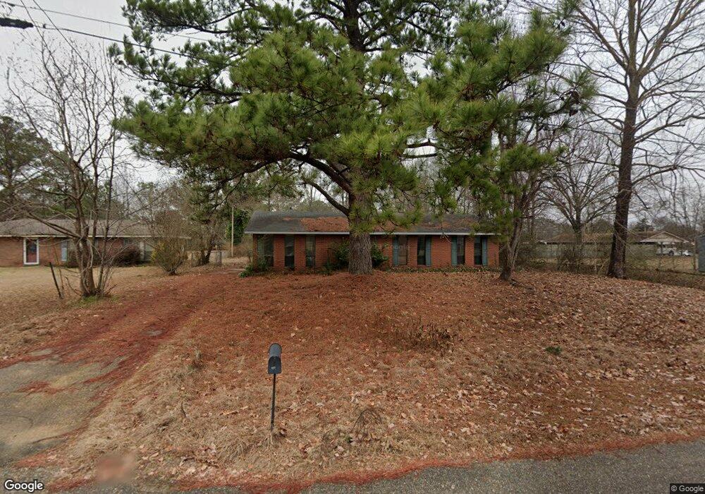
44 Maple Ct Wetumpka, AL 36092
Estimated Value: $172,000 - $187,000
3
Beds
2
Baths
1,352
Sq Ft
$130/Sq Ft
Est. Value
About This Home
This home is located at 44 Maple Ct, Wetumpka, AL 36092 and is currently estimated at $176,326, approximately $130 per square foot. 44 Maple Ct is a home located in Elmore County with nearby schools including Holtville Elementary School, Holtville Middle School, and Holtville High School.
Ownership History
Date
Name
Owned For
Owner Type
Purchase Details
Closed on
Nov 19, 2025
Sold by
Omega Ventures Holdings Ii Llc
Bought by
Ovh2a Llc
Current Estimated Value
Home Financials for this Owner
Home Financials are based on the most recent Mortgage that was taken out on this home.
Original Mortgage
$5,892,000
Outstanding Balance
$5,892,000
Interest Rate
6.3%
Mortgage Type
New Conventional
Estimated Equity
-$5,715,674
Purchase Details
Closed on
Jan 2, 2025
Sold by
Cs Equity Partners Llc
Bought by
Omega Ventures Holdings Ii Llc
Purchase Details
Closed on
May 10, 2022
Sold by
Bhm Capital Llc
Bought by
Cs Equity Partners Llc
Purchase Details
Closed on
Jan 9, 2009
Sold by
Collier Sandra M
Bought by
Free David A
Create a Home Valuation Report for This Property
The Home Valuation Report is an in-depth analysis detailing your home's value as well as a comparison with similar homes in the area
Home Values in the Area
Average Home Value in this Area
Purchase History
| Date | Buyer | Sale Price | Title Company |
|---|---|---|---|
| Ovh2a Llc | $134,440 | Mainstay National Title | |
| Omega Ventures Holdings Ii Llc | $185,000 | None Listed On Document | |
| Omega Ventures Holdings Ii Llc | $185,000 | None Listed On Document | |
| Cs Equity Partners Llc | $97,351 | Attorney Only | |
| Free David A | -- | -- |
Source: Public Records
Mortgage History
| Date | Status | Borrower | Loan Amount |
|---|---|---|---|
| Open | Ovh2a Llc | $5,892,000 |
Source: Public Records
Tax History Compared to Growth
Tax History
| Year | Tax Paid | Tax Assessment Tax Assessment Total Assessment is a certain percentage of the fair market value that is determined by local assessors to be the total taxable value of land and additions on the property. | Land | Improvement |
|---|---|---|---|---|
| 2024 | $722 | $26,880 | $0 | $0 |
| 2023 | $722 | $134,440 | $29,640 | $104,800 |
| 2022 | $237 | $22,368 | $5,928 | $16,440 |
| 2021 | $237 | $11,184 | $2,964 | $8,220 |
| 2020 | $237 | $11,184 | $2,964 | $8,220 |
| 2019 | $237 | $11,184 | $2,964 | $8,220 |
| 2018 | $207 | $9,974 | $2,964 | $7,010 |
| 2017 | $197 | $9,600 | $2,963 | $6,637 |
| 2016 | $238 | $9,224 | $2,964 | $6,260 |
| 2014 | $244 | $94,840 | $29,640 | $65,200 |
Source: Public Records
Map
Nearby Homes
- 0 First Ave Unit 21410147
- 7 Narrow Lane Rd
- 1226 Fitzpatrick Rd
- 511 Mehearg Rd
- 1995 Ceasarville Rd
- 0 Alabama 143
- 418 Flatwood Spur
- 78 Flatwood Rd
- 389 Penny Pkwy
- 351 Canal Ln
- 264 Canal Ln
- 154 Canal Ln
- 192 Crenshaw Dr
- 2230 Politic Rd
- 30 Canal Ln
- 1275 Crenshaw Rd
- 1765 Atkin Hill Rd
- 325 Brownstone Loop
- 92 Meadow Lane Dr
- 310 Brownstone Loop