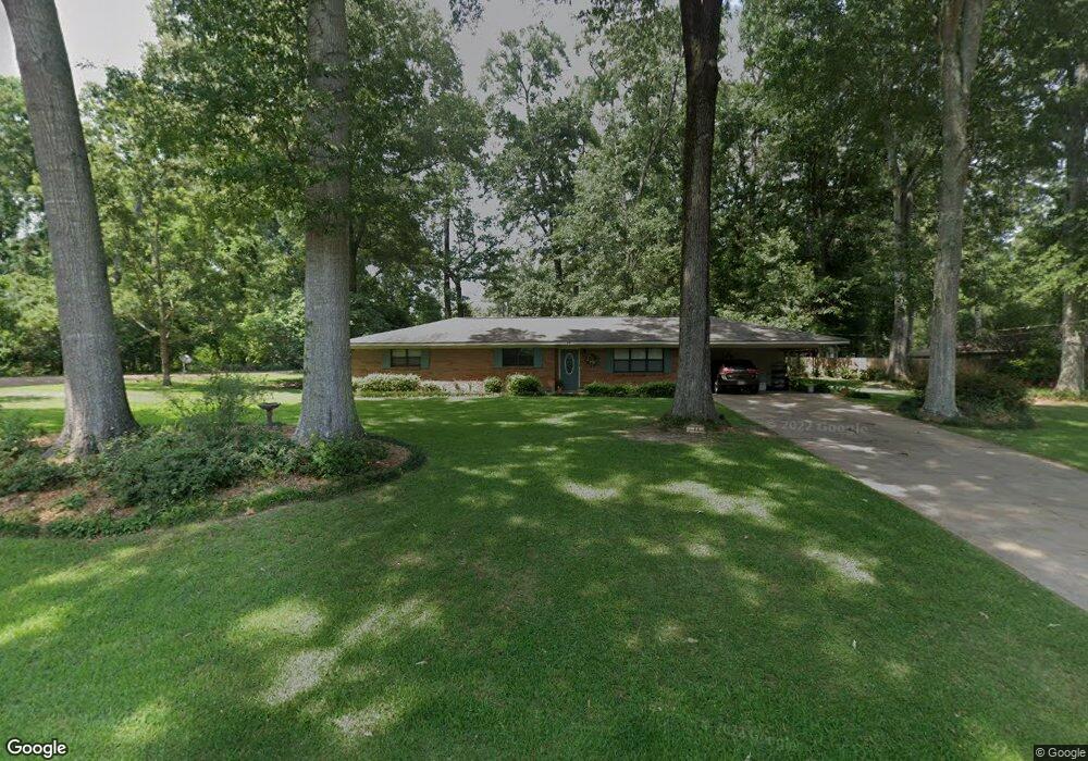
44 Melanie Rd Natchez, MS 39120
Estimated Value: $141,031 - $203,000
Studio
--
Bath
1,616
Sq Ft
$107/Sq Ft
Est. Value
About This Home
This home is located at 44 Melanie Rd, Natchez, MS 39120 and is currently estimated at $172,677, approximately $106 per square foot. 44 Melanie Rd is a home located in Adams County with nearby schools including McLaurin Elementary School, Susie B. West Primary School, and Joseph L. Frazier Primary School.
Ownership History
Date
Name
Owned For
Owner Type
Purchase Details
Closed on
Jan 31, 2008
Sold by
Pritchartt
Bought by
Sandpiper Llc
Current Estimated Value
Purchase Details
Closed on
Dec 20, 2007
Sold by
Pritchartt
Bought by
Upper Spokane Llc
Create a Home Valuation Report for This Property
The Home Valuation Report is an in-depth analysis detailing your home's value as well as a comparison with similar homes in the area
Purchase History
| Date | Buyer | Sale Price | Title Company |
|---|---|---|---|
| Sandpiper Llc | -- | -- | |
| Upper Spokane Llc | -- | -- | |
| Upper Spokane Llc | -- | -- |
Source: Public Records
Mortgage History
| Date | Status | Borrower | Loan Amount |
|---|---|---|---|
| Previous Owner | Upper Spokane Llc | $0 |
Source: Public Records
Tax History
| Year | Tax Paid | Tax Assessment Tax Assessment Total Assessment is a certain percentage of the fair market value that is determined by local assessors to be the total taxable value of land and additions on the property. | Land | Improvement |
|---|---|---|---|---|
| 2024 | $250 | $9,545 | $0 | $0 |
| 2023 | $259 | $8,261 | $1,200 | $7,061 |
| 2022 | $665 | $8,261 | $0 | $0 |
| 2021 | $662 | $8,261 | $0 | $0 |
| 2019 | $622 | $7,892 | $0 | $0 |
| 2018 | $616 | $7,892 | $0 | $0 |
| 2017 | $625 | $7,892 | $0 | $0 |
| 2016 | $605 | $7,629 | $0 | $0 |
| 2015 | $589 | $7,629 | $0 | $0 |
| 2014 | $589 | $7,629 | $0 | $0 |
Source: Public Records
Map
Nearby Homes
- 29 Melanie Rd
- 0 Triplett Dr
- 8 Newman Rd
- 802 Morgan Ave
- 405 Oakland Dr
- 305 Cottage Dr
- 2152 Second St
- 61 South St
- 20 Myrtle Dr
- 114 Mount Carmel Dr
- 113 Mimosa Dr
- 0 Enterprise Dr
- 401 Brooklyn Dr
- 0 Hwy 61 and Hwy 84 Unit 4097219
- 121 Hensley Rd
- 36 Wildlife Way
- 17 Coventry Rd Unit 2
- 17 Coventry Rd
- 1235 Magnolia Ave
- 0 Coventry Rd Unit 4137593
Your Personal Tour Guide
Ask me questions while you tour the home.