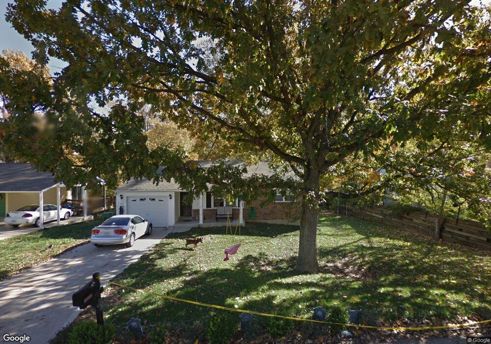
44 N Kern Dr O Fallon, MO 63366
Estimated Value: $258,471 - $290,000
3
Beds
2
Baths
1,020
Sq Ft
$267/Sq Ft
Est. Value
About This Home
This home is located at 44 N Kern Dr, O Fallon, MO 63366 and is currently estimated at $271,868, approximately $266 per square foot. 44 N Kern Dr is a home located in St. Charles County with nearby schools including Green Tree Elementary School, Wentzville South Middle School, and Timberland High School.
Ownership History
Date
Name
Owned For
Owner Type
Purchase Details
Closed on
Jan 18, 2018
Sold by
Scott Glenn
Bought by
Scott Carrie
Current Estimated Value
Purchase Details
Closed on
Mar 15, 2007
Sold by
Bruner Builders Llc
Bought by
Scott Glenn and Scott Carrie
Home Financials for this Owner
Home Financials are based on the most recent Mortgage that was taken out on this home.
Original Mortgage
$140,000
Outstanding Balance
$84,597
Interest Rate
6.32%
Mortgage Type
Purchase Money Mortgage
Estimated Equity
$187,271
Purchase Details
Closed on
Aug 28, 2006
Sold by
Dahn Judith Ann
Bought by
Bruner Builders Llc
Create a Home Valuation Report for This Property
The Home Valuation Report is an in-depth analysis detailing your home's value as well as a comparison with similar homes in the area
Home Values in the Area
Average Home Value in this Area
Purchase History
| Date | Buyer | Sale Price | Title Company |
|---|---|---|---|
| Scott Carrie | -- | None Available | |
| Scott Glenn | $140,000 | Title Resources | |
| Bruner Builders Llc | -- | Stc |
Source: Public Records
Mortgage History
| Date | Status | Borrower | Loan Amount |
|---|---|---|---|
| Open | Scott Glenn | $140,000 |
Source: Public Records
Tax History
| Year | Tax Paid | Tax Assessment Tax Assessment Total Assessment is a certain percentage of the fair market value that is determined by local assessors to be the total taxable value of land and additions on the property. | Land | Improvement |
|---|---|---|---|---|
| 2025 | $2,416 | $41,773 | -- | -- |
| 2024 | $2,416 | $36,617 | -- | -- |
| 2023 | $2,415 | $36,617 | -- | -- |
| 2022 | $2,125 | $29,933 | $0 | $0 |
| 2021 | $2,123 | $29,933 | $0 | $0 |
| 2020 | $2,004 | $27,533 | $0 | $0 |
| 2019 | $1,861 | $27,533 | $0 | $0 |
| 2018 | $1,751 | $24,654 | $0 | $0 |
| 2017 | $1,742 | $24,654 | $0 | $0 |
| 2016 | $1,259 | $17,595 | $0 | $0 |
| 2015 | $1,228 | $17,595 | $0 | $0 |
| 2014 | $1,253 | $18,379 | $0 | $0 |
Source: Public Records
Map
Nearby Homes
- 7 King Cir
- 263 Tyndale Dr
- 2 Royal Dr
- 1012 Delmar Dr
- 703 Norwood Terrace
- 856 Brookmead Dr
- 680 Lakewood Dr
- 655 Lakewood Dr
- 1382 Apple Valley Dr
- 617 Lakeview Rd
- 22 Holloway Dr
- 903 Palmer Ct Unit 3
- 1373 Sunburst Dr
- 219 Place
- 1011 Fairways Dr
- 136 Columbia Meadows Ln
- 1015 Fairways Dr
- 1 Grand Columbia @ Columbia Meadows
- 1 Columbia @ Columbia Meadows
- 1 Grand Columbia II @ Columbia Meadows
Your Personal Tour Guide
Ask me questions while you tour the home.