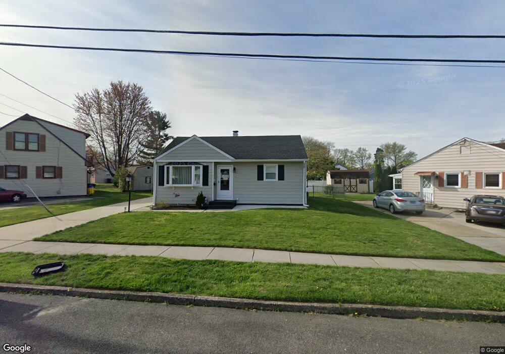
44 Paul Rd Maple Shade, NJ 08052
Estimated Value: $226,114 - $285,000
Studio
--
Bath
794
Sq Ft
$322/Sq Ft
Est. Value
About This Home
This home is located at 44 Paul Rd, Maple Shade, NJ 08052 and is currently estimated at $255,779, approximately $322 per square foot. 44 Paul Rd is a home located in Burlington County with nearby schools including Maude M. Wilkins Elementary School, Ralph J Steinhauer Elementary School, and Howard R Yocum School.
Ownership History
Date
Name
Owned For
Owner Type
Purchase Details
Closed on
Sep 25, 2018
Sold by
Barniak Elizabeth J and The Estate Of Elizabeth Wilson
Bought by
Barniak Elizabeth J
Current Estimated Value
Home Financials for this Owner
Home Financials are based on the most recent Mortgage that was taken out on this home.
Original Mortgage
$85,000
Outstanding Balance
$73,819
Interest Rate
4.5%
Mortgage Type
New Conventional
Estimated Equity
$181,960
Purchase Details
Closed on
Oct 30, 1998
Sold by
Hassinger David J and Hassinger Tracy L
Bought by
Wilson Robert and Wilson Elizabeth
Purchase Details
Closed on
Jun 26, 1995
Sold by
Campbell Helen M and Mcnabb John T
Bought by
Hassinger David J and France Tracy L
Create a Home Valuation Report for This Property
The Home Valuation Report is an in-depth analysis detailing your home's value as well as a comparison with similar homes in the area
Home Values in the Area
Average Home Value in this Area
Purchase History
| Date | Buyer | Sale Price | Title Company |
|---|---|---|---|
| Barniak Elizabeth J | $116,000 | None Available | |
| Wilson Robert | $90,000 | Congress Title Corp | |
| Hassinger David J | $85,000 | T A Title Insurance Co |
Source: Public Records
Mortgage History
| Date | Status | Borrower | Loan Amount |
|---|---|---|---|
| Open | Barniak Elizabeth J | $85,000 |
Source: Public Records
Tax History
| Year | Tax Paid | Tax Assessment Tax Assessment Total Assessment is a certain percentage of the fair market value that is determined by local assessors to be the total taxable value of land and additions on the property. | Land | Improvement |
|---|---|---|---|---|
| 2025 | $4,612 | $121,500 | $48,900 | $72,600 |
| 2024 | $4,478 | $121,500 | $48,900 | $72,600 |
| 2023 | $4,478 | $121,500 | $48,900 | $72,600 |
| 2022 | $4,409 | $121,500 | $48,900 | $72,600 |
| 2021 | $4,367 | $121,500 | $48,900 | $72,600 |
| 2020 | $4,379 | $121,500 | $48,900 | $72,600 |
| 2019 | $4,218 | $121,500 | $48,900 | $72,600 |
| 2018 | $4,146 | $121,500 | $48,900 | $72,600 |
| 2017 | $4,097 | $121,500 | $48,900 | $72,600 |
| 2016 | $4,036 | $121,500 | $48,900 | $72,600 |
| 2015 | $3,949 | $121,500 | $48,900 | $72,600 |
| 2014 | $3,828 | $121,500 | $48,900 | $72,600 |
Source: Public Records
Map
Nearby Homes
Your Personal Tour Guide
Ask me questions while you tour the home.