44 Range Way Cumberland Center, ME 04021
Estimated Value: $682,830 - $724,000
4
Beds
3
Baths
2,168
Sq Ft
$321/Sq Ft
Est. Value
About This Home
This home is located at 44 Range Way, Cumberland Center, ME 04021 and is currently estimated at $696,458, approximately $321 per square foot. 44 Range Way is a home located in Cumberland County with nearby schools including Mabel I. Wilson School, Greely Middle School 4-5, and Greely Middle School.
Ownership History
Date
Name
Owned For
Owner Type
Purchase Details
Closed on
Aug 25, 2006
Sold by
Gardner Scott J and Gardner Susan E
Bought by
Metzger Rosalyn J
Current Estimated Value
Home Financials for this Owner
Home Financials are based on the most recent Mortgage that was taken out on this home.
Original Mortgage
$226,129
Outstanding Balance
$134,870
Interest Rate
6.83%
Mortgage Type
Purchase Money Mortgage
Estimated Equity
$561,588
Create a Home Valuation Report for This Property
The Home Valuation Report is an in-depth analysis detailing your home's value as well as a comparison with similar homes in the area
Home Values in the Area
Average Home Value in this Area
Purchase History
| Date | Buyer | Sale Price | Title Company |
|---|---|---|---|
| Metzger Rosalyn J | -- | -- |
Source: Public Records
Mortgage History
| Date | Status | Borrower | Loan Amount |
|---|---|---|---|
| Open | Metzger Rosalyn J | $226,129 |
Source: Public Records
Tax History Compared to Growth
Tax History
| Year | Tax Paid | Tax Assessment Tax Assessment Total Assessment is a certain percentage of the fair market value that is determined by local assessors to be the total taxable value of land and additions on the property. | Land | Improvement |
|---|---|---|---|---|
| 2025 | $7,869 | $312,500 | $119,500 | $193,000 |
| 2024 | $7,266 | $312,500 | $119,500 | $193,000 |
| 2023 | $6,922 | $312,500 | $119,500 | $193,000 |
| 2022 | $6,625 | $312,500 | $119,500 | $193,000 |
| 2021 | $6,422 | $312,500 | $119,500 | $193,000 |
| 2020 | $6,359 | $312,500 | $119,500 | $193,000 |
| 2019 | $6,203 | $312,500 | $119,500 | $193,000 |
| 2018 | $6,156 | $312,500 | $119,500 | $193,000 |
| 2017 | $5,875 | $312,500 | $119,500 | $193,000 |
| 2016 | $5,703 | $312,500 | $119,500 | $193,000 |
| 2015 | $5,656 | $312,500 | $119,500 | $193,000 |
| 2014 | $5,438 | $312,500 | $119,500 | $193,000 |
| 2013 | $5,313 | $312,500 | $119,500 | $193,000 |
Source: Public Records
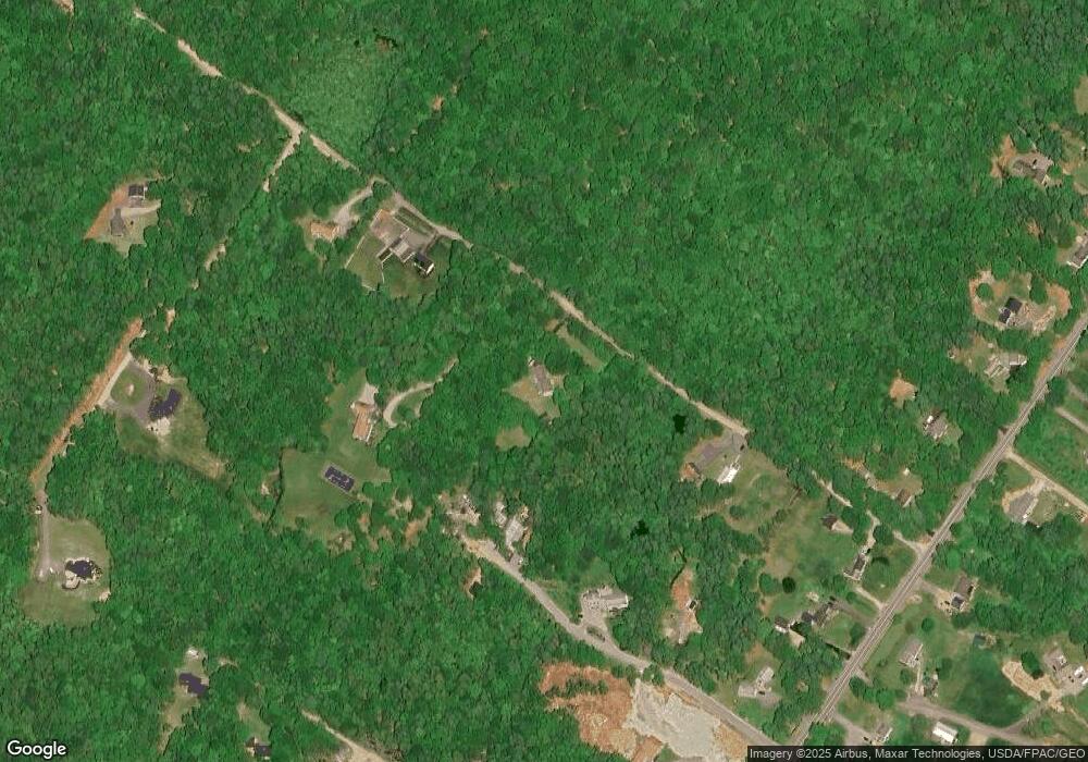
Map
Nearby Homes
- 186 Foreside Rd
- 5 Harmony Way
- Lot 3 Dunham Ln
- 15 Sea Cove Rd
- 11 Coastal Pines Lot 5
- Lot 8 Coastal Pines
- Lot 2 Dunham Ln
- 59 Underwood Rd
- 90 Harris Lot 1 Rd
- 39 Harris Rd
- 54 Longwoods Rd
- 30 Seaside Way Unit Lot 3
- 78 Applegate Ln
- 258 Foreside Rd
- 263 Foreside Rd
- R03-54-4 Longwoods Rd
- 89 Oakmont Dr
- 133 Longwoods Rd
- 24 York Ledge Dr
- 267 U S Route 1 Unit 308