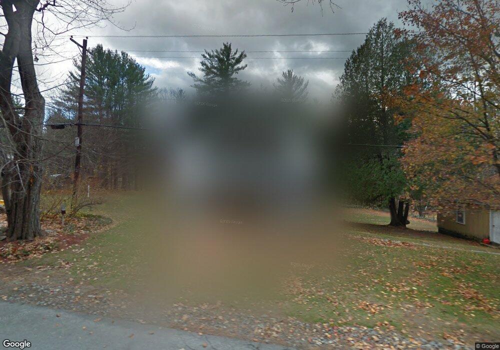
44 Shepard Hill Rd Holderness, NH 03245
Estimated Value: $452,258 - $721,000
3
Beds
2
Baths
1,720
Sq Ft
$331/Sq Ft
Est. Value
About This Home
This home is located at 44 Shepard Hill Rd, Holderness, NH 03245 and is currently estimated at $570,065, approximately $331 per square foot. 44 Shepard Hill Rd is a home located in Grafton County with nearby schools including Holderness Central School and Plymouth Regional High School.
Ownership History
Date
Name
Owned For
Owner Type
Purchase Details
Closed on
Jul 2, 2004
Sold by
Nistler Stanley S and Nistler Donna
Bought by
Jenkinson John and Jenkinson Michelle
Current Estimated Value
Home Financials for this Owner
Home Financials are based on the most recent Mortgage that was taken out on this home.
Original Mortgage
$206,100
Outstanding Balance
$100,550
Interest Rate
6.3%
Mortgage Type
Purchase Money Mortgage
Estimated Equity
$469,515
Create a Home Valuation Report for This Property
The Home Valuation Report is an in-depth analysis detailing your home's value as well as a comparison with similar homes in the area
Home Values in the Area
Average Home Value in this Area
Purchase History
| Date | Buyer | Sale Price | Title Company |
|---|---|---|---|
| Jenkinson John | $229,000 | -- |
Source: Public Records
Mortgage History
| Date | Status | Borrower | Loan Amount |
|---|---|---|---|
| Open | Jenkinson John | $206,100 |
Source: Public Records
Tax History
| Year | Tax Paid | Tax Assessment Tax Assessment Total Assessment is a certain percentage of the fair market value that is determined by local assessors to be the total taxable value of land and additions on the property. | Land | Improvement |
|---|---|---|---|---|
| 2025 | $3,277 | $347,900 | $78,800 | $269,100 |
| 2024 | $3,009 | $347,900 | $78,800 | $269,100 |
| 2023 | $2,988 | $347,900 | $78,800 | $269,100 |
| 2022 | $3,264 | $290,900 | $75,600 | $215,300 |
| 2021 | $3,290 | $290,900 | $75,600 | $215,300 |
| 2020 | $3,189 | $234,800 | $68,300 | $166,500 |
| 2019 | $6,602 | $234,800 | $68,300 | $166,500 |
| 2018 | $6,461 | $234,800 | $68,300 | $166,500 |
| 2017 | $2,946 | $207,750 | $52,750 | $155,000 |
| 2016 | $2,946 | $207,750 | $52,750 | $155,000 |
| 2015 | $2,946 | $207,750 | $52,750 | $155,000 |
| 2014 | $2,987 | $207,750 | $52,750 | $155,000 |
| 2011 | $2,983 | $226,650 | $52,750 | $173,900 |
Source: Public Records
Map
Nearby Homes
- 7 Ledges Rd Unit (aka Unit 79)
- 206 High Country Way Unit (aka Unit 100)
- 265 High Country Way Unit 116
- 34 Upper Meadows Rd Unit (aka Unit 85)
- 93 High Country Way Unit (aka Unit 42)
- 11 Sebec Rd
- 20 Circle Dr Unit 43
- 283 River St
- 88 Perch Pond Rd
- 0 Hicks Hill Rd Unit 5078588
- 0 Route 3 Unit 5073061
- 121 Riverside Dr
- 373 New Hampshire Route 175
- 40 Highland St
- 148 Sargent Rd
- 13 Pine Arden Dr Unit 70
- 53 Bay Dr
- 67 Kline Rd
- 14 Heritage Hill Rd
- 85 Portage Pass
- 38 Shepard Hill Rd
- 50 Shepard Hill Rd
- 56 Craftsman Dr
- 9 Serenity Ln
- 28 Shepard Hill Rd
- 1122 Us Route 3
- 63 Shepard Hill Rd
- 68 Shepard Hill Rd
- 14 Serenity Ln
- 10 Shepard Hill Rd
- 22 Shepard Hill Rd
- 794 Us Route 3
- 792 Us Route 3
- 784 Us Route 3
- 764 Pelham Dr N Unit 7
- 77 Shepard Hill Rd
- 78 Shepard Hill Rd
- 7 Pelham North Dr
- 7 Pelham North Dr Unit 7
- 820 U S 3
Your Personal Tour Guide
Ask me questions while you tour the home.