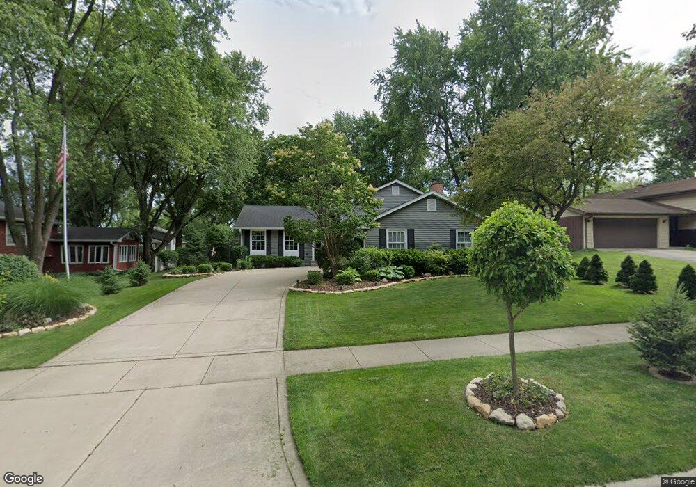
44 Starling Ln Naperville, IL 60565
Maple Brook NeighborhoodEstimated Value: $416,257 - $540,000
Studio
1
Bath
1,304
Sq Ft
$387/Sq Ft
Est. Value
About This Home
This home is located at 44 Starling Ln, Naperville, IL 60565 and is currently estimated at $505,064, approximately $387 per square foot. 44 Starling Ln is a home located in DuPage County with nearby schools including Maplebrook Elementary School, Lincoln Jr. High School, and Naperville Central High School.
Ownership History
Date
Name
Owned For
Owner Type
Purchase Details
Closed on
Mar 21, 2019
Sold by
Poole Allan L and Dorothy A Poole Living Trust
Bought by
Poole Allan L and Dorothy A Poole Marital Trust
Current Estimated Value
Purchase Details
Closed on
May 4, 2011
Sold by
Poole Allan L and Poole Dorothy A
Bought by
Poole Allan L and Poole Dorothy A
Create a Home Valuation Report for This Property
The Home Valuation Report is an in-depth analysis detailing your home's value as well as a comparison with similar homes in the area
Home Values in the Area
Average Home Value in this Area
Purchase History
| Date | Buyer | Sale Price | Title Company |
|---|---|---|---|
| Poole Allan L | -- | Attorney | |
| Poole Allan L | -- | None Available |
Source: Public Records
Tax History Compared to Growth
Tax History
| Year | Tax Paid | Tax Assessment Tax Assessment Total Assessment is a certain percentage of the fair market value that is determined by local assessors to be the total taxable value of land and additions on the property. | Land | Improvement |
|---|---|---|---|---|
| 2024 | $7,463 | $137,828 | $74,343 | $63,485 |
| 2023 | $7,134 | $125,790 | $67,850 | $57,940 |
| 2022 | $7,041 | $119,800 | $64,620 | $55,180 |
| 2021 | $6,768 | $115,270 | $62,180 | $53,090 |
| 2020 | $6,616 | $113,200 | $61,060 | $52,140 |
| 2019 | $6,404 | $108,300 | $58,420 | $49,880 |
| 2018 | $6,232 | $105,650 | $56,990 | $48,660 |
| 2017 | $6,091 | $102,090 | $55,070 | $47,020 |
| 2016 | $5,953 | $98,400 | $53,080 | $45,320 |
| 2015 | $5,887 | $92,670 | $49,990 | $42,680 |
| 2014 | $5,751 | $88,260 | $47,610 | $40,650 |
| 2013 | $5,665 | $88,470 | $47,720 | $40,750 |
Source: Public Records
Map
Nearby Homes
- 1751 S Washington St Unit 1
- 1754 S Washington St Unit 1754
- 40 Harbor Ct Unit 304
- 309 Carriage Hill Rd
- 138 E Bailey Rd Unit M
- 128 E Bailey Rd Unit G
- 124 E Bailey Rd Unit E
- 307 Leeds Ct
- 47 Glencoe Ct Unit 102D
- 23 Glencoe Ct Unit 202B
- 2132 Berkley Ct Unit 201A
- 303 Cedarbrook Rd
- 1712 Coach Dr
- 95 Midhurst Ct Unit 101
- 97 Midhurst Ct Unit 202
- 517 Sheffield Rd
- 425 Carriage Hill Rd
- 621 Bourbon Ct
- 2276 Kaskaskia Ct
- 18 Newgate Ave