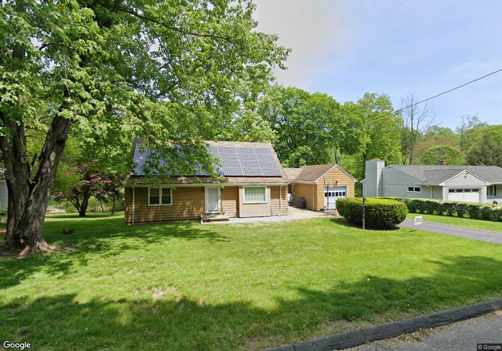
44 Tait Rd Trumbull, CT 06611
Trumbull Center NeighborhoodEstimated Value: $567,000 - $762,000
4
Beds
3
Baths
1,574
Sq Ft
$403/Sq Ft
Est. Value
About This Home
This home is located at 44 Tait Rd, Trumbull, CT 06611 and is currently estimated at $633,584, approximately $402 per square foot. 44 Tait Rd is a home located in Fairfield County with nearby schools including Frenchtown Elementary School, Madison Middle School, and Trumbull High School.
Ownership History
Date
Name
Owned For
Owner Type
Purchase Details
Closed on
Feb 27, 2006
Sold by
Tran Daniel
Bought by
Moore Brian and Schaaf Laura
Current Estimated Value
Home Financials for this Owner
Home Financials are based on the most recent Mortgage that was taken out on this home.
Original Mortgage
$352,000
Interest Rate
6.17%
Purchase Details
Closed on
Apr 10, 2001
Sold by
Nickolas Carrano Lt and Carrano Nickolas
Bought by
Tran Daniel
Create a Home Valuation Report for This Property
The Home Valuation Report is an in-depth analysis detailing your home's value as well as a comparison with similar homes in the area
Home Values in the Area
Average Home Value in this Area
Purchase History
| Date | Buyer | Sale Price | Title Company |
|---|---|---|---|
| Moore Brian | $440,000 | -- | |
| Tran Daniel | $275,000 | -- |
Source: Public Records
Mortgage History
| Date | Status | Borrower | Loan Amount |
|---|---|---|---|
| Open | Tran Daniel | $328,440 | |
| Closed | Tran Daniel | $352,000 | |
| Closed | Tran Daniel | $44,000 | |
| Previous Owner | Tran Daniel | $60,100 |
Source: Public Records
Tax History Compared to Growth
Tax History
| Year | Tax Paid | Tax Assessment Tax Assessment Total Assessment is a certain percentage of the fair market value that is determined by local assessors to be the total taxable value of land and additions on the property. | Land | Improvement |
|---|---|---|---|---|
| 2025 | $9,480 | $256,760 | $141,120 | $115,640 |
| 2024 | $9,220 | $256,760 | $141,120 | $115,640 |
| 2023 | $9,071 | $256,760 | $141,120 | $115,640 |
| 2022 | $8,926 | $256,760 | $141,120 | $115,640 |
| 2021 | $7,713 | $211,050 | $117,600 | $93,450 |
| 2020 | $7,566 | $211,050 | $117,600 | $93,450 |
| 2018 | $7,379 | $211,050 | $117,600 | $93,450 |
| 2017 | $7,231 | $211,050 | $117,600 | $93,450 |
| 2016 | $7,085 | $211,050 | $117,600 | $93,450 |
| 2015 | $7,183 | $211,500 | $117,600 | $93,900 |
| 2014 | $7,028 | $211,500 | $117,600 | $93,900 |
Source: Public Records
Map
Nearby Homes
- 33 Rexview Cir
- 33 Enclave Dr Unit 33
- 8 Moorland Rd
- 58 Daniels Farm Rd
- 11 Laurel St
- 7 Manor Dr
- Lot 31 Valley View Rd
- 121 Paugusett Cir
- 60 Lillian Dr
- 122 Paugusett Cir
- 1 Village Dr
- 26 Grove St
- 253 Mayfield Dr Unit 253
- 283 Mayfield Dr
- 17 Rainbow Dr
- 1675 Old Town Rd
- 184 Putting Green Rd
- 45 Rogerson Cir
- 0 Lot #4 & Lot #5 W Mischa Rd Unit 24138429
- 38 Smith Place