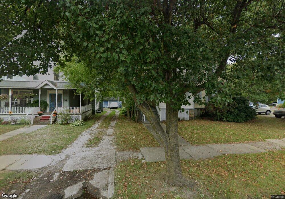
44 Tuttle Ct Geneva, OH 44041
Geneva NeighborhoodEstimated Value: $150,000 - $213,000
4
Beds
2
Baths
1,632
Sq Ft
$112/Sq Ft
Est. Value
About This Home
This home is located at 44 Tuttle Ct, Geneva, OH 44041 and is currently estimated at $182,738, approximately $111 per square foot. 44 Tuttle Ct is a home located in Ashtabula County with nearby schools including Geneva Middle School, Geneva High School, and Assumption School.
Ownership History
Date
Name
Owned For
Owner Type
Purchase Details
Closed on
Oct 25, 2012
Sold by
Patrick Krystal A and Patrick Bolyard A
Bought by
Bolyard Edward E
Current Estimated Value
Purchase Details
Closed on
Jul 25, 2005
Sold by
Patrick Earl L and Patrick Teresa M
Bought by
Bolyard Edward E and Bolyard Patrick Krystal
Home Financials for this Owner
Home Financials are based on the most recent Mortgage that was taken out on this home.
Original Mortgage
$95,054
Interest Rate
5.74%
Mortgage Type
FHA
Create a Home Valuation Report for This Property
The Home Valuation Report is an in-depth analysis detailing your home's value as well as a comparison with similar homes in the area
Home Values in the Area
Average Home Value in this Area
Purchase History
| Date | Buyer | Sale Price | Title Company |
|---|---|---|---|
| Bolyard Edward E | -- | None Available | |
| Bolyard Edward E | $112,000 | Lawyers Title Insurance Corp |
Source: Public Records
Mortgage History
| Date | Status | Borrower | Loan Amount |
|---|---|---|---|
| Previous Owner | Bolyard Edward E | $95,054 |
Source: Public Records
Tax History
| Year | Tax Paid | Tax Assessment Tax Assessment Total Assessment is a certain percentage of the fair market value that is determined by local assessors to be the total taxable value of land and additions on the property. | Land | Improvement |
|---|---|---|---|---|
| 2024 | $4,126 | $48,930 | $6,930 | $42,000 |
| 2023 | $2,374 | $48,930 | $6,930 | $42,000 |
| 2022 | $1,917 | $38,920 | $5,320 | $33,600 |
| 2021 | $2,001 | $38,920 | $5,320 | $33,600 |
| 2020 | $2,001 | $38,920 | $5,320 | $33,600 |
| 2019 | $1,611 | $30,140 | $5,180 | $24,960 |
| 2018 | $1,415 | $30,140 | $5,180 | $24,960 |
| 2017 | $1,415 | $30,140 | $5,180 | $24,960 |
| 2016 | $1,430 | $29,510 | $5,080 | $24,430 |
| 2015 | $1,422 | $29,510 | $5,080 | $24,430 |
| 2014 | $1,357 | $28,670 | $5,080 | $23,590 |
| 2013 | $1,541 | $34,440 | $4,760 | $29,680 |
Source: Public Records
Map
Nearby Homes
- 145 Walnut St
- 88 Leslie St
- 613 Sherman St
- 104 S Cedar St
- 45 S Cedar St
- 234 Elm St
- 740 W Main St
- 350 N Broadway
- 315 Garfield St
- 385 Nantucket Dr
- 535 Eastwood St
- 549 E Main St
- 557 North Ave
- VL N Crowell Ave
- 0 Walter Main
- 3583 Austin Rd Unit 89
- 3583 Austin Rd Unit 24
- 3583 Austin Rd Unit 5
- 3583 Austin Rd Unit 102
- 2791 Sylvan Rd
Your Personal Tour Guide
Ask me questions while you tour the home.