44 Wilson Rd Sanbornville, NH 03872
Estimated Value: $348,674 - $454,000
3
Beds
2
Baths
1,640
Sq Ft
$238/Sq Ft
Est. Value
About This Home
This home is located at 44 Wilson Rd, Sanbornville, NH 03872 and is currently estimated at $390,669, approximately $238 per square foot. 44 Wilson Rd is a home located in Carroll County with nearby schools including Paul Elementary School.
Ownership History
Date
Name
Owned For
Owner Type
Purchase Details
Closed on
Jul 3, 2007
Sold by
Option One Mortgage Co
Bought by
Stewart Diane
Current Estimated Value
Home Financials for this Owner
Home Financials are based on the most recent Mortgage that was taken out on this home.
Original Mortgage
$103,000
Outstanding Balance
$63,499
Interest Rate
6.24%
Mortgage Type
Purchase Money Mortgage
Estimated Equity
$327,170
Purchase Details
Closed on
Dec 18, 2006
Sold by
Snabaitis Anthony
Bought by
Hsbc Bank Na
Create a Home Valuation Report for This Property
The Home Valuation Report is an in-depth analysis detailing your home's value as well as a comparison with similar homes in the area
Home Values in the Area
Average Home Value in this Area
Purchase History
| Date | Buyer | Sale Price | Title Company |
|---|---|---|---|
| Stewart Diane | $130,000 | -- | |
| Hsbc Bank Na | $128,000 | -- |
Source: Public Records
Mortgage History
| Date | Status | Borrower | Loan Amount |
|---|---|---|---|
| Open | Hsbc Bank Na | $103,000 |
Source: Public Records
Tax History Compared to Growth
Tax History
| Year | Tax Paid | Tax Assessment Tax Assessment Total Assessment is a certain percentage of the fair market value that is determined by local assessors to be the total taxable value of land and additions on the property. | Land | Improvement |
|---|---|---|---|---|
| 2024 | $2,324 | $309,000 | $79,200 | $229,800 |
| 2023 | $2,117 | $309,000 | $79,200 | $229,800 |
| 2022 | $2,056 | $167,800 | $36,300 | $131,500 |
| 2021 | $2,071 | $167,800 | $36,300 | $131,500 |
| 2020 | $2,030 | $164,000 | $36,300 | $127,700 |
| 2019 | $2,045 | $164,000 | $36,300 | $127,700 |
| 2018 | $1,847 | $164,000 | $36,300 | $127,700 |
| 2017 | $1,565 | $123,700 | $35,200 | $88,500 |
| 2016 | $1,611 | $124,500 | $35,200 | $89,300 |
| 2015 | $1,626 | $124,500 | $35,200 | $89,300 |
| 2014 | $1,586 | $124,500 | $35,200 | $89,300 |
| 2013 | $1,529 | $124,500 | $35,200 | $89,300 |
Source: Public Records
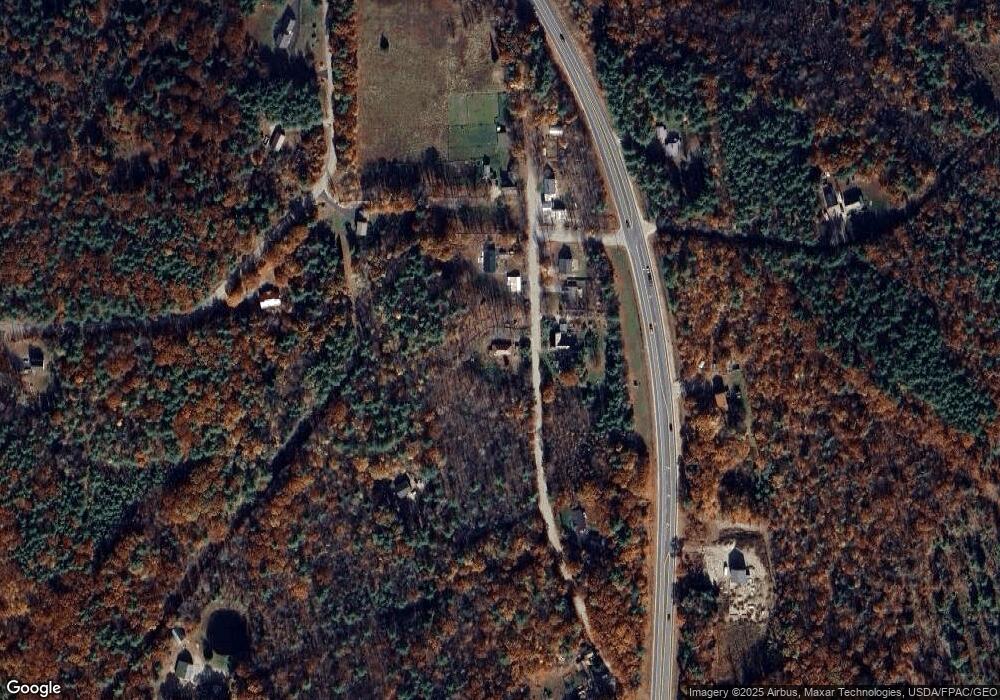
Map
Nearby Homes
- 1690 Province Lake Rd
- 26 Hilltop Dr
- 7 Garney Rd
- 204 Wansor Rd
- 22 Pike Brook Rd
- 46 Cese Way
- 55 Cese Way
- 149 Sleepy Hollow Rd
- 78 Buck Rd
- 305 Round Pond Rd
- 97 Daniel Dr
- 69 Wilderness Loop
- 106 Heron Cove Rd
- 29 Concord Ln
- 86 Concord Ln
- 2403 Province Lake Rd Unit 21000
- 0 Monique Dr Unit 5047887
- 76 Camp Rd
- 91 David Dr
- 1108 Witchtrot Rd
- 43 Wilson Rd
- 26 Wilson Rd
- 31 Wilson Rd
- 27 Wilson Rd
- 0 Wilson Rd
- 18 Wilson Rd
- 78 Wilson Rd
- 422 Grandview Loop
- 16 Wilson Rd
- 4130 White Mountain Hwy
- 386 Grandview Loop
- 37 Bancroft Ln
- 4194 White Mountain Hwy
- 441 Grandview Loop
- Lot 38 Bancroft Ln
- 23 Bancroft Ln
- 4275 White Mountain Hwy
- 465 Grandview Loop
- 00 White Mountain Hwy
- 120 Wilson Rd