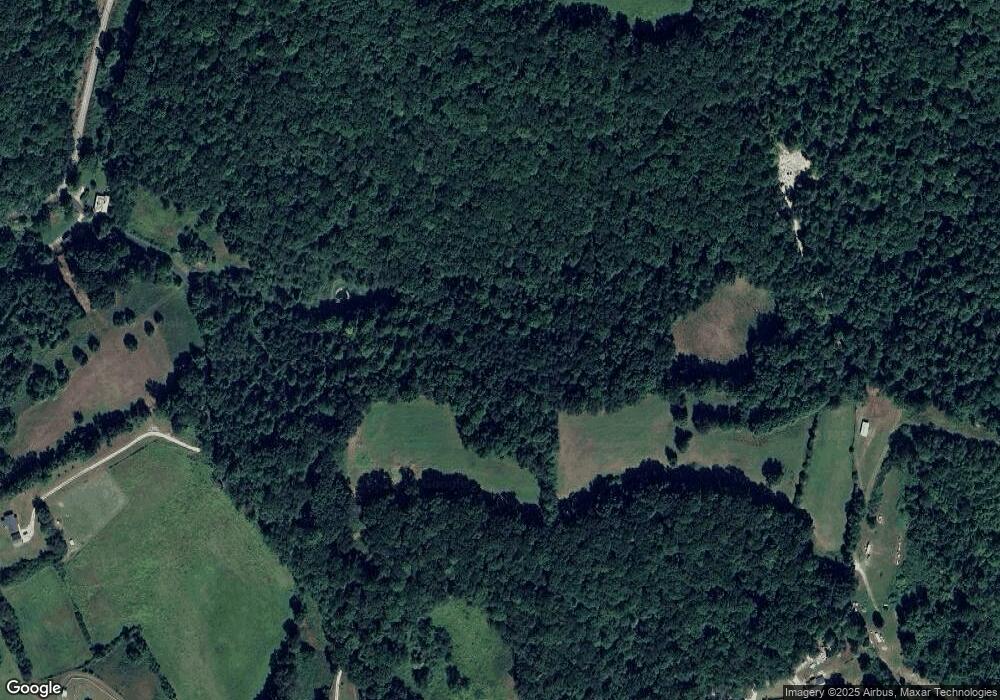
440 Cain Rd Sharps Chapel, TN 37866
Chuck Swan NeighborhoodEstimated Value: $194,000 - $407,359
--
Bed
1
Bath
1,418
Sq Ft
$212/Sq Ft
Est. Value
About This Home
This home is located at 440 Cain Rd, Sharps Chapel, TN 37866 and is currently estimated at $300,680, approximately $212 per square foot. 440 Cain Rd is a home located in Union County with nearby schools including Sharps Chapel Elementary School, H Maynard Middle School, and Union County High School.
Ownership History
Date
Name
Owned For
Owner Type
Purchase Details
Closed on
Mar 17, 2017
Sold by
Graves Joyce Ann and Graves Hugh L
Bought by
Graves Jessie K and Graves Chloe
Current Estimated Value
Purchase Details
Closed on
Mar 13, 2017
Sold by
Graves Hugh L
Bought by
Graves Jesse K / Graves Chloe Graves Joyce An
Purchase Details
Closed on
May 17, 1999
Sold by
Graves Hugh L
Bought by
Jerry Wenger
Purchase Details
Closed on
Sep 22, 1967
Bought by
Graves Hguh L
Create a Home Valuation Report for This Property
The Home Valuation Report is an in-depth analysis detailing your home's value as well as a comparison with similar homes in the area
Home Values in the Area
Average Home Value in this Area
Purchase History
| Date | Buyer | Sale Price | Title Company |
|---|---|---|---|
| Graves Jessie K | -- | None Available | |
| Graves Jessie K | -- | None Available | |
| Graves Jesse K / Graves Chloe Graves Joyce An | -- | -- | |
| Graves Jesse K / Graves Chloe Graves Joyce An | -- | -- | |
| Jerry Wenger | $30,000 | -- | |
| Jerry Wenger | $30,000 | -- | |
| Graves Hguh L | -- | -- | |
| Graves Hguh L | -- | -- |
Source: Public Records
Tax History Compared to Growth
Tax History
| Year | Tax Paid | Tax Assessment Tax Assessment Total Assessment is a certain percentage of the fair market value that is determined by local assessors to be the total taxable value of land and additions on the property. | Land | Improvement |
|---|---|---|---|---|
| 2024 | $859 | $45,200 | $21,250 | $23,950 |
| 2023 | $859 | $45,200 | $21,250 | $23,950 |
| 2022 | $719 | $45,200 | $21,250 | $23,950 |
| 2021 | $768 | $35,900 | $19,875 | $16,025 |
| 2020 | $793 | $37,075 | $19,875 | $17,200 |
| 2019 | $793 | $37,075 | $19,875 | $17,200 |
| 2018 | $793 | $37,075 | $19,875 | $17,200 |
| 2017 | $793 | $37,075 | $19,875 | $17,200 |
| 2016 | $717 | $33,050 | $18,100 | $14,950 |
| 2015 | $714 | $33,050 | $18,100 | $14,950 |
| 2014 | $589 | $32,882 | $0 | $0 |
Source: Public Records
Map
Nearby Homes
- 882 Walker Rd
- 2670 Sharps Chapel Rd
- 6 Walker Rd
- 7 Walker Rd
- Lot #7 Walker Rd
- Lot #6 Walker Rd
- 206 Old Leadmine Bend Rd
- TBD Walker Road Rd
- L17A Old Leadmine Bend Rd Unit Lot 17A
- 0 Helms Ferry Rd
- 0 Pinnacle Pointe Way Unit 1302359
- 103 Pinnacle Pointe Way
- 29a Highland Trace Rd
- 353 Beech Grove Loop
- 0 Highland Trace Rd Unit 1306238
- 0 Highland Trace Rd Unit 1296488
- 98 Pinnacle Pointe Way
- 160 Lost Creek Rd
- 0 Rd
- 379 Walker Rd
- 440 Cain Rd
- 0 Big Sinks Rd
- 0 Big Sink Rd
- 472 Big Sinks Rd
- 488 Big Sinks Rd
- 480 Big Sinks Rd
- 0 Big Sinks Rd Unit 647301
- 282 Big Sinks Rd
- 365 Cain Rd
- 316 Cain Rd
- 505 Big Sinks Rd
- 318 Cain Rd
- 301 Cain Rd
- 10.16 Ac Cain Rd
- 508 Big Sinks Rd
- 302 Cain Rd
- 0 Cain Rd
- 0 Big Sinks Road Rd
- 370 Roop Hill Rd
- 0 Cain Rd
