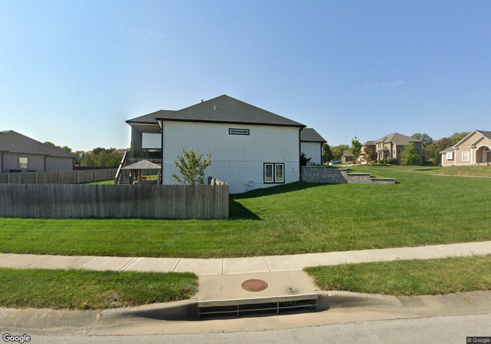
440 Lasley Branch Ct Raymore, MO 64083
Estimated Value: $551,000 - $608,000
4
Beds
3
Baths
1,775
Sq Ft
$329/Sq Ft
Est. Value
About This Home
This home is located at 440 Lasley Branch Ct, Raymore, MO 64083 and is currently estimated at $583,901, approximately $328 per square foot. 440 Lasley Branch Ct is a home located in Cass County with nearby schools including Timber Creek Elementary School, Raymore-Peculiar East Middle School, and Raymore-Peculiar Senior High School.
Ownership History
Date
Name
Owned For
Owner Type
Purchase Details
Closed on
Aug 31, 2020
Sold by
Burton Robert D and Burton Marja
Bought by
Burton Robert D and Burton Marja
Current Estimated Value
Home Financials for this Owner
Home Financials are based on the most recent Mortgage that was taken out on this home.
Original Mortgage
$420,000
Outstanding Balance
$371,730
Interest Rate
3%
Mortgage Type
New Conventional
Estimated Equity
$212,171
Create a Home Valuation Report for This Property
The Home Valuation Report is an in-depth analysis detailing your home's value as well as a comparison with similar homes in the area
Home Values in the Area
Average Home Value in this Area
Purchase History
| Date | Buyer | Sale Price | Title Company |
|---|---|---|---|
| Burton Robert D | -- | None Available | |
| Burton Robert D | -- | Coffelt Land Title Inc |
Source: Public Records
Mortgage History
| Date | Status | Borrower | Loan Amount |
|---|---|---|---|
| Open | Burton Robert D | $420,000 |
Source: Public Records
Tax History Compared to Growth
Tax History
| Year | Tax Paid | Tax Assessment Tax Assessment Total Assessment is a certain percentage of the fair market value that is determined by local assessors to be the total taxable value of land and additions on the property. | Land | Improvement |
|---|---|---|---|---|
| 2025 | $6,120 | $84,020 | $11,410 | $72,610 |
| 2024 | $6,120 | $75,200 | $10,370 | $64,830 |
| 2023 | $6,112 | $75,200 | $10,370 | $64,830 |
| 2022 | $5,449 | $66,600 | $10,370 | $56,230 |
| 2021 | $5,450 | $66,600 | $10,370 | $56,230 |
| 2020 | $2,282 | $61,940 | $10,370 | $51,570 |
| 2019 | $42 | $520 | $520 | $0 |
| 2018 | $36 | $430 | $430 | $0 |
| 2017 | $34 | $430 | $430 | $0 |
| 2016 | $34 | $430 | $430 | $0 |
| 2015 | $35 | $430 | $430 | $0 |
| 2014 | $35 | $430 | $430 | $0 |
| 2013 | -- | $430 | $430 | $0 |
Source: Public Records
Map
Nearby Homes
- 1804 Halls Creek Dr
- Allen Plan at Knoll Creek
- Hill Plan at Knoll Creek
- Thomas Plan at Knoll Creek
- 2300 Plan at Knoll Creek
- Sheilds Plan at Knoll Creek
- Lacey Plan at Knoll Creek
- Paige Plan at Knoll Creek
- Gonzales Plan at Knoll Creek
- 1816 Woodward Cir
- 1822 Woodward Cir
- 1820 Woodward Cir
- 1833 Woodward Cir
- 1806 Hall's Creek Ave
- 1808 Hall's Creek Ave
- 1807 Halls Creek Ave
- 1809 Halls Creek Ave
- 1811 Halls Creek Ave
- 1838 Woodward Cir
- 1839 Woodward Cir
- 1705 Halls Creek Ave
- 436 Lasley Branch Ct
- 436 Pierse Hollow St
- 1704 Halls Creek Ave
- 441 Lasley Branch Ct
- 432 Lasley Branch Ct
- 445 Lasley Branch Ct
- 1702 Halls Creek Ave
- 437 Lasley Branch Ct
- 432 Pierse Hollow St
- 504 Lasley Branch Ct
- 433 Lasley Branch Ct
- 1700 Halls Creek Ave
- 0 Halls Creek Ave
- 428 Pierse Hollow St
- 505 Lasley Branch Ct
- 428 Lasley Branch Ct
- 429 Lasley Branch Ct
- 1802 Halls Creek Ave
- 1610 Halls Creek Ave