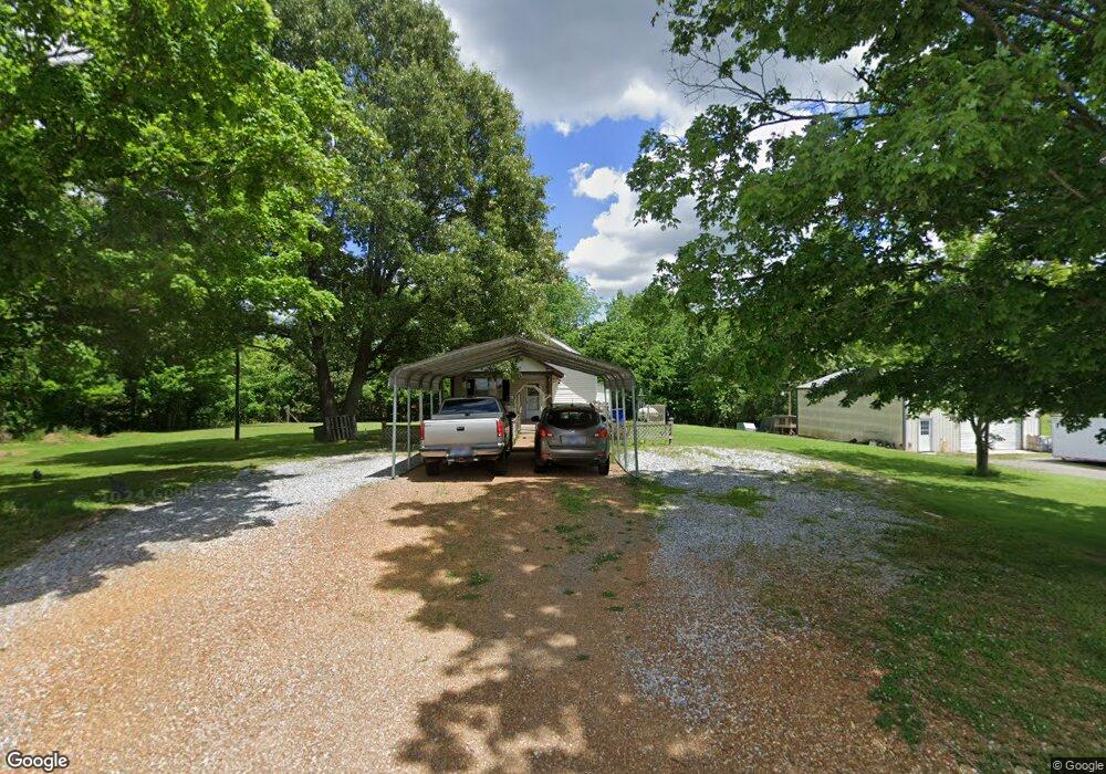
440 Mac Terrell Rd Martin, TN 38237
Estimated Value: $90,438 - $145,000
Studio
1
Bath
1,008
Sq Ft
$108/Sq Ft
Est. Value
About This Home
This home is located at 440 Mac Terrell Rd, Martin, TN 38237 and is currently estimated at $108,360, approximately $107 per square foot. 440 Mac Terrell Rd is a home located in Weakley County.
Ownership History
Date
Name
Owned For
Owner Type
Purchase Details
Closed on
Jun 17, 2021
Sold by
Barnett Benjamin
Bought by
Barnett Patrick and Barnett Amy
Current Estimated Value
Purchase Details
Closed on
Sep 23, 2015
Sold by
Barnett Patrick
Bought by
Barnett Benjamin
Home Financials for this Owner
Home Financials are based on the most recent Mortgage that was taken out on this home.
Original Mortgage
$39,150
Outstanding Balance
$23,000
Interest Rate
3.88%
Mortgage Type
New Conventional
Estimated Equity
$85,360
Purchase Details
Closed on
Nov 14, 2003
Sold by
Hazelwood John E
Bought by
Patrick Barnett
Create a Home Valuation Report for This Property
The Home Valuation Report is an in-depth analysis detailing your home's value as well as a comparison with similar homes in the area
Purchase History
| Date | Buyer | Sale Price | Title Company |
|---|---|---|---|
| Barnett Patrick | -- | None Available | |
| Barnett Benjamin | $43,500 | -- | |
| Patrick Barnett | $35,000 | -- |
Source: Public Records
Mortgage History
| Date | Status | Borrower | Loan Amount |
|---|---|---|---|
| Open | Barnett Benjamin | $39,150 |
Source: Public Records
Tax History
| Year | Tax Paid | Tax Assessment Tax Assessment Total Assessment is a certain percentage of the fair market value that is determined by local assessors to be the total taxable value of land and additions on the property. | Land | Improvement |
|---|---|---|---|---|
| 2025 | $303 | $19,600 | $3,350 | $16,250 |
| 2024 | $269 | $19,600 | $3,350 | $16,250 |
| 2023 | $269 | $19,600 | $3,350 | $16,250 |
| 2022 | $275 | $13,950 | $2,650 | $11,300 |
| 2021 | $275 | $13,950 | $2,650 | $11,300 |
| 2020 | $275 | $13,950 | $2,650 | $11,300 |
| 2019 | $275 | $13,950 | $2,650 | $11,300 |
| 2018 | $275 | $13,950 | $2,650 | $11,300 |
| 2017 | $285 | $13,375 | $2,300 | $11,075 |
| 2016 | $285 | $13,375 | $0 | $0 |
| 2015 | $285 | $13,377 | $0 | $0 |
| 2014 | $285 | $13,377 | $0 | $0 |
Source: Public Records
Map
Nearby Homes
- 8156 Tennessee 118
- 2721 Old Bethel Church Rd Unit Tract 1
- 1761 Hudson Rd Unit Tract 2
- 1761 Hudson Rd Unit Tracts 2,3,4,5
- 0 Austin Springs Rd
- 4500 Austin Springs Rd
- 334 Snyder Rd
- 4321 Kingston Rd
- 3528 Hyndsver Rd
- 841 Turner Rd
- 9117 Lakeview Dr
- 2096 Lee Rd
- 00 Works Rd
- 00 Winstead Rd
- 8799 Meadowlark Cir
- 0 Fancy Rd
- 00 Kentucky 94
- 507 Vancil St
- 508 Vancil St
- 105 Orchard Dr
- 491 Mac Terrell Rd
- 577 Nanney Rd
- 511 Nanney Rd
- 293 Crawford Ln
- 1310 Chestnut Glade Rd
- 1311 Chestnut Glade Rd
- 1083 Chestnut Glade Rd
- 880 Mac Terrell Rd
- 294 Crawford Ln
- 989 Chestnut Glade Rd
- 1553 Chestnut Glade Rd
- 828 Chestnut Glade Rd
- 1642 Chestnut Glade Rd
- 1623 Chestnut Glade Rd
- 140 Mansfield Rd
- 1724 Chestnut Glade Rd
- 698 Chestnut Glade Rd
- 1998 Chestnut Glade Rd
- 364 Nanney Rd
- 690 Chestnut Glade Rd
Your Personal Tour Guide
Ask me questions while you tour the home.