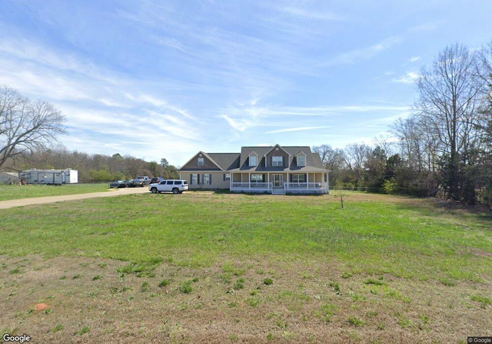
440 Mayfield Rd Unit 442 Duncan, SC 29334
Estimated Value: $236,000 - $250,000
3
Beds
1
Bath
1,082
Sq Ft
$225/Sq Ft
Est. Value
About This Home
This home is located at 440 Mayfield Rd Unit 442, Duncan, SC 29334 and is currently estimated at $243,587, approximately $225 per square foot. 440 Mayfield Rd Unit 442 is a home located in Spartanburg County with nearby schools including Abner Creek Academy, Byrnes Freshman Academy, and Berry Shoals Intermediate School.
Ownership History
Date
Name
Owned For
Owner Type
Purchase Details
Closed on
Aug 21, 2025
Sold by
Sybil H Morrow Revocable Trust and Fleming Tracy M
Bought by
Tracy M Fleming Revocable Trust and Fleming
Current Estimated Value
Purchase Details
Closed on
Feb 17, 2020
Sold by
Fleming Tracy M and Freeman Tina M
Bought by
Morrow Sybil H and Sybil H Morrow Revocable Trust
Purchase Details
Closed on
Mar 4, 2012
Sold by
Morrow Sybil H and Morrow Leroy
Bought by
Freeman Tina M and Freeman Mark A
Create a Home Valuation Report for This Property
The Home Valuation Report is an in-depth analysis detailing your home's value as well as a comparison with similar homes in the area
Home Values in the Area
Average Home Value in this Area
Purchase History
| Date | Buyer | Sale Price | Title Company |
|---|---|---|---|
| Tracy M Fleming Revocable Trust | -- | None Listed On Document | |
| Morrow Sybil H | -- | None Available | |
| Freeman Tina M | -- | -- |
Source: Public Records
Tax History Compared to Growth
Tax History
| Year | Tax Paid | Tax Assessment Tax Assessment Total Assessment is a certain percentage of the fair market value that is determined by local assessors to be the total taxable value of land and additions on the property. | Land | Improvement |
|---|---|---|---|---|
| 2025 | $253 | $3,170 | $464 | $2,706 |
| 2024 | $253 | $3,170 | $464 | $2,706 |
| 2023 | $253 | $3,170 | $464 | $2,706 |
| 2022 | $187 | $2,759 | $387 | $2,372 |
| 2021 | $477 | $3,523 | $384 | $3,139 |
| 2020 | $467 | $3,523 | $384 | $3,139 |
| 2019 | $466 | $3,523 | $384 | $3,139 |
| 2018 | $448 | $3,501 | $384 | $3,117 |
| 2017 | $373 | $3,067 | $315 | $2,752 |
| 2016 | $368 | $3,067 | $315 | $2,752 |
| 2015 | $121 | $2,479 | $315 | $2,164 |
| 2014 | $117 | $2,479 | $315 | $2,164 |
Source: Public Records
Map
Nearby Homes
- 0 Leonard Rd Unit 2518500
- 0 Leonard Rd Unit 1564811
- 171 Ralston Rd
- 329 Elwin Ln
- 126 Mayfield Crossing Ln
- 401 State Road S-42-653
- 1074 Nadine Way
- 2444 Abner Creek Rd
- 202 Princeton Dr
- 238 Braselton St
- 1228 Cyndis Ln
- 1313 Algeddis Dr
- 2396 Abner Creek Rd
- 1013 Rogers Bridge Rd
- 1009 Rogers Bridge Rd
- 107 Brandy Mill Chase
- 1312 Duncan Reidville Rd
- 1131 Victor Hill Rd
- 3025 Olivette Place
- 3052 Olivette Place
- 00 Heath Hill Rd
- 445 Mayfield Rd
- 411 Mayfield Rd
- 0 Leonard Rd Unit 243177
- 0 Leonard Rd Unit 1343615
- 0 Leonard Rd Unit 1475062
- 0 Leonard Rd Unit 1434203
- 0 Leonard Rd Unit 1434201
- 190 Leonard Rd
- 435 Mayfield Rd
- 58 Thackston Rd
- 390 Mayfield Rd
- 140 Thackston Rd
- 0 Mayfield Rd
- 111 Heath Hill Rd
- 230 Leonard Rd
- 146 Thackston Rd
- 112 Heath Hill Rd
- 220 Leonard Rd
- 117 Heath Hill Rd