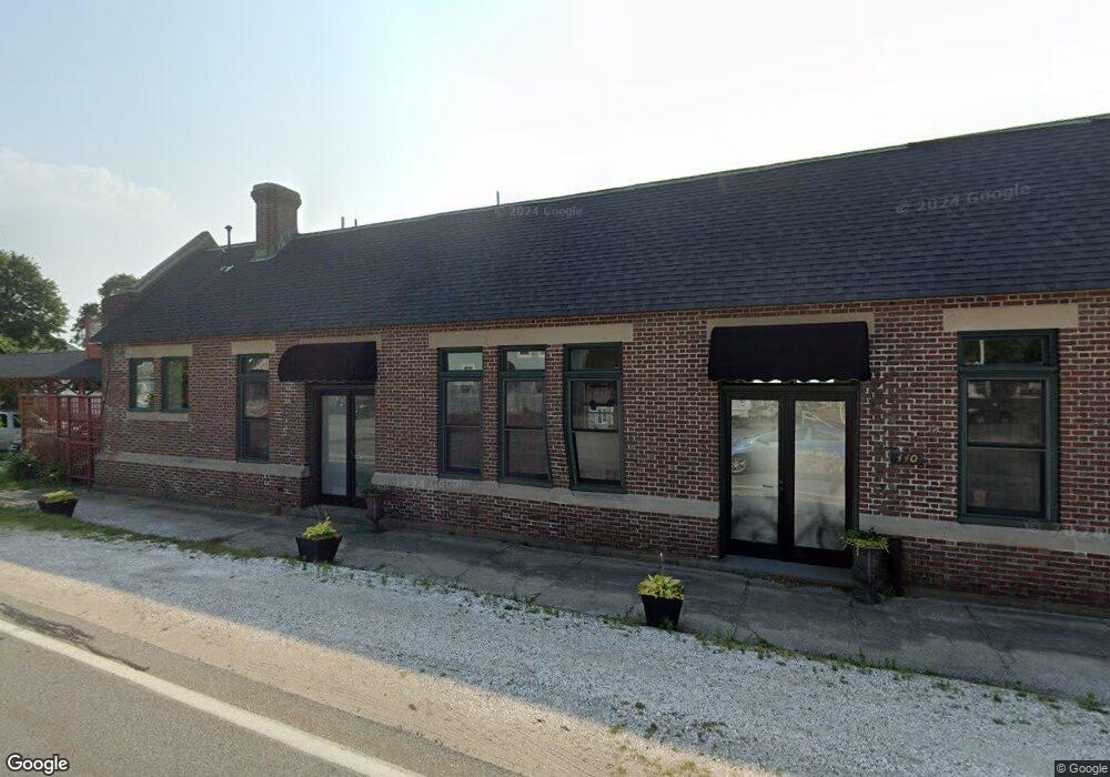
440 Shore Rd Pocasset, MA 2559
Estimated Value: $989,702
--
Bed
--
Bath
2,450
Sq Ft
$404/Sq Ft
Est. Value
About This Home
This home is located at 440 Shore Rd, Pocasset, MA 2559 and is currently estimated at $989,702, approximately $403 per square foot. 440 Shore Rd is a home located in Barnstable County with nearby schools including Bourne High School, St Margaret Regional School, and Cadence Academy Preschool - Bourne.
Ownership History
Date
Name
Owned For
Owner Type
Purchase Details
Closed on
Dec 22, 2005
Sold by
Station Rt and Greenfield
Bought by
Shore Road T and Cornu
Current Estimated Value
Home Financials for this Owner
Home Financials are based on the most recent Mortgage that was taken out on this home.
Original Mortgage
$320,000
Outstanding Balance
$179,786
Interest Rate
6.36%
Mortgage Type
Commercial
Estimated Equity
$809,916
Create a Home Valuation Report for This Property
The Home Valuation Report is an in-depth analysis detailing your home's value as well as a comparison with similar homes in the area
Home Values in the Area
Average Home Value in this Area
Purchase History
| Date | Buyer | Sale Price | Title Company |
|---|---|---|---|
| Shore Road T | $510,000 | -- | |
| Shore Road T | $510,000 | -- |
Source: Public Records
Mortgage History
| Date | Status | Borrower | Loan Amount |
|---|---|---|---|
| Open | Shore Road T | $320,000 | |
| Closed | Shore Road T | $320,000 |
Source: Public Records
Tax History Compared to Growth
Tax History
| Year | Tax Paid | Tax Assessment Tax Assessment Total Assessment is a certain percentage of the fair market value that is determined by local assessors to be the total taxable value of land and additions on the property. | Land | Improvement |
|---|---|---|---|---|
| 2025 | $5,179 | $663,100 | $350,000 | $313,100 |
| 2024 | $5,064 | $631,400 | $333,300 | $298,100 |
| 2023 | $5,350 | $607,300 | $320,500 | $286,800 |
| 2022 | $5,601 | $555,100 | $301,300 | $253,800 |
| 2021 | $5,793 | $537,900 | $292,600 | $245,300 |
| 2020 | $5,675 | $528,400 | $286,900 | $241,500 |
| 2019 | $5,242 | $498,800 | $281,200 | $217,600 |
| 2018 | $4,962 | $470,800 | $270,400 | $200,400 |
| 2017 | $4,853 | $471,200 | $267,700 | $203,500 |
| 2016 | $4,851 | $477,500 | $267,700 | $209,800 |
| 2015 | $4,808 | $477,500 | $267,700 | $209,800 |
Source: Public Records
Map
Nearby Homes