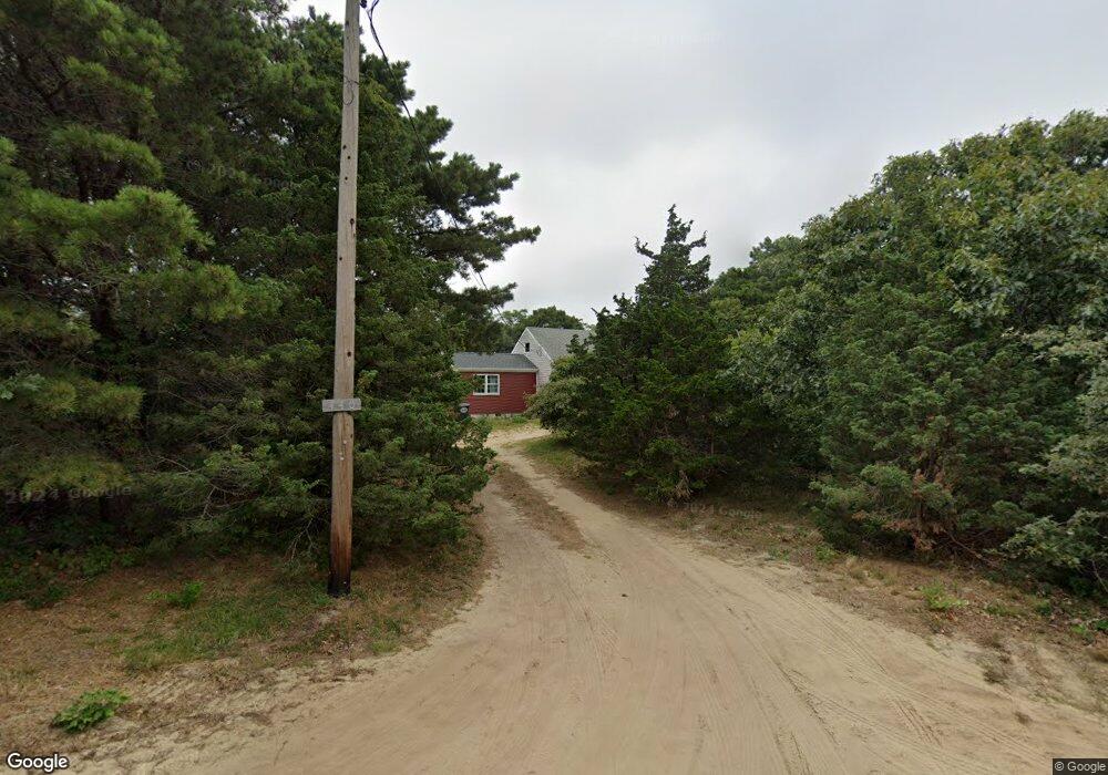
440 Summit Ave Eastham, MA 02642
Estimated Value: $795,373 - $879,000
3
Beds
2
Baths
1,176
Sq Ft
$718/Sq Ft
Est. Value
About This Home
This home is located at 440 Summit Ave, Eastham, MA 02642 and is currently estimated at $844,593, approximately $718 per square foot. 440 Summit Ave is a home located in Barnstable County with nearby schools including Eastham Elementary School, Nauset Regional Middle School, and Nauset Regional High School.
Ownership History
Date
Name
Owned For
Owner Type
Purchase Details
Closed on
Oct 19, 2018
Sold by
Summit Avenue Rt
Bought by
Walter Burges Income T
Current Estimated Value
Purchase Details
Closed on
Oct 24, 2012
Sold by
Burgess Walter W
Bought by
Summit Avenue Rt and Burgess Walter W
Purchase Details
Closed on
Feb 6, 1973
Bought by
Summit Ave Rt
Create a Home Valuation Report for This Property
The Home Valuation Report is an in-depth analysis detailing your home's value as well as a comparison with similar homes in the area
Home Values in the Area
Average Home Value in this Area
Purchase History
| Date | Buyer | Sale Price | Title Company |
|---|---|---|---|
| Walter Burges Income T | -- | -- | |
| Summit Avenue Rt | -- | -- | |
| Burgess Walter W | -- | -- | |
| Summit Ave Rt | $17,000 | -- |
Source: Public Records
Tax History
| Year | Tax Paid | Tax Assessment Tax Assessment Total Assessment is a certain percentage of the fair market value that is determined by local assessors to be the total taxable value of land and additions on the property. | Land | Improvement |
|---|---|---|---|---|
| 2025 | $6,628 | $859,700 | $542,200 | $317,500 |
| 2024 | $5,539 | $790,100 | $526,400 | $263,700 |
| 2023 | $5,004 | $691,200 | $487,400 | $203,800 |
| 2022 | $5,005 | $583,300 | $435,200 | $148,100 |
| 2021 | $4,884 | $532,000 | $395,600 | $136,400 |
| 2020 | $4,649 | $533,100 | $403,700 | $129,400 |
| 2019 | $4,285 | $519,400 | $392,000 | $127,400 |
| 2018 | $4,066 | $487,000 | $361,600 | $125,400 |
| 2017 | $3,771 | $477,300 | $354,400 | $122,900 |
| 2016 | $3,366 | $452,400 | $335,800 | $116,600 |
| 2015 | $3,141 | $442,400 | $329,200 | $113,200 |
Source: Public Records
Map
Nearby Homes
- 295 Shurtleff Rd
- 85 Huckleberry Ln
- 10 Field Rd
- 255 Massasoit Rd
- 600 Kingsbury Beach Rd
- 35 Wiley Ln
- 20 Oak Rd
- 190 Silver Spring Beach Rd
- 495 Aspinet Rd
- 82 Old Orchard Rd
- 80 Quason Dr
- 18 Jay Dee Ln
- 95 Toland Dr
- 311 S Sunken Meadow Rd
- 115 Wamsutta Rd
- 3098 State Hwy
- 65 Harmes Way
- 21 Locust Rd Unit 21
- 65 Cestaro Way
- 50 Surrey Dr
- 400 Summit Ave
- 460 Summit Ave
- 315 Plateau Ave
- 435 Summit Ave
- 345 Plateau Ave
- 415 Summit Ave
- 390 Summit Ave
- 350 Shurtleff Rd
- 295 Plateau Ave
- 355 Plateau Ave
- 395 Summit Ave
- 300 Shurtleff Rd
- 330 Plateau Ave
- 360 Plateau Ave
- 300 Plateau Ave
- 365 Shurtleff Rd
- 370 Summit Ave
- 15 Spooner Rd
- 90 Carlton Way
- 345 Shurtleff Rd
Your Personal Tour Guide
Ask me questions while you tour the home.