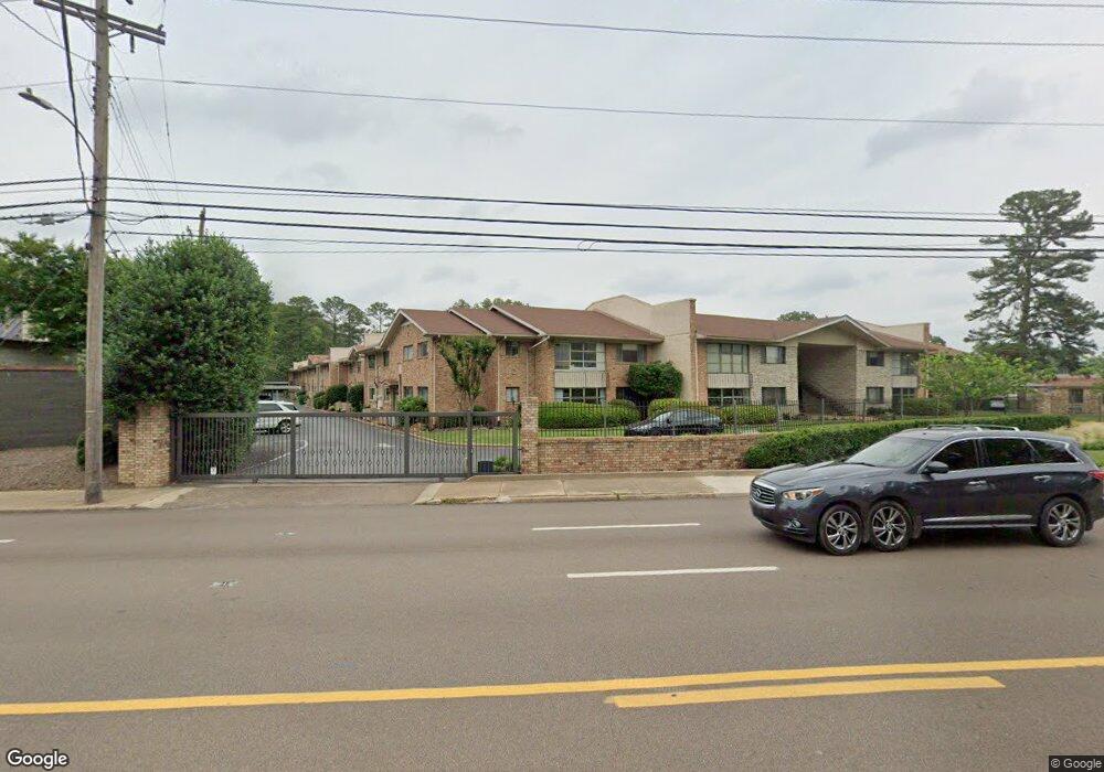
4400 Poplar Ave Unit 35 Memphis, TN 38117
Audubon Park NeighborhoodEstimated Value: $171,925 - $200,000
2
Beds
2
Baths
1,440
Sq Ft
$127/Sq Ft
Est. Value
About This Home
This home is located at 4400 Poplar Ave Unit 35, Memphis, TN 38117 and is currently estimated at $182,481, approximately $126 per square foot. 4400 Poplar Ave Unit 35 is a home located in Shelby County with nearby schools including White Station Elementary School, White Station High, and White Station Middle.
Ownership History
Date
Name
Owned For
Owner Type
Purchase Details
Closed on
Jun 28, 2007
Sold by
Lait Kay and Mitchell Doris Ann
Bought by
House Laura
Current Estimated Value
Home Financials for this Owner
Home Financials are based on the most recent Mortgage that was taken out on this home.
Original Mortgage
$75,000
Interest Rate
6.37%
Mortgage Type
Purchase Money Mortgage
Purchase Details
Closed on
Jul 10, 1997
Sold by
Bell Carol D
Bought by
Lait Kay and Mitchell Doris Ann
Create a Home Valuation Report for This Property
The Home Valuation Report is an in-depth analysis detailing your home's value as well as a comparison with similar homes in the area
Home Values in the Area
Average Home Value in this Area
Purchase History
| Date | Buyer | Sale Price | Title Company |
|---|---|---|---|
| House Laura | $110,000 | None Available | |
| Lait Kay | $90,000 | -- |
Source: Public Records
Mortgage History
| Date | Status | Borrower | Loan Amount |
|---|---|---|---|
| Closed | House Laura | $75,000 |
Source: Public Records
Tax History Compared to Growth
Tax History
| Year | Tax Paid | Tax Assessment Tax Assessment Total Assessment is a certain percentage of the fair market value that is determined by local assessors to be the total taxable value of land and additions on the property. | Land | Improvement |
|---|---|---|---|---|
| 2025 | -- | $49,750 | $3,925 | $45,825 |
| 2024 | -- | $33,125 | $3,925 | $29,200 |
| 2023 | $2,018 | $33,125 | $3,925 | $29,200 |
| 2022 | $2,018 | $33,125 | $3,925 | $29,200 |
| 2021 | $2,042 | $33,125 | $3,925 | $29,200 |
| 2020 | $1,868 | $25,775 | $3,925 | $21,850 |
| 2019 | $1,868 | $25,775 | $3,925 | $21,850 |
| 2018 | $1,868 | $25,775 | $3,925 | $21,850 |
| 2017 | $1,059 | $25,775 | $3,925 | $21,850 |
| 2016 | $929 | $21,250 | $0 | $0 |
| 2014 | $929 | $21,250 | $0 | $0 |
Source: Public Records
Map
Nearby Homes
- 4400 Poplar Ave Unit 48
- 4400 Poplar Ave Unit 45
- 4400 Poplar Ave Unit 25
- 4400 Poplar Ave Unit 31
- 4359 W Cherry Place Dr
- 371 W Cherry Cir
- 326 Cherry Cir E
- 4286 Poplar Ave
- 505 Cherry Rd
- 4563 Aldersgate Rd
- 525 Wild Cherry Cove
- 271 Wakefield Dr
- 4237 Boxwood Green Ln
- 4209 Woodmere Cove
- 505 Thorn Ridge Cove
- 196 E Cherry Cir
- 545 Thorn Ridge Cove
- 405 S Perkins Rd Unit 430
- 4146 Kriter Ln
- 453 S Perkins Rd Unit 453-1
- 4400 Poplar Ave Unit 47
- 4400 Poplar Ave Unit 46
- 4400 Poplar Ave Unit 44
- 4400 Poplar Ave Unit 43
- 4400 Poplar Ave Unit 41
- 4400 Poplar Ave Unit 40
- 4400 Poplar Ave Unit 39
- 4400 Poplar Ave Unit 38
- 4400 Poplar Ave Unit 36
- 4400 Poplar Ave Unit 34
- 4400 Poplar Ave Unit 33
- 4400 Poplar Ave Unit 32
- 4400 Poplar Ave Unit 30
- 4400 Poplar Ave Unit 29
- 4400 Poplar Ave Unit 28
- 4400 Poplar Ave Unit 27
- 4400 Poplar Ave Unit 26
- 4400 Poplar Ave Unit 24
- 4400 Poplar Ave Unit 23
- 4400 Poplar Ave Unit 22