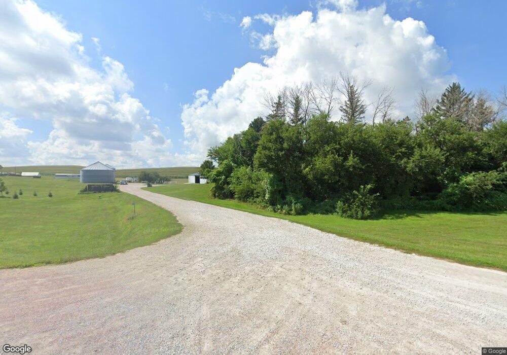
44007 State Highway 37 Dunlap, IA 51529
Estimated Value: $301,000 - $619,000
4
Beds
2
Baths
1,857
Sq Ft
$264/Sq Ft
Est. Value
About This Home
This home is located at 44007 State Highway 37, Dunlap, IA 51529 and is currently estimated at $490,954, approximately $264 per square foot. 44007 State Highway 37 is a home located in Monona County with nearby schools including Boyer Valley Elementary School and Boyer Valley Middle/High School.
Ownership History
Date
Name
Owned For
Owner Type
Purchase Details
Closed on
Jun 29, 2007
Sold by
Roberts Rolland A and Roberts Bethel F
Bought by
Gorham Gary E and Gorham Audrey J
Current Estimated Value
Home Financials for this Owner
Home Financials are based on the most recent Mortgage that was taken out on this home.
Original Mortgage
$280,000
Outstanding Balance
$172,803
Interest Rate
6.26%
Mortgage Type
FHA
Estimated Equity
$318,151
Create a Home Valuation Report for This Property
The Home Valuation Report is an in-depth analysis detailing your home's value as well as a comparison with similar homes in the area
Home Values in the Area
Average Home Value in this Area
Purchase History
| Date | Buyer | Sale Price | Title Company |
|---|---|---|---|
| Gorham Gary E | $280,000 | None Available |
Source: Public Records
Mortgage History
| Date | Status | Borrower | Loan Amount |
|---|---|---|---|
| Open | Gorham Gary E | $280,000 |
Source: Public Records
Tax History Compared to Growth
Tax History
| Year | Tax Paid | Tax Assessment Tax Assessment Total Assessment is a certain percentage of the fair market value that is determined by local assessors to be the total taxable value of land and additions on the property. | Land | Improvement |
|---|---|---|---|---|
| 2024 | $8,746 | $346,913 | $0 | $0 |
| 2023 | $6,106 | $346,913 | $0 | $0 |
| 2022 | $5,590 | $289,078 | $0 | $0 |
| 2021 | $5,314 | $259,555 | $0 | $0 |
| 2020 | $3,216 | $346,951 | $46,763 | $300,188 |
| 2019 | $3,216 | $250,057 | $0 | $0 |
| 2018 | $3,180 | $250,111 | $0 | $0 |
| 2017 | $3,034 | $252,849 | $0 | $0 |
| 2016 | $3,034 | $260,805 | $0 | $0 |
| 2015 | $3,170 | $247,501 | $0 | $0 |
| 2014 | $2,944 | $249,889 | $0 | $0 |
Source: Public Records
Map
Nearby Homes
- 32055 Spruce Ave
- 39472 280th St
- 202 Y St
- 1403 Eaton St
- 37274 310th St
- 321 3rd St
- 431 S Day Ave
- 2313 Easton Trail
- 211 Brookview Dr
- 32255 298th St
- 37 10th St
- 907 Harvest Hills Dr
- 118 Ridgeline Rd
- 111 Ridgeline Rd
- 2074 U Ave
- 905 Harvest Hills Dr
- 102 Bluegrass Ln
- 906 Harvest Hills Dr
- 106 Bluegrass Ln
- 114 Ridgeline Rd
